
Understanding Weather Radar Maps During Severe Weather
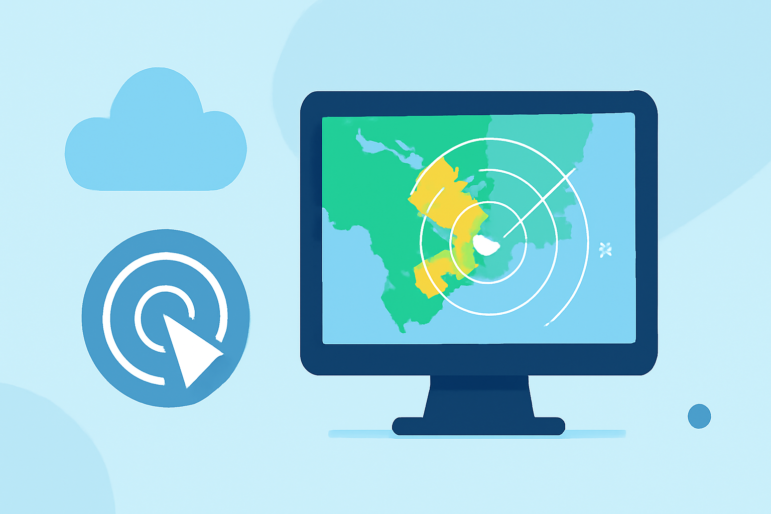
Weather radar maps are essential tools for monitoring and understanding severe weather events. They provide real-time visualizations of precipitation, storm movement, and intensity, enabling individuals to make informed decisions during adverse conditions.
What Do Weather Radar Maps Show?
Weather radar maps display precipitation intensity across regions, using color codes to indicate different levels of rainfall or snowfall. Typically, green represents light precipitation, yellow indicates moderate, and red signifies heavy precipitation. These maps also illustrate storm movement, allowing users to track the progression and potential impact of severe weather events.
How Often Are Weather Radar Maps Updated?
Radar maps are updated at regular intervals, often every 5 to 10 minutes, to provide timely information on rapidly changing weather conditions. This frequent updating is crucial during severe weather events, as it allows for the monitoring of storm development and movement in near real-time.
What Are the Different Types of Radar Images?
Radar images come in various forms, including:
-
Reflectivity Images: Show the intensity of precipitation, helping to identify areas of heavy rainfall or snowfall.
-
Velocity Images: Indicate wind speeds and directions, useful for detecting rotation within storms that may lead to tornadoes.
-
Dual-Polarization Images: Provide information on precipitation type and size, aiding in distinguishing between rain, snow, sleet, and hail.
How Can I Interpret Weather Radar Maps?
To effectively interpret weather radar maps during severe weather:
-
Understand the Color Codes: Familiarize yourself with the color schemes used to represent different precipitation intensities.
-
Monitor Storm Movement: Observe the direction and speed of storm systems to anticipate their impact on your location.
-
Check for Alerts: Look for any severe weather warnings or advisories associated with the radar images.
How Can Clime Assist in Tracking Severe Weather?
Clime offers an interactive radar map that updates every few minutes, providing real-time visualizations of precipitation, storm movement, and intensity. This tool is designed to help users track severe weather events effectively. Additionally, Clime provides alerts for your specific locations, ensuring you receive timely notifications about severe weather developments. (climeradar.com)
What Are the Benefits of Using Clime's Weather Radar?
-
Real-Time Updates: Stay informed with the latest weather information, crucial during rapidly changing conditions.
-
User-Friendly Interface: Navigate through weather data with ease, even during high-stress situations.
-
Comprehensive Coverage: Access detailed weather information for any location, ensuring preparedness no matter where you are.
Conclusion
Understanding weather radar maps is vital for effectively monitoring and responding to severe weather events. By utilizing tools like Clime's interactive radar, individuals can gain valuable insights into storm patterns and make informed decisions to ensure safety during adverse weather conditions.
Highlights:
- Severe Weather Warnings & Watches | AccuWeather