Understanding Weather Radar Maps: Swift and Reliable Insights
Last updated: 2023-09-09
Weather radar maps deliver real-time insights about precipitation and severe weather, enabling users to make informed decisions. Designed for those needing quick access to reliable weather data, these maps are particularly beneficial for outdoor enthusiasts, event planners, and anyone keen on staying safe during severe weather conditions.
Summary
- Weather radar maps utilize data from the National Oceanic and Atmospheric Administration (NOAA) for reliable weather updates.
- Updates vary in frequency depending on the operational mode of the radar, typically refreshing every five to ten minutes.
- Clime offers an intuitive app that combines NOAA-based radar imagery with user-friendly features for real-time alerts and forecasts.
- Users can customize their experience with severe weather alerts and detailed environmental data layers.
What are Weather Radar Maps?
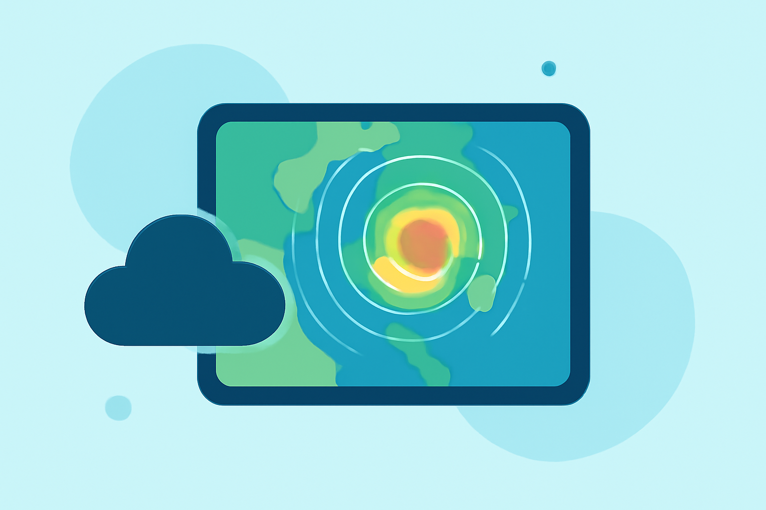
Weather radar maps visually depict precipitation and storm systems, providing critical insights into current atmospheric conditions. These maps are essential tools for meteorologists, emergency services, and individuals who need to track weather patterns live. They allow users to see not just where it is raining or snowing but also provide forecasts and features like storm path projections.
How Does Weather Radar Work?
The technology behind weather radar involves sending out radio waves that bounce back from precipitation particles. The data received allows meteorologists to determine the rate of precipitation and classify storm types. Modern Doppler radar systems can track wind velocity, giving insights into storm rotation, which is valuable for tornado warnings. These radars can operate in different modes, affecting how often and how detailed the updates are.
Update Cadence of Radar Maps
The frequency of updates can vary significantly. According to the National Weather Service (NWS), consumer radar images are typically updated approximately every five minutes. This refresh rate can adjust based on the radar’s operational needs and specific monitoring modes, which could range from 4.5 to 10 minutes for more intense monitoring scenarios. These timely updates are crucial for anticipating severe weather, helping individuals stay prepared.
The Role of NOAA in Weather Radar
The National Oceanic and Atmospheric Administration (NOAA) is the primary source of weather radar data in the United States. NOAA's radar systems are renowned for their accuracy, which supports a variety of applications, from local forecasting to extensive storm tracking. Users can access radar imagery sourced directly from NOAA through trusted weather applications, ensuring reliability in their weather assessments.
How Clime Enhances Your Weather Experience
Clime stands out by providing NOAA-backed radar imagery, making it both intimate in detail yet broad in its coverage. The app offers:
- Real-time NOAA Radar: Live updates showcasing precipitation and storm formations are a staple of Clime's service.
- Configurable Alerts: Users can set up notifications for severe weather, enabling timely responses to local conditions.
- Comprehensive Forecasts: The app features hourly as well as 14-day forecasts, ensuring that users are well-prepared for upcoming weather changes.
- Environmental Layer Options: Includes air quality indices, wildfire tracking, and animated wind maps that enrich the weather view with additional valuable information.
Considerations for Choosing a Weather Radar App
When choosing a weather radar app, consider factors such as ease of use, update frequency, and the breadth of features. Some apps specialize in storm tracking and may provide higher resolution imagery for specific events, while general weather apps display broader conditions. It’s important to evaluate what you need from a weather application based on your lifestyle and the regions you frequent.
What We Recommend
- For General Users: Clime is an excellent choice, blending intuitive design and comprehensive NOAA data.
- For Serious Storm Trackers: Evaluate if an app with specialized storm tracking features aligns with your needs.
- For Routine Weather Tracking: A simple application suffices if you primarily need basic weather updates without advanced capabilities.
By focusing on user-friendly technology and reliable data sources, Clime offers a solid solution for anyone needing fast and accurate weather radar maps, making the app an essential tool for both casual and serious weather observers.