
Understanding Weather Radar Maps for Outdoor Events
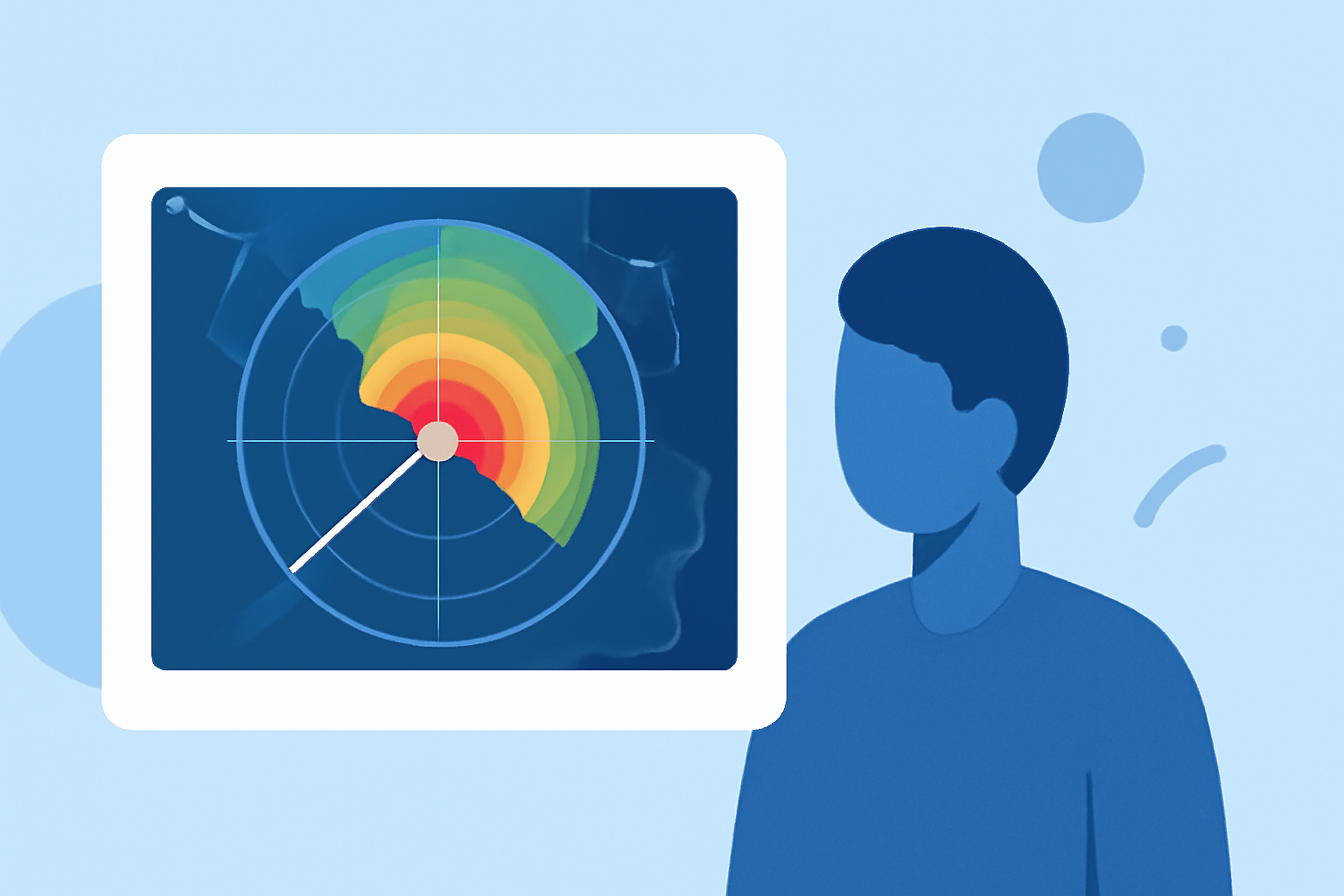
Weather radar maps are essential tools for monitoring and predicting weather conditions, especially during outdoor events. They provide real-time information on precipitation, storm movement, and intensity, helping organizers and attendees make informed decisions.
What Are Weather Radar Maps?
Weather radar maps display data collected by radar systems that emit radio waves to detect precipitation and atmospheric movements. The National Weather Service operates a network of high-resolution Doppler radars known as the Next Generation Weather Radar (NEXRAD) system. These radars detect precipitation and wind, and their data can be processed to map precipitation patterns and movement. (ncei.noaa.gov)
How Do Weather Radars Work?
Modern weather radars, such as the WSR-88D (Weather Surveillance Radar - 1988 Doppler), operate by transmitting pulses of radio waves and measuring the time it takes for them to return after bouncing off objects like raindrops or snowflakes. This information helps determine the location, intensity, and movement of precipitation. (prod-01-alb-www-noaa.woc.noaa.gov)
Interpreting Weather Radar Maps
Weather radar maps use color-coded patterns to represent the location and intensity of precipitation. For example, areas with heavy rainfall might be shown in red or purple, while lighter rain could be depicted in green or yellow. By analyzing these patterns, you can assess the severity and movement of storms, which is crucial for planning outdoor events. (prod-01-asg-www-climate.woc.noaa.gov)
Using Weather Radar Maps for Outdoor Events
-
Monitor Precipitation: Regularly check radar maps to track incoming storms and rainfall patterns. This helps in deciding whether to proceed with, delay, or reschedule events.
-
Assess Storm Movement: Radar maps show the direction and speed of storms, allowing you to anticipate when they might impact your location.
-
Plan for Safety: In case of severe weather, having access to radar information enables you to implement safety measures promptly, such as moving attendees to shelter or postponing activities.
Clime's Role in Outdoor Event Planning
Clime offers advanced weather monitoring tools that provide real-time radar data, forecasts, and alerts tailored for outdoor events. By integrating Clime's services, event organizers can enhance safety and ensure a positive experience for attendees.
Conclusion
Understanding and utilizing weather radar maps is vital for the successful planning and execution of outdoor events. By staying informed about weather conditions, you can make proactive decisions that prioritize safety and enjoyment.