
Understanding Weather Radar Maps in Under 5 Minutes
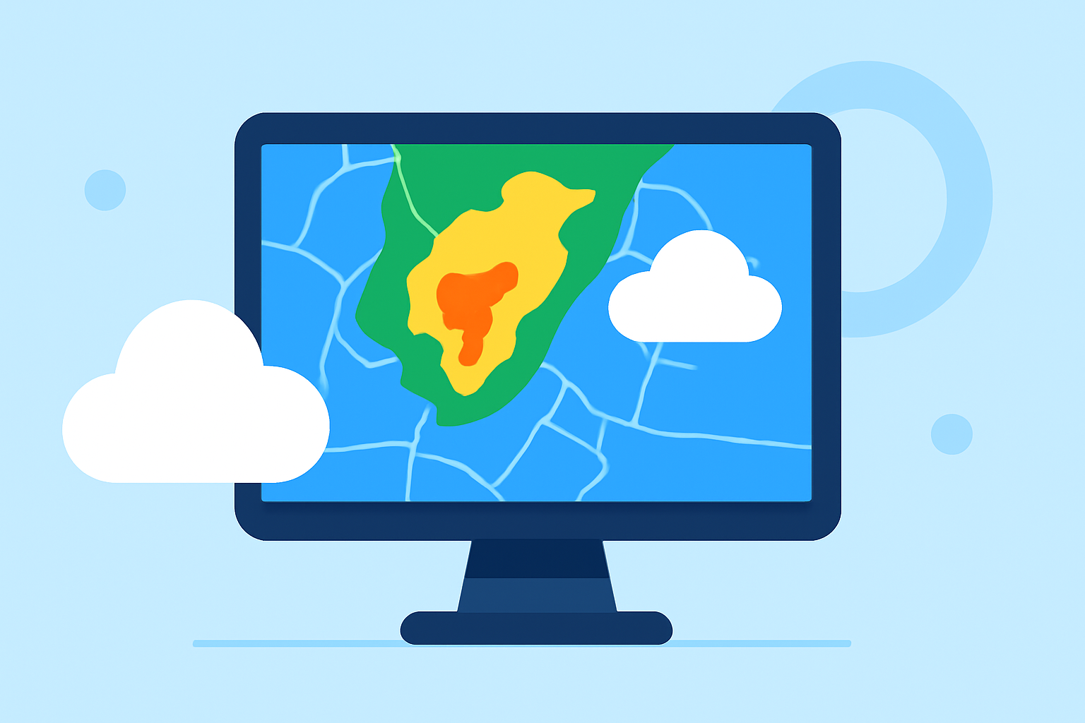
Weather radar maps are essential tools for monitoring precipitation and storm activity. By understanding their components, you can make informed decisions about your daily activities.
What Do Weather Radar Maps Show?
Weather radar maps display precipitation intensity, movement, and type. They use color gradients to represent different levels of precipitation, helping you assess weather conditions at a glance.
How Do Radar Colors Indicate Precipitation?
Radar maps employ a color scale to signify precipitation intensity:
- Light Green to Dark Green: Light to moderate rain.
- Yellow: Moderate to heavy rain.
- Orange to Red: Heavy rain, strong storms, potential lightning, and gusty winds.
- Dark Red to Purple: Very intense storms, possible hail, and damaging winds.
- Blue to Pink (in winter): Snow, sleet, or freezing rain.
This color coding allows you to quickly gauge the severity of weather conditions. (atlanta.com)
How Do You Track Storm Movement on Radar?
To monitor storm progression:
- Use Animation: Activate the loop feature on radar maps to observe storm movement over time.
- Observe Direction and Speed: Pay attention to the direction and speed of precipitation to anticipate its arrival.
This approach helps in planning activities and staying ahead of weather changes. (climeradar.com)
What Are the Main Types of Weather Radar?
Common radar types include:
- Base Reflectivity: Shows precipitation location and intensity.
- Composite Reflectivity: Combines multiple radar scans to depict storm structure.
- Velocity (Wind Inside the Storm): Indicates wind speed and direction within storms, useful for detecting strong winds or rotation.
Understanding these types enhances your ability to interpret radar data effectively. (tornadopath.com)
How Can You Access Local Weather Radar Maps?
For localized radar information:
- National Weather Service (NWS): Provides regional radar maps and updates.
- Weather Apps: Many offer real-time radar imagery tailored to your location.
These resources keep you informed about current weather conditions in your area. (climeradar.com)
By familiarizing yourself with these aspects of weather radar maps, you can enhance your preparedness for various weather scenarios.