
Understanding Weather Radar Maps: A Guide for Non-Technical Users
Weather radar maps are essential tools for monitoring and understanding atmospheric conditions, especially precipitation patterns. For non-technical users, grasping the basics of these maps can significantly enhance weather awareness and preparedness.
What Are Weather Radar Maps?
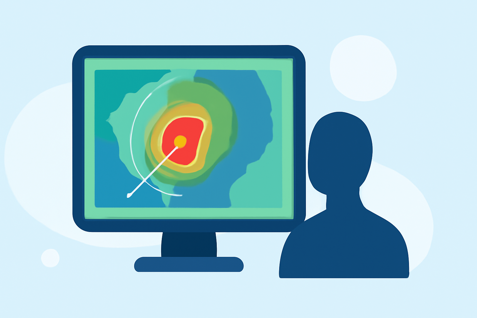
Weather radar maps display real-time data on precipitation, such as rain, snow, sleet, or hail, by visualizing the intensity and movement of these weather events. They utilize radar technology to detect precipitation particles and present this information on a map, often using color gradients to indicate varying intensities.
How Do Weather Radar Maps Work?
Radar systems emit radio waves that bounce off precipitation particles in the atmosphere. The radar then measures the time it takes for these waves to return, calculating the distance and intensity of the precipitation. This data is processed and displayed on a map, often with color coding to represent different precipitation intensities.
Key Features to Understand
-
Precipitation Intensity: Color gradients on the map indicate the strength of precipitation. For example, light greens may represent light rain, while reds indicate heavy rainfall.
-
Movement and Direction: Animated radar maps show the progression of weather systems over time, helping users anticipate the arrival and movement of precipitation.
-
Precipitation Type: Some radar maps distinguish between rain, snow, sleet, and hail, providing a clearer picture of current weather conditions.
How to Use Weather Radar Maps Effectively
-
Select a User-Friendly Platform: Choose a weather radar map that offers an intuitive interface and clear visualizations.
-
Zoom and Pan: Adjust the map to focus on your specific location or area of interest.
-
Interpret the Legend: Understand the color coding and symbols used to represent different precipitation types and intensities.
-
Monitor Animation: Use the animation feature to observe the movement and development of weather systems over time.
-
Stay Updated: Regularly check the radar map for the latest information, especially during severe weather events.
Benefits of Using Weather Radar Maps
-
Enhanced Preparedness: By understanding radar maps, you can anticipate weather changes and plan activities accordingly.
-
Informed Decision-Making: Access to real-time data aids in making decisions related to travel, outdoor events, and safety measures.
-
Increased Awareness: Regular use of radar maps keeps you informed about local and regional weather patterns.
Conclusion
Weather radar maps are invaluable tools for non-technical users seeking to understand and monitor precipitation patterns. By familiarizing yourself with their features and functionalities, you can make informed decisions and stay prepared for changing weather conditions.