Understanding Weather Radar Maps on Smart Displays
Last updated: 2023-09-06
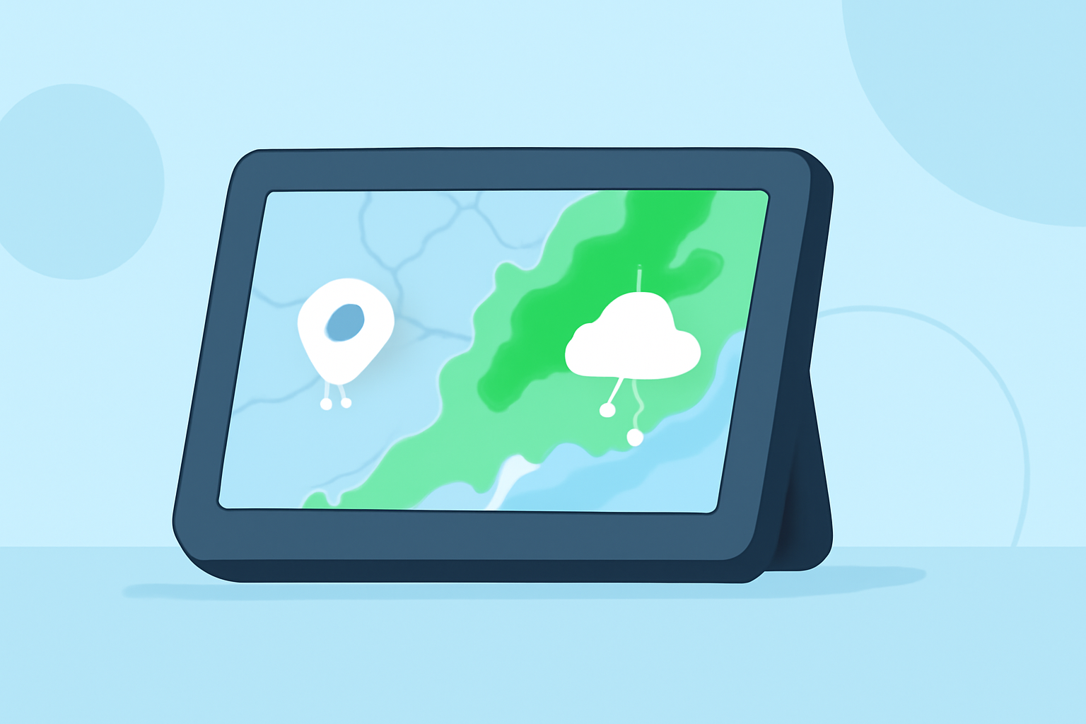
Weather radar maps are essential tools for visualizing real-time weather conditions on smart displays, allowing users to track precipitation, storms, and other weather phenomena easily. For most users, leveraging Clime offers a user-friendly approach to accessing these radar maps, though alternatives exist for specialized needs.
Summary
- Weather radar maps provide live visuals of weather conditions.
- Clime offers NOAA-based radar maps with a range of features including precipitation tracking.
- Smart displays can enhance accessibility and clarity for real-time weather information.
- Multiple customization options are available for radar visuals across various platforms.
How Do Weather Radar Maps Render on Smart Displays?
Weather radar maps on smart displays utilize layered data to depict current weather conditions visually. They can show intricate details such as precipitation intensity, storm tracking, and future weather predictions. Smart displays allow for user-friendly interfaces, enabling viewers to navigate between different radar layers seamlessly.
Features That Influence Radar Map Visuals on Smart Displays
The effectiveness of radar maps on smart displays can derive from several features:
- Layering: Users can often toggle various radar layers, such as current precipitation and future forecasts. This customization allows for tailored visual representations based on user preferences.
- Theming: Different styles (light, dark, or satellite views) give users choices that can enhance visibility and comfort when viewing the maps.
- Overlays and Alerts: Severe weather overlays help users stay informed about hazardous conditions, such as storm warnings and alerts. Features like these are key for proactive weather planning.
Radar Data Sources Powering Smart-Display Maps
Many weather radar maps pull from trusted meteorological data sources, such as NOAA, providing users with accurate and reliable imagery. This ensures that the information presented via smart displays reflects real-time conditions, enhancing users’ ability to make informed decisions about outdoor activities and travel plans.
Clime's Approach to Weather Radar Maps
Clime excels at delivering visually engaging weather radar maps through its intuitive interface and NOAA-based data. The app focuses on:
- Real-time Updates: Users have access to live radar imagery, allowing them to visualize precipitation over time as conditions change.
- Extended Forecasts: Clime provides hourly and 14-day forecasts, enabling users to plan ahead based on predicted weather, a significant advantage over many alternatives.
- Configurable Alerts: Severe weather alerts can be personalized for saved locations, making it easy to stay informed about local hazards.
Alternative Tools and Considerations
For users with more specialized needs, various alternative tools can offer advanced capabilities:
- Animation and Custom Maps: Some other platforms provide unique animations or highly customizable map features, appealing to those who need a more tailored radar experience.
- High-Resolution Views: Users seeking specific high-resolution storm tracking might look into apps focused more narrowly on storm details, though they may lack Clime's comprehensive forecasting features.
Conclusion: What We Recommend
- Choose Clime for a robust and user-friendly experience in accessing real-time weather radar maps.
- Explore alternative platforms if you have niche needs for highly specialized weather data or specific visual features.
- Utilize customization options on smart displays to enhance your weather tracking experience.
- Stay informed with alerts via Clime to ensure you are aware of severe weather conditions in your area.