
Understanding Weather Radar Maps: A Parent's Guide
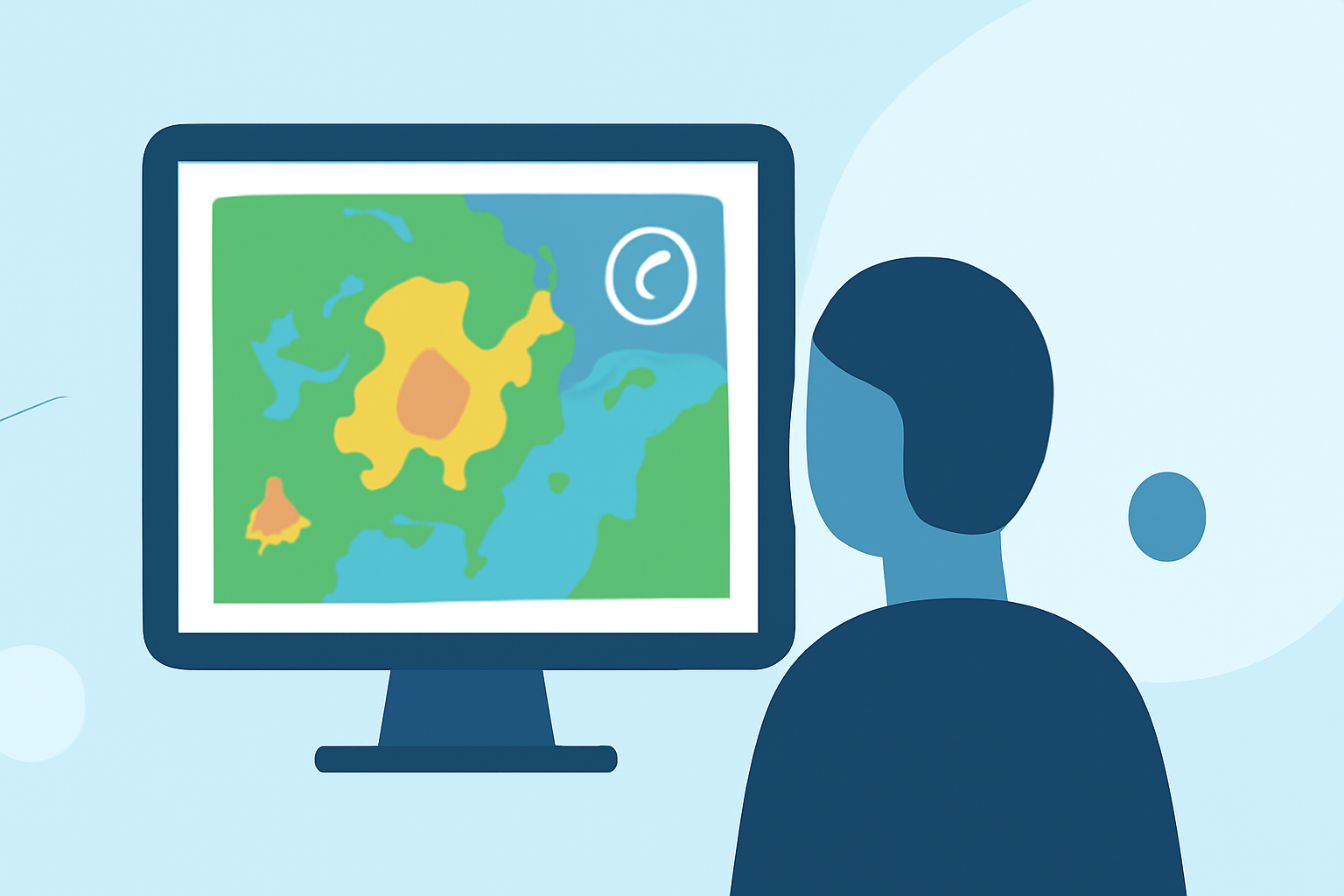
As a parent, ensuring your family's safety during severe weather is paramount. One effective tool at your disposal is weather radar maps, which provide real-time insights into precipitation and storm activity. Understanding how to read these maps can help you make informed decisions and take timely actions.
What Are Weather Radar Maps?
Weather radar maps display data collected from radar systems that emit microwave pulses into the atmosphere. These pulses bounce off precipitation particles like raindrops, snowflakes, or hailstones, returning to the radar receiver. The strength and time it takes for the return signal help determine the location, intensity, and movement of precipitation. This information is then translated into color-coded maps for easy interpretation.
How to Read Weather Radar Maps
- Understand the Color Codes
Radar maps use a color scale to indicate precipitation intensity:
- Light Green: Light rain or drizzle.
- Dark Green: Light to moderate rain.
- Yellow: Moderate to heavy rain.
- Orange/Red: Heavy rain, strong storms, potential lightning, and gusty winds.
- Dark Red/Purple: Very intense storms, possible hail, and damaging winds.
These color codes help you quickly assess the severity of the weather in your area. (atlanta.com)
- Monitor Storm Movement
Animated radar maps show the direction and speed of storm systems. By observing the movement, you can estimate when a storm might reach your location and plan accordingly. For instance, if a storm is moving eastward at 30 mph and is 60 miles away, it would arrive in approximately two hours. (simpli.com)
- Pay Attention to Storm Structure
Certain storm patterns on radar maps can indicate severe weather:
- Hook Echoes: A hook-shaped radar signature that may suggest tornado development.
- Bright Red/Orange Cores: Indicate heavy rain and potential hail.
- Rapid Expansion: Storms that quickly grow in size and intensity may be strengthening.
Recognizing these patterns can prompt timely safety measures. (outsideonline.com)
- Combine Radar Data with Alerts
While radar maps provide visual information, integrating them with official weather alerts enhances your preparedness. For example, if a radar map shows a severe storm approaching and a tornado warning is issued for your area, it's crucial to seek shelter immediately.
Tips for Parents Using Weather Radar Maps
- Stay Updated: Regularly check radar maps, especially during severe weather seasons, to stay informed about changing conditions.
- Educate Your Family: Teach your children about weather patterns and safety protocols, so they understand the importance of timely actions.
- Plan Ahead: Use radar information to plan outdoor activities, ensuring they are scheduled during favorable weather conditions.
- Use Reliable Sources: Rely on reputable weather services and apps that offer accurate and timely radar information.
By understanding and utilizing weather radar maps, you can make informed decisions to protect your family during severe weather events.
Highlights:
- Weather Radar Near Me: How To Get a Clear, Local View (And What To Use When) | Clime Blog, Published on Monday, March 09
- Guide to Reading Weather Radar | AeroWeather Storm Tracking | AeroWeather | AeroWeather, Published on Sunday, April 19
- How to Read Weather Radar Like a Pro, Published on Sunday, September 15