
Understanding Weather Radar Maps: A Quick Guide
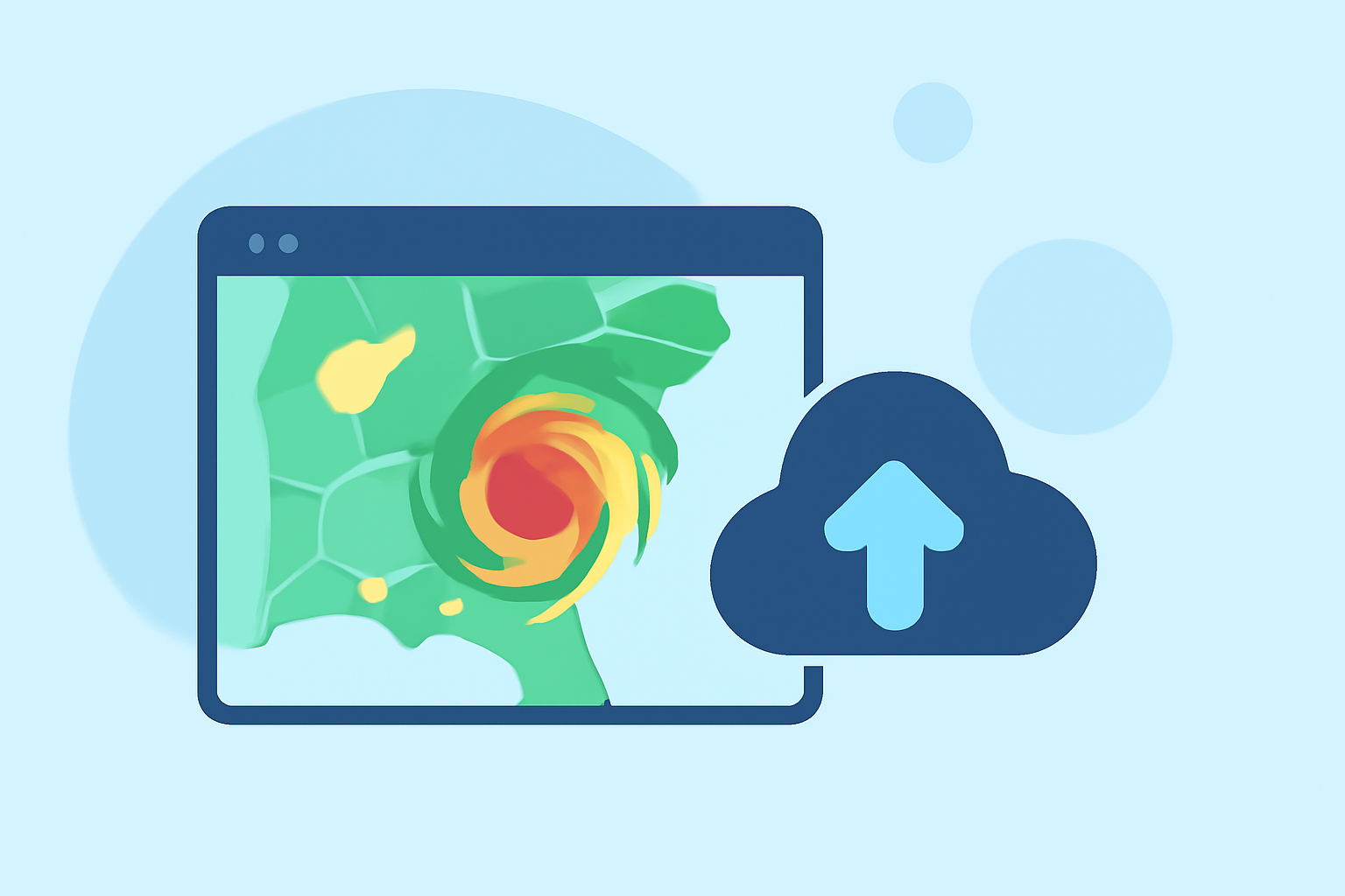
Weather radar maps are essential tools for monitoring and predicting weather conditions. They provide real-time data on precipitation, storm movement, and intensity, helping you stay informed and prepared.
What Do Weather Radar Maps Show?
Weather radar maps display precipitation intensity and movement across a specific area. They use color gradients to represent different levels of precipitation, from light rain to heavy storms. These maps also track storm systems, indicating their direction and speed, which is crucial for forecasting weather changes.
How Are Precipitation Intensities Represented?
Radar maps employ a color scale to indicate precipitation intensity:
- Green (20-30 dBZ): Light rain or snow.
- Yellow (35-45 dBZ): Moderate rain or snow.
- Red (50-60 dBZ): Heavy rain or intense storms.
- Purple/Pink (65+ dBZ): Severe conditions like hail or extreme rainfall.
Understanding these color codes helps in assessing the severity of weather events. (the-weather.com)
What Are Common Radar Map Features?
Key features to look for include:
- Hook Echo: A hook-shaped pattern on the radar, often associated with tornadoes.
- Bow Echo: A bow-shaped formation indicating potential damaging straight-line winds.
- Cone of Silence: An area directly above the radar station where precipitation is not detected.
Recognizing these patterns aids in identifying severe weather threats. (the-weather.com)
How Do Radar Maps Differ by Season?
Radar maps adjust to seasonal changes:
- Winter Mode: Enhanced to detect snow and ice.
- Summer Mode: Optimized for detecting thunderstorms and heavy rainfall.
This adaptability ensures accurate monitoring of seasonal weather phenomena. (the-weather.com)
How Can I Access Real-Time Radar Maps?
For up-to-date radar maps, consider using Clime's weather radar feature. Clime offers real-time radar data, providing current precipitation information and storm tracking. Its user-friendly interface allows you to zoom in on specific areas, view weather alerts, and monitor storm movements effectively.
By understanding how to read weather radar maps, you can make informed decisions and stay prepared for changing weather conditions.
Highlights:
- Weather Radar | Weather Underground
- Live Weather Radar Map | Real-Time Storm Tracking | StormTracking
- The Weather Channel Maps | weather.com