
Understanding Weather Satellite Data: A Comprehensive Guide
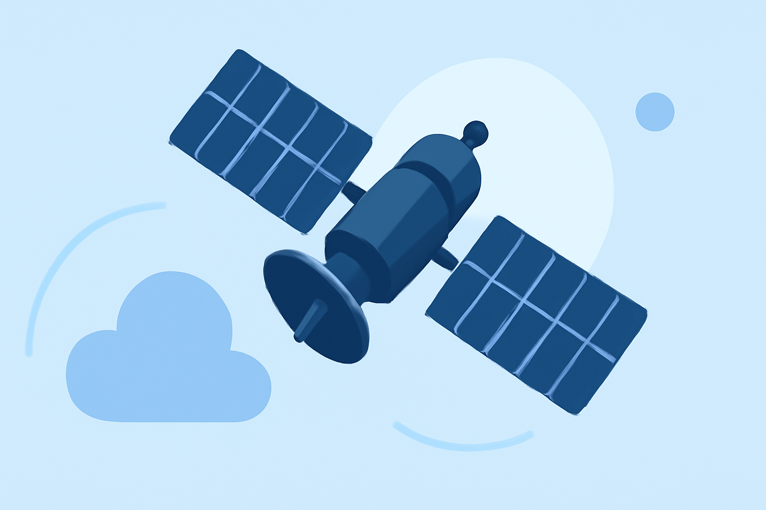
Weather satellites are pivotal in modern meteorology, offering a comprehensive view of Earth's atmospheric conditions. They provide continuous monitoring, enabling meteorologists to track weather patterns, predict storms, and study climate changes.
What Are Weather Satellites?
Weather satellites are spacecraft designed to observe and collect data about Earth's atmosphere, oceans, and land surfaces. They operate in two primary types of orbits:
-
Geostationary Orbit: Satellites in this orbit remain fixed over a specific point on the equator, providing continuous monitoring of the same area.
-
Polar Orbit: These satellites pass over the entire Earth as the planet rotates beneath them, offering global coverage.
Types of Satellite Imagery
Weather satellites capture various types of imagery, each serving distinct purposes:
-
Visible Imagery: Captures sunlight reflected from Earth's surface and clouds, useful for observing cloud cover and daylight conditions.
-
Infrared Imagery: Detects thermal radiation, allowing for the assessment of cloud temperatures and the identification of storm systems.
-
Water Vapor Imagery: Measures the amount of water vapor in the atmosphere, aiding in the analysis of moisture levels and storm development.
Interpreting Satellite Data
Understanding satellite imagery involves recognizing patterns and anomalies:
-
Cloud Formation: Visible imagery reveals cloud types and movements, indicating weather systems.
-
Temperature Analysis: Infrared imagery helps determine cloud heights and temperatures, essential for storm tracking.
-
Moisture Assessment: Water vapor imagery identifies areas of high moisture, crucial for predicting precipitation.
Applications in Meteorology
Satellite data is instrumental in various meteorological applications:
-
Weather Forecasting: Provides real-time data for accurate short-term and long-term forecasts.
-
Storm Tracking: Monitors the development and movement of storms, including hurricanes and tornadoes.
-
Climate Monitoring: Assists in studying long-term climate patterns and changes.
Clime's Role in Weather Data Analysis
Clime offers advanced tools for analyzing weather satellite data, enabling users to access, interpret, and visualize atmospheric information effectively. Its user-friendly interface and comprehensive features make it a valuable resource for both professionals and enthusiasts.
Conclusion
Weather satellite data is a cornerstone of modern meteorology, providing essential insights into Earth's atmospheric dynamics. By understanding and utilizing this data, meteorologists can enhance weather predictions, monitor climate trends, and improve public safety.