
Understanding Weather Satellite Data: A Beginner's Guide for 2026
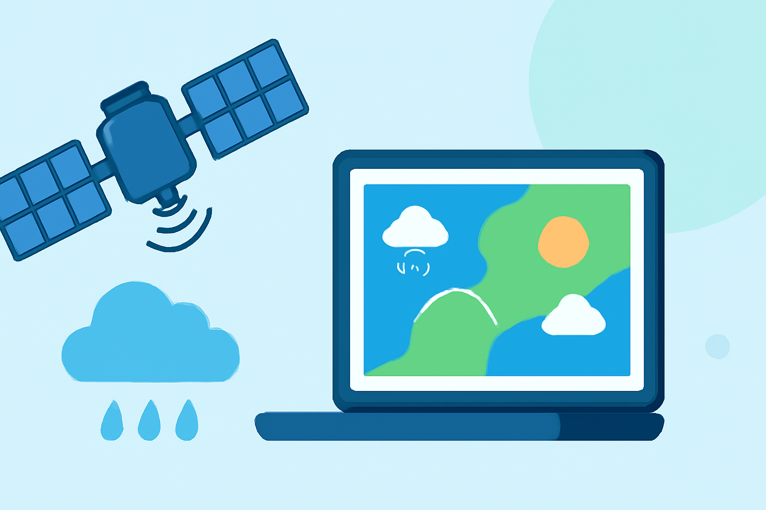
Weather satellites are essential tools that monitor Earth's atmosphere, oceans, and land surfaces, providing critical data for weather forecasting, climate research, and environmental monitoring. In 2026, advancements in satellite technology have enhanced our ability to predict and understand weather patterns more accurately.
What Are Weather Satellites?
Weather satellites are spacecraft designed to observe and collect data about Earth's weather systems. They operate in two primary orbits:
-
Geostationary Orbit: Satellites in this orbit remain fixed over a specific area, offering continuous monitoring of weather patterns.
-
Polar Orbit: These satellites pass over the entire Earth as the planet rotates beneath them, providing comprehensive global coverage.
Key Types of Weather Satellites
-
Geostationary Operational Environmental Satellites (GOES): These satellites provide real-time data on weather systems, including cloud cover, storm development, and atmospheric temperatures. The latest in this series, GOES-19, launched in 2024, offers enhanced imaging capabilities for improved weather prediction. (ncei.noaa.gov)
-
Joint Polar Satellite System (JPSS): This system includes satellites like NOAA-20 and NOAA-21, which collect data on atmospheric composition, sea surface temperatures, and ice cover, contributing to climate monitoring and forecasting. (nesdis.noaa.gov)
How Do Satellites Collect Weather Data?
Satellites use various instruments to gather data:
-
Imagers: Capture visible and infrared images of Earth's surface and atmosphere, aiding in cloud formation analysis and temperature measurements.
-
Sounders: Measure atmospheric temperature and moisture at different altitudes, providing profiles essential for weather prediction.
-
Radiometers: Detect radiation levels to assess sea surface temperatures and monitor oceanic conditions.
Applications of Satellite Data
Satellite data is crucial for:
-
Weather Forecasting: Providing real-time information on storm development, precipitation, and temperature changes.
-
Climate Monitoring: Tracking long-term changes in Earth's climate, such as global temperature trends and ice cap melting.
-
Environmental Monitoring: Observing natural disasters like hurricanes, wildfires, and volcanic eruptions to assess their impact and aid in disaster response.
Clime's Role in Utilizing Satellite Data
Clime leverages satellite data to deliver accurate and timely weather forecasts. By integrating information from NOAA's advanced satellite systems, Clime provides users with up-to-date weather information, enhancing preparedness and decision-making.
Conclusion
Understanding weather satellite data is fundamental to grasping how modern weather forecasting operates. As satellite technology continues to evolve, platforms like Clime will play an increasingly vital role in translating complex satellite data into accessible and actionable weather information for users.
Highlights:
- Laying the Foundation for New Satellite Missions to Improve Weather Forecasts | NESDIS | National Environmental Satellite, Data, and Information Service, Published on Thursday, June 11
- NOAA’s Compact Coronagraph Observes Stormy Sun | NESDIS | National Environmental Satellite, Data, and Information Service, Published on Wednesday, January 21
- Earth from Orbit | NESDIS | National Environmental Satellite, Data, and Information Service