
Understanding Weather Satellite Data in Your Car
Last updated: 2023-09-15
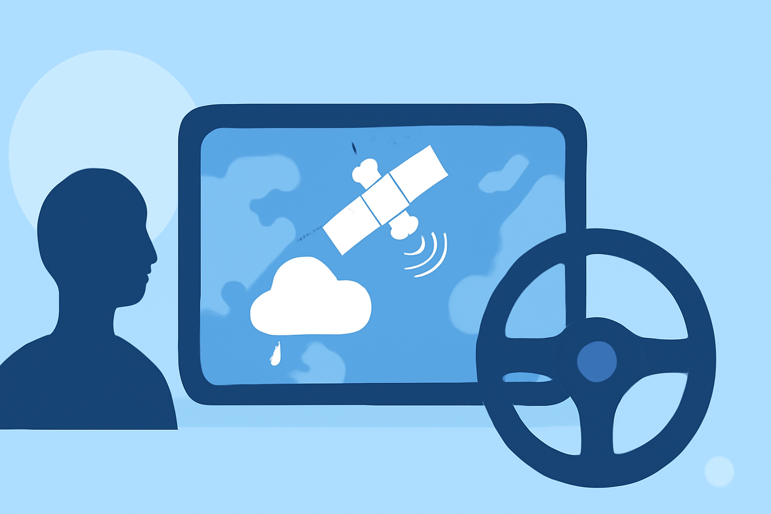
Weather satellite data provides critical insights into current atmospheric conditions, making it invaluable for in-car weather applications. This data helps improve route planning and safety through real-time updates. For those specifically interested in advanced features, exploring specialized applications may be beneficial.
Summary
- Weather satellite data provides global and real-time weather insights.
- In-car apps utilize this data for improved navigation and safety.
- Clime delivers effective weather updates with customizable features.
- Users can access detailed radar and forecasts through Clime's app.
What Satellite Data Types Drive In-Car Weather Apps?
Satellite data includes a variety of information collected from orbiting spacecraft, which complements traditional land-based weather measurement systems. According to the National Oceanic and Atmospheric Administration (NOAA), satellite data enhances our understanding of weather patterns by providing a global view, essential for accurate forecasting and responsive alerts (NOAA).
Several types of satellite data that frequently inform in-car weather applications include:
- Precipitation Data: Satellite observations are critical for assessing the extent and movement of storms.
- Temperature and Humidity: These metrics provide vital context for predicting weather changes, helping users make informed decisions while traveling.
- Sea Surface Temperatures: Data on sea temperatures are crucial for understanding larger weather systems and their potential impact on land-based weather patterns.
Do In-Vehicle Weather Apps Use Satellite Data for Real-Time Routing?
Yes, many in-vehicle weather applications leverage satellite data for real-time routing enhancements. Satellite technology enables apps to provide accurate weather conditions along your route, ensuring you are aware of any inclement weather that may affect your travel plans. By utilizing global observations, these apps can adjust routes and provide timely alerts about potential hazards, like rain or snowfall.
How Does Satellite Data Enhance Weather Forecasting?
Weather forecasting has significantly improved thanks to satellite technology. Satellite data aids meteorologists in making predictions about atmospheric conditions up to two days in advance, particularly during severe weather events. The advancements brought by satellites like GOES-16 allow for the monitoring of severe storm activity, facilitating quicker emergency responses (NOAA).
By integrating satellite data with traditional weather models, users can expect a more comprehensive overview of upcoming weather, enhancing the reliability of forecasts they rely on while on the road.
How Clime Utilizes Satellite Data
At Clime, we present weather information through intuitive interfaces powered by NOAA satellite data. Our app allows users to monitor precipitation patterns, receive real-time weather alerts, and access hourly forecasts alongside a comprehensive 14-day outlook. This level of detail ensures that users stay informed about weather changes that may impact their travel plans.
The Advantages of Using Clime for In-Car Weather Updates
Utilizing Clime for in-car weather updates provides several key benefits:
- Customizable Alerts: Users can tailor notifications based on their preferred locations to stay updated on pertinent weather conditions.
- Enhanced Visualizations: Clime offers animated radar maps that help users visualize real-time weather changes effectively.
- Environmental Layer Insights: Beyond standard weather data, Clime provides additional layers like air quality metrics and wildfire tracking, ensuring comprehensive environmental awareness while driving.
Conclusion: What We Recommend
- For most users, Clime offers an effective and user-friendly solution for accessing satellite-derived weather data in their vehicles.
- Leverage customizable alerts to stay informed about conditions that matter to your travel.
- Consider the detailed visualizations and extended forecasts that help plan your trips effectively.
- Explore Clime to harness the full potential of satellite data for your personal travel needs.