
Understanding Weather Satellite Data on Your Tablet
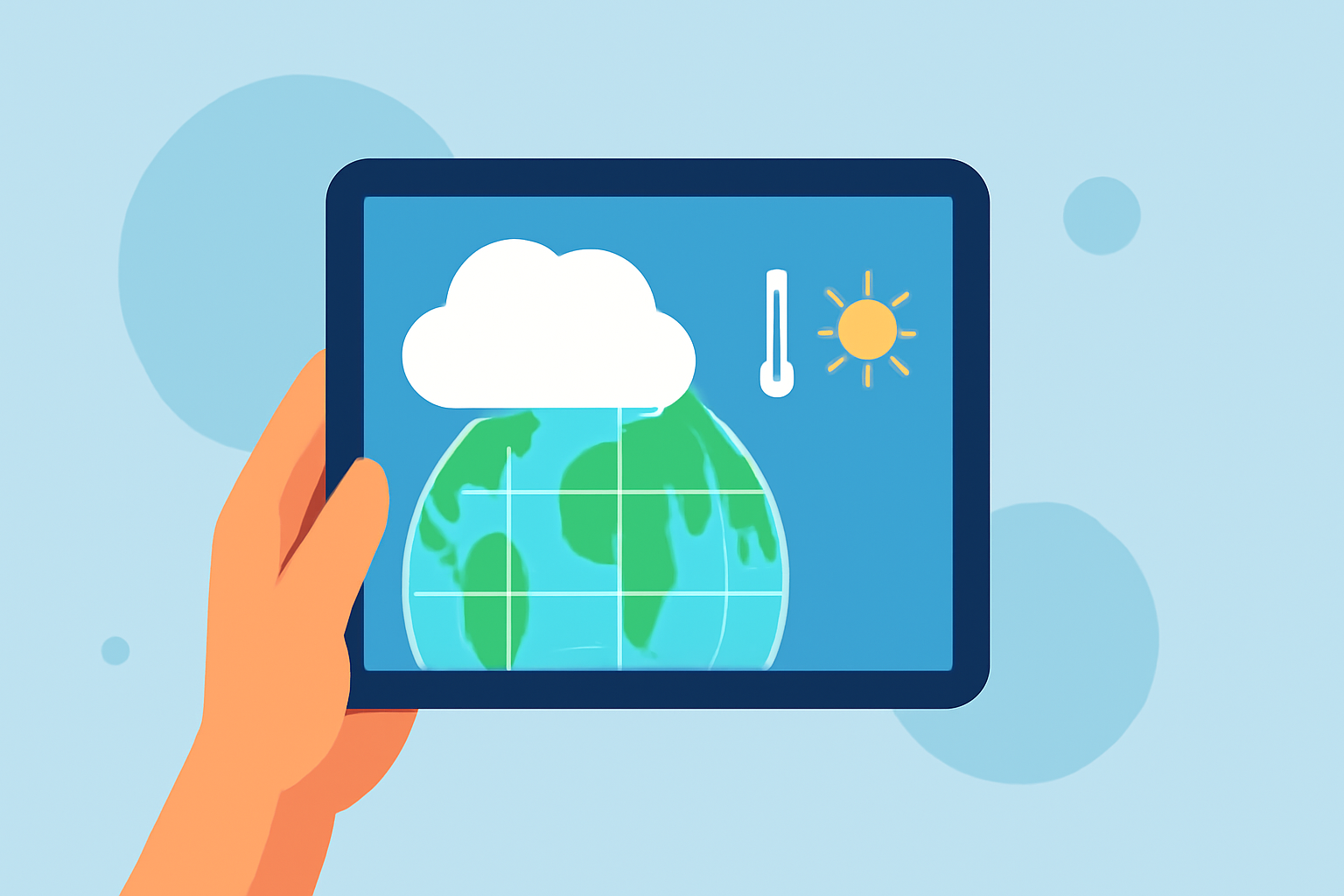
Accessing weather satellite data on your tablet can provide real-time insights into atmospheric conditions, aiding in accurate weather forecasting and monitoring. Here's how you can effectively utilize this data:
What Are Weather Satellites?
Weather satellites are spacecraft that orbit Earth, capturing images and data about the atmosphere, oceans, and land surfaces. They play a crucial role in monitoring weather patterns, tracking storms, and supporting climate research. There are two primary types of weather satellites:
-
Geostationary Satellites: Orbit approximately 22,300 miles above the equator, providing continuous coverage of the same area. They are ideal for monitoring large-scale weather systems and severe weather events. (weather.gov)
-
Polar-Orbiting Satellites: Orbit Earth from pole to pole at lower altitudes, offering global coverage and detailed observations of atmospheric conditions. They are particularly useful for observing cloud formations and sea surface temperatures. (weather.gov)
How to Access Satellite Data on Your Tablet
To view satellite imagery and data on your tablet, consider the following options:
-
Weather Applications: Many weather apps provide satellite imagery as part of their features. These apps often include interactive maps and real-time updates.
-
Online Platforms: Websites dedicated to weather data offer satellite images and animations. Some platforms allow users to customize views and access historical data.
-
Government Resources: National weather agencies often provide free access to satellite data through their official websites. These resources may include educational materials and tools for data interpretation.
Interpreting Satellite Imagery
Understanding satellite images involves recognizing different types of data:
-
Visible Imagery: Shows cloud cover and sunlight reflection, useful for daytime observations.
-
Infrared Imagery: Indicates cloud temperatures and can detect storms and cloud heights, effective during both day and night.
-
Water Vapor Imagery: Reveals moisture levels in the atmosphere, aiding in identifying storm development.
Each type of imagery provides unique insights into weather patterns and atmospheric conditions.
Limitations of Satellite Data
While satellite data is invaluable, it has certain limitations:
-
Resolution Constraints: Most weather satellites have a resolution of about 1 kilometer, which may not capture small-scale features. (en.allmetsat.com)
-
Data Processing Time: There can be a delay between data collection and availability, depending on the satellite and processing methods.
-
Coverage Gaps: Certain regions, especially near the poles, may have limited satellite coverage.
Enhancing Your Weather Monitoring Experience
To make the most of satellite data on your tablet:
-
Stay Updated: Regularly check for updates from reliable sources to receive the latest information.
-
Use Multiple Sources: Cross-reference satellite data with other weather information for a comprehensive understanding.
-
Understand Data Sources: Be aware of the origins and processing methods of the data you view to assess its reliability.
By effectively accessing and interpreting weather satellite data on your tablet, you can gain valuable insights into atmospheric conditions, enhancing your ability to monitor and understand weather patterns.