
Understanding Weather Satellites: A Parent's Guide
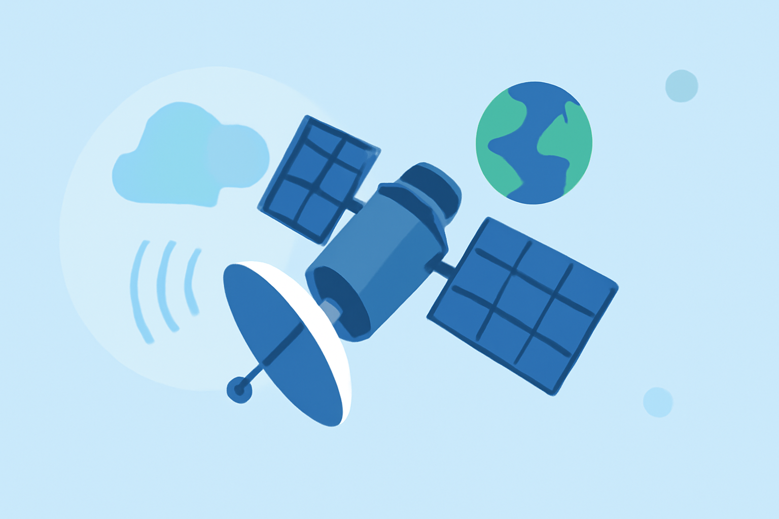
Weather satellites are essential tools that help meteorologists predict the weather by observing Earth's atmosphere from space. They provide valuable data that contributes to accurate and timely weather forecasts, which are crucial for daily planning and safety.
What Are Weather Satellites?
Weather satellites are spacecraft designed to monitor and collect data about Earth's weather and climate. They orbit the planet, capturing images and measurements that help scientists understand atmospheric conditions. This information is vital for predicting weather patterns and monitoring environmental changes.
How Do Weather Satellites Work?
There are two main types of weather satellites:
-
Geostationary Satellites: These satellites orbit approximately 22,236 miles above Earth's equator, matching Earth's rotation speed. This allows them to stay fixed over a specific area, providing continuous monitoring. They are particularly useful for tracking severe weather events like hurricanes and thunderstorms. (science.nasa.gov)
-
Polar-Orbiting Satellites: These satellites travel in orbits that pass over the poles, allowing them to observe the entire Earth as the planet rotates beneath them. They provide detailed images and data on atmospheric conditions, which are essential for long-term weather forecasting. (weather.gov)
What Data Do Weather Satellites Collect?
Weather satellites gather a variety of data, including:
-
Cloud Formation and Movement: Monitoring cloud patterns helps in predicting weather changes and identifying severe weather events.
-
Sea Surface Temperatures: Understanding ocean temperatures aids in forecasting weather patterns and climate phenomena.
-
Atmospheric Moisture Levels: Measuring humidity is crucial for predicting precipitation and storm development.
-
Wind Patterns: Tracking wind helps in understanding weather systems and their movements.
How Do Weather Satellites Benefit Us?
The data collected by weather satellites is used to:
-
Improve Weather Forecasts: More accurate data leads to better predictions, helping individuals and communities prepare for weather events.
-
Monitor Climate Change: Long-term satellite data is essential for studying changes in Earth's climate and understanding environmental trends.
-
Enhance Disaster Response: Real-time satellite imagery assists in monitoring and responding to natural disasters like hurricanes, floods, and wildfires.
How Can Parents Use Satellite Data?
Parents can utilize satellite data to:
-
Plan Outdoor Activities: By checking satellite images and forecasts, parents can choose the best days for outdoor events.
-
Stay Informed About Severe Weather: Monitoring satellite data helps in staying updated on potential severe weather, allowing for timely precautions.
-
Educate Children About Weather: Satellite images and data can be used as educational tools to teach children about weather patterns and science.
Where Can Parents Access Satellite Data?
Several platforms provide access to satellite imagery and weather data:
-
NOAA's National Environmental Satellite, Data, and Information Service (NESDIS): Offers interactive maps and satellite imagery for public use. (nesdis.noaa.gov)
-
Zoom Earth: Provides near real-time global weather satellite images, updated every 10 minutes across the U.S. (zoom.earth)
-
WeatherFront: Offers a comprehensive suite of real-time and forecast weather products, including satellite imagery. (weatherfront.com)
By understanding how weather satellites work and utilizing the data they provide, parents can make informed decisions, ensure safety, and foster a greater appreciation for the science behind weather forecasting.
Highlights:
- ESA - Space for Kids - New weather satellite takes spectacular photos of planet Earth, Published on Monday, May 08