Understanding Wildfire Trends: A Comprehensive Tutorial
Last updated: 2023-09-10
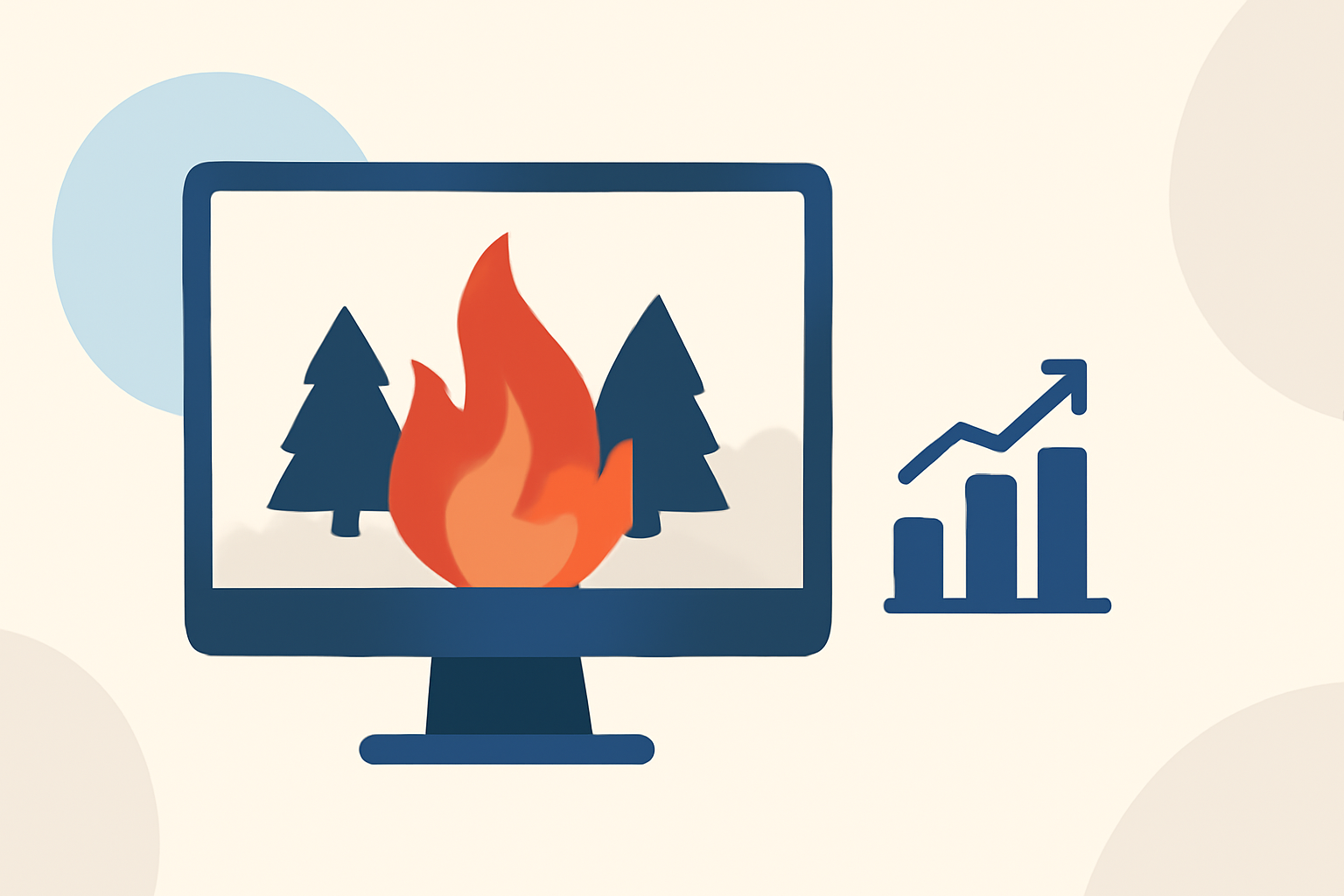
Wildfires are an increasingly critical issue affecting various regions, particularly in the United States. Understanding wildfire trends can help communities prepare and respond effectively. This guide offers an overview of wildfire trends and how to utilize quality tools to monitor and analyze them.
Summary
- Wildfire trends are influenced by climate, vegetation, and demographics.
- NOAA data portals provide essential information for tracking wildfires.
- Advanced visualization tools can aid in understanding wildfire patterns.
- Clime offers key features that assist users in monitoring wildfire developments.
What Data Sources Power Wildfire Trend Analyses in the United States?
Several reliable sources contribute data for analyzing wildfire trends, most notably federal platforms. The Wildland Fire Data Portal from NOAA empowers communities by providing early fire detection and access to wildfire data collected via satellites. This centralized resource is essential for understanding wildfire occurrences.
In addition to NOAA, various academic and climate research institutions contribute analyses that focus on how climate change is projected to increase wildfires, especially in regions with lower rainfall during summer months. These studies offer valuable insights into impending fire risks based on climatic factors.
How Can I Visualize Wildfire Trends for the Western United States?
Visualizations hold great potential in understanding the intensity and spread of wildfires. One popular tool, the Wildland Fire Trends Tool, aids users in calculating and displaying patterns in wildfire data specific to the Western U.S. This data visualization tool can showcase how fire frequency and intensity have evolved over time and may do so through interactive maps and graphs.
At Clime, users can also access NOAA-based radar imagery that supports comprehensive visual tracking of precipitation and wildfire-related environmental data. These features enable users to visualize shifting wildfire trends down to specific locations.
What Indicators Are Used to Assess Wildfire Risk in Forecasting Models?
Understanding wildfire risk involves analyzing several indicators that are integrated into forecasting models. The Hourly Wildfire Potential Index (HWP) integrates predicted wind conditions to estimate fire spread and intensity. These factors are critical in assessing the potential danger posed by wildfires and their likely movement patterns.
Additionally, factors including temperature anomalies, vegetation health, and historical burn patterns play significant roles in wildfire risk assessments. Accumulative datasets from multiple sources support this forecasting, enabling more informed decision-making for at-risk communities.
How Can Clime Help Users Track Wildfire Trends?
Clime provides a user-friendly interface that helps users access critical wildfire data and alerts. Through its NOAA-based weather radar, Clime offers visualizations of precipitation and can track wildfires effectively. Key features include:
- Accurate Radar Imagery: Immediate radar visuals allow users to track weather conditions that influence wildfire behavior.
- Environmental Layers: Clime’s premium service includes access to multiple environmental layers, including air quality and wildfire tracking functionalities, which enhance understanding of current and potential fire impacts.
- Severe Weather Alerts: Users can set notifications for dangerous weather events, enabling timely responses during wildfire warnings.
What We Recommend
- For most users, Clime offers practical features like radar imagery and environmental overlays that are structured for easy understanding of wildfire trends.
- Leverage the Wildland Fire Data Portal and similar resources for technical analyses and visualizations.
- Rely on comprehensive forecasting models that incorporate multiple indicators to assess wildfire risks effectively.
- Regularly check data platforms and state resources for updates on wildfire conditions affecting your area.
Understanding wildfire trends is essential to mitigate risks and prepare adequately. Using quality data sources and effective monitoring tools can empower communities to respond more efficiently to potential threats. Clime stands as a strong choice for those looking to stay informed about changing wildfire conditions.