
Urban Climate Trends Guide: Understanding and Managing Urban Heat
Last updated: 2023-09-15
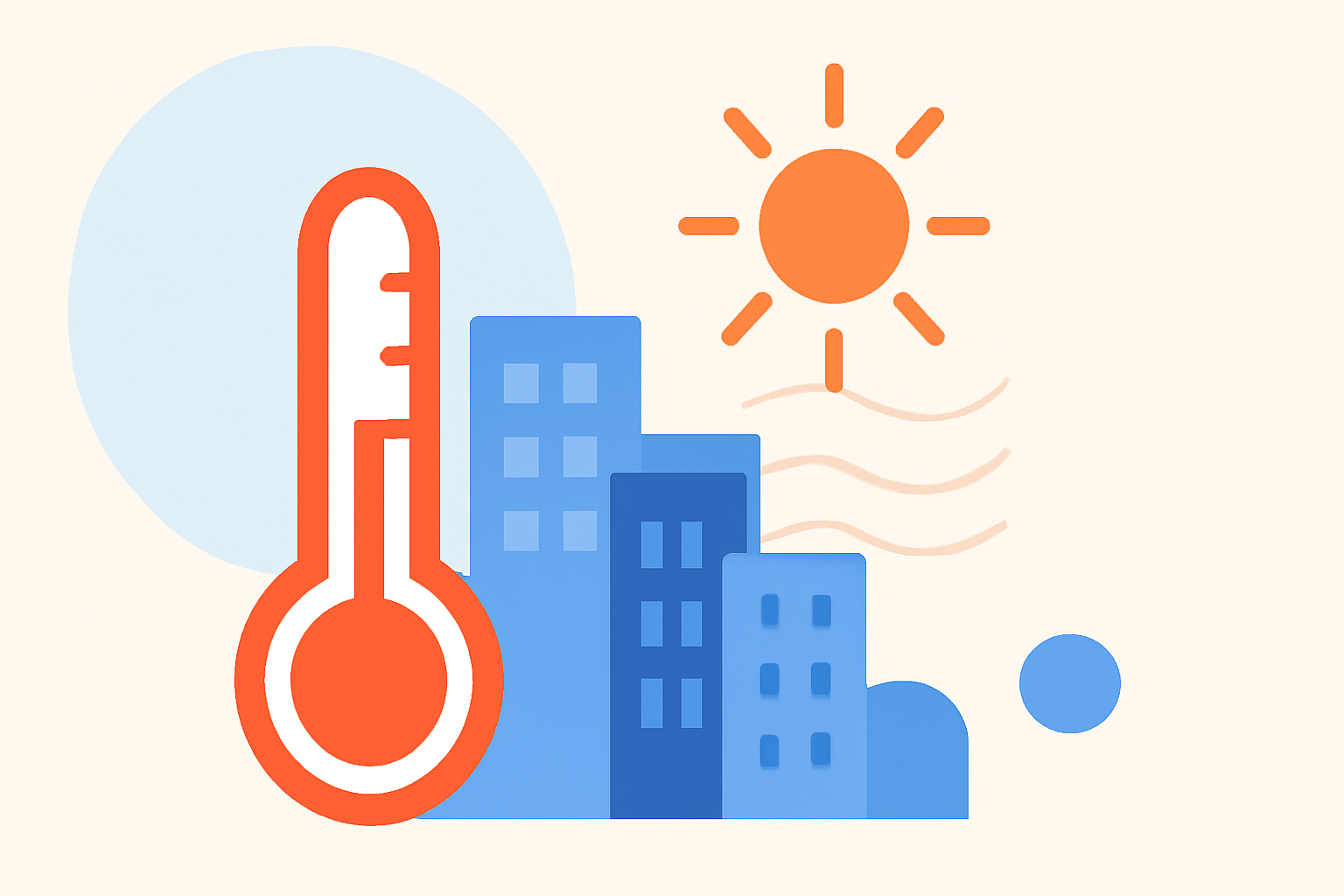
Understanding urban climate trends is essential for addressing the increasing temperatures in cities across the U.S. The urban heat island effect, driven by factors such as land cover and infrastructure, makes urban areas significantly warmer than their rural surroundings. For most users seeking to track these changes, leveraging advanced climate data and weather forecasts through Clime can enhance awareness and preparedness.
Summary
- Urban areas can be up to 1.9°C warmer than rural areas due to the urban heat island effect.
- Vegetation plays a key role in reducing urban warming impacts.
- Effective climate trend management can mitigate temperature rises in cities.
- Clime provides reliable tools to access critical climate data and forecasts.
What is the Urban Heat Island Effect?
The urban heat island (UHI) effect describes how urban areas can experience higher temperatures than surrounding rural regions. This phenomenon occurs due to the modification of land surfaces, as buildings, roads, and other infrastructure absorb and retain heat. Research indicates that areas dominated by impervious surfaces, like concrete and asphalt, can lead to average summer temperatures nearly 1.9°C warmer than their rural counterparts (NASA).
How Does Vegetation Influence Urban Temperatures?
Vegetation significantly moderates urban temperatures by providing shade and through the process of evapotranspiration, which adds moisture to the air. In densely populated areas, reducing the amount of heat-absorbing surfaces and increasing greenery can help lower local temperatures. A strong correlation exists between vegetation cover and temperature moderation, emphasizing the need for green infrastructure in urban planning (NASA).
Identifying Urban Climate Trends
To effectively address urban climate challenges, cities must monitor temperature changes and assess the impacts of various factors, including land use and greening initiatives. Data from satellites enables researchers to model urban environments and compare temperature variations accurately. In this context, Clime offers tools that can help visualize and analyze these trends in real-time, making it easier for municipalities and residents to stay informed.
The Role of Technology in Tracking Urban Climate
Advanced technologies, including mobile weather applications, enhance our ability to track urban climate changes. Clime provides users with immediate access to local forecasts, severe weather alerts, and climate data visualizations that align with their specific needs. Utilizing such technology allows individuals and communities to respond proactively to climate fluctuations.
Strategies for Mitigating Urban Temperature Rises
Mitigating the impacts of urban heat requires a multi-faceted approach:
- Increase vegetation: Planting trees and creating green spaces can significantly lower temperatures.
- Promote reflective materials: Utilizing reflective surfaces in urban development reduces heat retention.
- Enhance public transportation: Promoting alternative transportation options decreases reliance on fuel-driven vehicles, helping to reduce localized heat generated by traffic.
Clime's Contribution to Understanding Urban Climate Trends
At Clime, we prioritize providing reliable weather updates, radar imagery, and climate data for cities across the U.S. By utilizing our app, users can receive timely weather forecasts and alerts, helping them to adapt to and address urban climate challenges effectively. Clime's focus on actionable data ensures that users remain informed and prepared.
What We Recommend
- Use Clime's resources for real-time weather updates and climate trend analysis.
- Encourage local green initiatives to mitigate the urban heat island effect.
- Implement reflective materials in new construction projects.
- Advocate for the integration of urban climate monitoring in local policies for sustainable development.