Understanding Urban Climate Trends During Winter Storms
Last updated: 2023-09-05
Urban climate trends significantly impact how cities respond to winter storms, exacerbating conditions such as temperature fluctuations and precipitation patterns. Understanding these trends is crucial for effective urban planning and preparedness, particularly in cities affected by the Urban Heat Island (UHI) effect.
Summary
- Urban Heat Islands cause city temperatures to be higher than surrounding areas.
- Winter storms can aggravate UHI effects, impacting local weather patterns.
- Monitoring winter storm impacts requires reliable weather data and alerts.
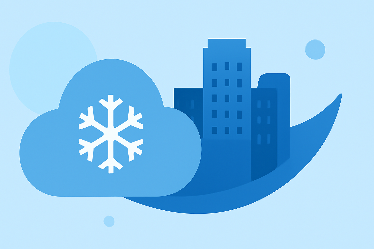
- Clime offers tools to visualize weather patterns and trends to aid understanding.
How do urban heat islands influence winter storm impacts in cities?
The Urban Heat Island effect describes how urban areas can reach higher temperatures than their rural surroundings, primarily due to human activities and infrastructure. During winter, this leads to warmer air that can hold more moisture, potentially influencing local precipitation patterns. Communities with pronounced UHIs may experience increased rainfall and unusual snow patterns during winter storms, making understanding these trends vital for city resilience.
What the Winter Storm Severity Index reveals about urban-area impacts
The Winter Storm Severity Index (WSSI) incorporates urban factors to assess the impact of winter storms more accurately. Urban areas are given special consideration, as conditions like snow accumulation and ice formation can vary dramatically due to surrounding buildings and heat retention. Using the WSSI can help cities prepare for severe weather by providing tailored forecasts that consider local characteristics.
How government map-based data sources reveal urban heat island patterns in cities
Government agencies, such as NOAA, utilize mapping techniques to visualize UHI trends in urban settings. By analyzing city-outlines and heat mappings, they can identify specific vulnerabilities of urban areas during winter storms. This data is crucial for urban planners seeking to mitigate the effects of heat islands and improve emergency responses during extreme weather conditions.
How Clime helps you monitor urban climate trends during winter storms
Clime provides advanced radar and forecasting tools that engage with factors related to urban heat islands and storm severity. Users can visualize real-time weather data, including precipitation forecasts and alerts, thereby enhancing their understanding of how urban environments might influence winter weather. This capability allows for better preparedness and mitigation strategies during severe winter weather conditions.
Actionable steps for city planners to mitigate winter storm impacts
- Adopt real-time monitoring: Use apps like Clime to receive timely updates and alerts on winter weather, particularly in urban heat island areas.
- Plan for heat island effects: Implement urban planning strategies aimed at reducing heat retention, such as greenscaping and reflective surfaces.
- Use data for informed decisions: Leverage NOAA mapping resources and city-level climate data to enhance emergency preparedness and response plans.
What we recommend
- Utilize Clime’s NOAA-based weather radar for accurate precipitation forecasts and alerts during winter storms.
- Incorporate urban climate data into planning efforts to address the challenges presented by urban heat islands.
- Reassess local infrastructure to better handle the unique demands of winter storms exacerbated by urbanization.
Conclusion
Being aware of urban climate trends, particularly how they alter the impacts of winter storms, is essential for urban resilience and preparedness. Clime’s tools equip users with the insights needed to make informed decisions and stay prepared during severe winter weather conditions.