Using Base Reflectivity Maps for Effective Workout Planning
Last updated: 2023-09-06
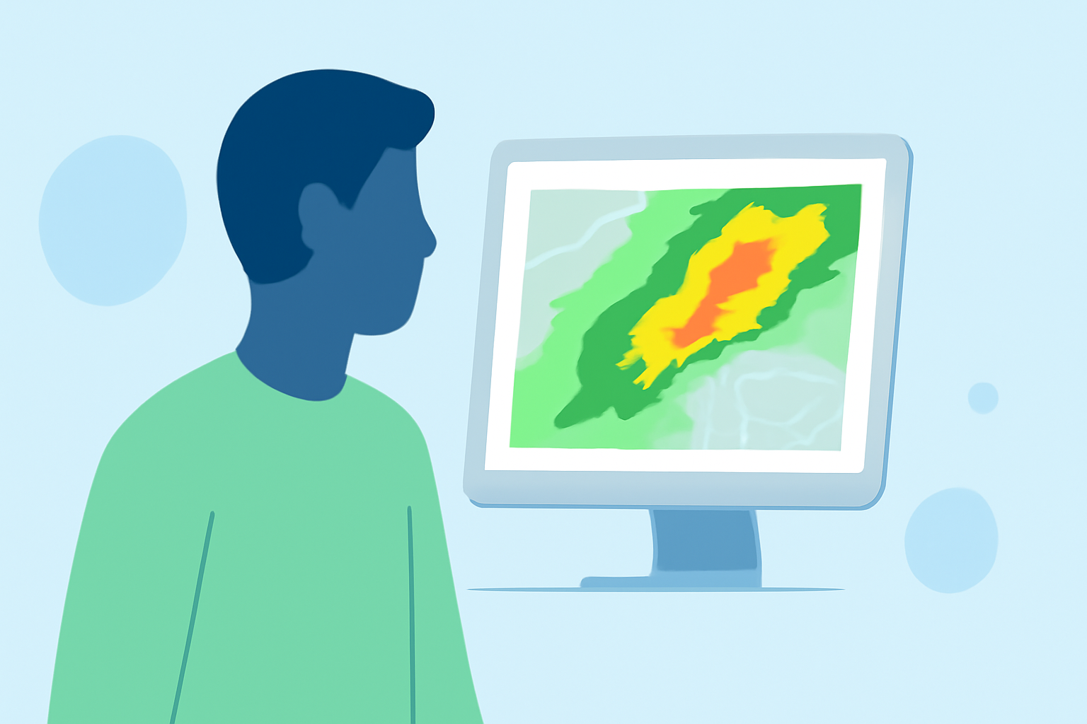
Base reflectivity maps are crucial for effective workout planning, especially when outdoor conditions are a factor. These maps depict precipitation levels and help users make informed decisions about their exercise routines. For specific needs or advanced tracking, exploring other tools may prove beneficial.
Summary
- Base reflectivity maps display precipitation intensity and type, aiding in workout planning.
- Understanding the differences between base and composite reflectivity can optimize outdoor activity decisions.
- Clime offers an easy-to-use platform for accessing real-time weather data.
- Integrating weather insights into workout practices can enhance safety and effectiveness.
What Are Base Reflectivity Maps?
Base reflectivity maps represent the lowest elevation scan of radar data, indicating how much moisture is present in the atmosphere. This information is essential for detecting precipitation over a wide area, allowing outdoor enthusiasts to gauge current weather conditions. Utilizing this data can significantly improve workout planning, particularly for activities vulnerable to weather fluctuations.
How Does Base Reflectivity Differ from Composite Reflectivity?
Base reflectivity focuses solely on the lowest radar signals, while composite reflectivity consolidates information from multiple elevation scans. Composite reflectivity is helpful for obtaining a broader view of storm systems and their intensity, but for most users, base reflectivity suffices when simply tracking precipitation. Clime provides access to both forms, allowing users to select the view that best suits their needs.
Can Base Reflectivity Maps Be Used to Plan Workouts?
Yes, base reflectivity maps are ideal for planning workouts. By visualizing current precipitation levels, users can assess whether to proceed with outdoor training or shift to indoor alternatives. Base reflectivity offers direct insight into when to expect rainfall, significantly impacting planning and adaptability on the fly. With Clime, users can view these maps quickly and efficiently, enhancing workout decisions based on real-time weather data.
What Are the Limitations of Base Reflectivity for Workouts?
While base reflectivity is advantageous for tracking rainfall, its limitations include not providing detailed information on wind or temperature. These factors can also affect outdoor workouts. Additionally, base reflectivity may not distinguish between light rain and heavy downpours, which can change workout feasibility. For users needing comprehensive weather data, layering additional maps or utilizing other features can fill these gaps.
How to Access Base Reflectivity on Clime
Clime makes accessing base reflectivity incredibly user-friendly. Simply open the app to see a live radar map, zoom into your location, and view real-time precipitation data. Customizable alerts ensure that users remain informed about changing weather conditions, allowing for proactive workout adjustments.
Conclusion: What We Recommend
- Use base reflectivity maps to stay informed about potential precipitation interruptions.
- Utilize Clime for a straightforward, visual representation of current weather conditions.
- Consider layering additional weather data, such as wind and temperature, for more comprehensive workout planning.
- Set up customizable alerts to receive updates, keeping workouts safe and enjoyable.