
An Introduction to Viewing Weather Satellite Data on Your Tablet
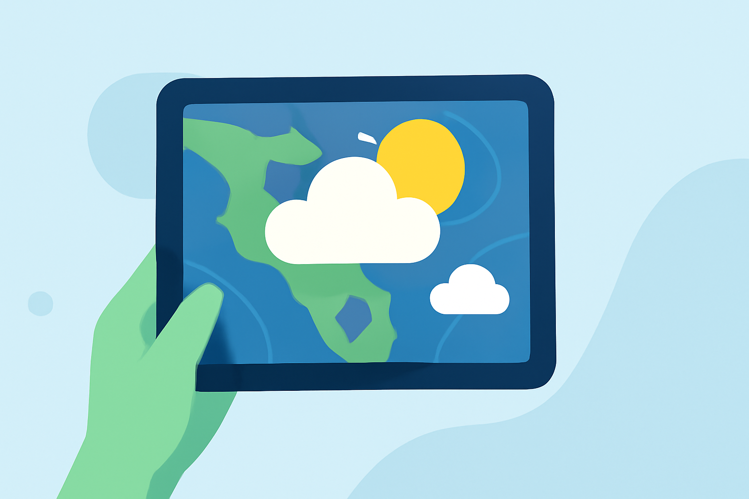
Accessing real-time weather satellite data on your tablet allows you to monitor global weather patterns, track storms, and stay informed about atmospheric conditions. This capability is particularly valuable for enthusiasts, professionals, and anyone interested in understanding the dynamics of our planet's weather systems.
What Is Weather Satellite Data?
Weather satellites capture images and data of Earth's atmosphere, oceans, and land surfaces. These observations provide insights into cloud formations, temperature variations, storm developments, and other meteorological phenomena. The data is typically presented in various spectral channels, such as visible, infrared, and water vapor, each offering unique perspectives on weather conditions.
How Can I Access Weather Satellite Data on My Tablet?
Several applications enable users to view and interact with weather satellite imagery directly on tablets. These apps offer features like real-time updates, interactive maps, and customizable layers to enhance the user experience.
What Are Some Notable Apps for Viewing Weather Satellite Data?
While there are various applications available, it's essential to choose one that aligns with your specific needs and preferences. When selecting an app, consider factors such as update frequency, user interface design, and the range of features offered.
How Do I Interpret Satellite Imagery?
Interpreting satellite imagery involves understanding the different spectral channels and what they represent. For instance, infrared images can indicate cloud temperatures and heights, while water vapor images reveal moisture levels in the atmosphere. Familiarizing yourself with these channels can enhance your ability to analyze weather patterns effectively.
What Are the Benefits of Using Satellite Data on a Tablet?
- Portability: Access weather information anywhere, anytime.
- Real-Time Updates: Stay informed with the latest weather developments.
- Interactive Features: Engage with dynamic maps and customizable layers.
- Educational Value: Deepen your understanding of meteorological processes.
By leveraging tablet applications to view weather satellite data, you can gain a comprehensive and interactive understanding of global weather patterns, enhancing both your knowledge and preparedness.