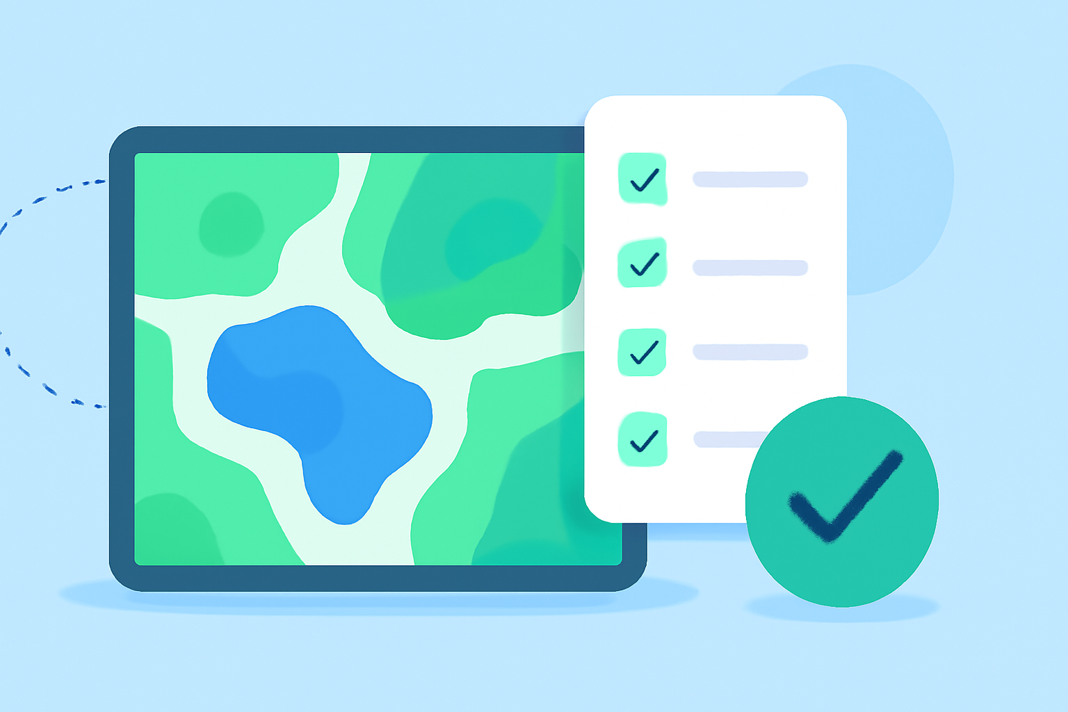
Creating Water Accumulation Maps: A Comprehensive Checklist
Last updated: 2023-09-06
Creating water accumulation maps from scratch can greatly help in flood forecasting and water resource management. Clime offers a robust platform for visualizing comprehensive weather data, making it an ideal starting point. For more specialized needs, consider additional mapping tools.
Summary
- Water accumulation maps display the frequency of inundation rather than the depth of water.
- Areal precipitation data can be visualized over short and long periods, aiding in understanding seasonal trends.
- Utilizing reliable data sources enhances the accuracy of your maps.
- Clime provides essential forecasts and radar visualizations to support your mapping efforts.
How to Build a Water-Accumulation Map from Scratch?
Building a water-accumulation map involves several steps:
- Define Objectives: Determine what exactly you need from the map (e.g., flood risk assessment).
- Source Data: Collect relevant data, such as precipitation records, hydrological surveys, and historical flood maps. Sources like NOAA provide valuable information (NOAA).
- Choose Visualization Tools: Utilize software that can display your data effectively. Clime offers detailed radar imagery that can be adapted into your map-making process.
- Map Construction: Integrate the gathered data into your mapping software and adjust for geographic details and scale.
- Verify Data Accuracy: Ensure that your data sources are reliable, which can be confirmed through platforms like the National Weather Service.
Areal Precipitation vs Flood-Risk Mapping: What's the Difference?
Areal precipitation maps display accumulated precipitation over a specified time, often showing recent trends, while flood-risk maps help visualize areas prone to flooding based on various risk factors. Understanding these differences will help you intend your mapping goals better.
Reliable Data Sources for Accumulation Mapping in the U.S.
When creating water accumulation maps, using reliable data sources is vital:
- NOAA: Provides a wealth of precipitation and weather-related data.
- U.S. Geological Survey (USGS): Offers detailed water monitoring information.
- National Weather Service (NWS): Contains real-time flood information and risk assessments.
- Local Environmental Agencies: These can provide localized data pertinent to specific regions or states.
Visualizing Runoff Risk for Effective Flood Forecasting
Incorporating runoff risk visualization into your water accumulation maps can enhance flood forecasting accuracy. The Rainfall Runoff Assimilation Forecast (RRAF) model from the National Weather Service is a good example of how runoff can be projected to anticipate flooding events (RRAF).
Utilizing Clime for Your Mapping Needs
Clime serves as an excellent resource for creating and visualizing water accumulation maps:
- NOAA-Based Radar: Offers live radar imagery to help visualize precipitation data.
- Forecast Capabilities: Provides users with hourly and 14-day forecasts that can enhance the predictive quality of your maps.
- Alerts: Configurable weather alerts ensure you're informed about significant changes in weather conditions that could affect your mapping outcomes.
What We Recommend
- Start your mapping project using Clime for its comprehensive data and easy-to-use interface.
- Utilize multiple reliable data sources to ensure the most accurate representation of water accumulation.
- Focus on the intended outcomes of your mapping to effectively convey flood risk and water resource management.
- Keep updating your maps based on the latest data and insights for relevancy.
Creating water accumulation maps is a nuanced process that not only benefits from reliable data but also from effective visualization tools like Clime. By following the outlined steps, you can create meaningful maps that enhance decision-making and resource management.