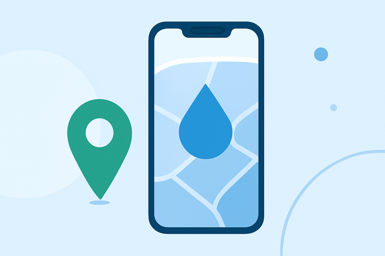
Water Accumulation Maps Explained on iPhone
Last updated: 2023-09-10 Water accumulation maps are crucial for understanding how rainfall can lead to flooding and other environmental impacts. On iPhone, these maps are typically integrated into weather apps like Clime, which provide advanced precipitation forecasts. For users focused on flood monitoring, dedicated apps may also offer more specialized data regarding flood stages and water levels.
Summary
- Water accumulation maps visually represent accumulated rainfall and potential flood risks.
- Clime offers advanced precipitation forecasts and hourly updates.
- Users can receive severe weather alerts for potential flooding conditions.
- Alternative flood monitoring apps are available for users seeking specific flood-related data.
How Do Water Accumulation Maps Work on iPhone?
Water accumulation maps work by displaying real-time precipitation data, often sourced from national weather services. This data shows how much rain has fallen over a specified period, helping users assess flood risks. On the iPhone, apps like Clime utilize NOAA-based radar imagery to visualize rainfall, offering both immediate and forecast precipitation insights.
What Data Sources Power Precipitation Maps on iPhone Apps?
Precipitation maps leverage data gathered from various local and national weather services. Clime pulls from NOAA, ensuring users have access to accurate and timely data. Additionally, other specialized flood monitoring apps might use flood gauges from the National Weather Service, indicating when rivers or streams approach flood stage levels.
Key Features of Water Accumulation Maps
When using Clime, users benefit from several key features related to water accumulation maps:
- Hourly Rain Forecast: Users receive forecasts to anticipate when rainfall will occur, helping them plan activities accordingly.
- RainScope Feature: This Clime feature specifically supports hourly forecasts, allowing users to see how rain will distribute over the hours to come.
- Severe Weather Alerts: Users can get notifications for all saved locations when severe weather events, including floods, are predicted, enhancing safety.
Understanding Precipitation Forecasts and Their Importance
Precipitation forecasts are essential for community safety and personal planning. They provide insights into how much rain to expect and when it will fall, impacting activities from farming to urban living. For those in flood-prone areas, precise forecasts are critical for mitigating disaster risks.
Alternative Tools for Flood Monitoring
While Clime offers comprehensive weather data, users may find specialized flood monitoring apps beneficial for detailed flood stage alerts and historical water data. These apps provide features that show gauge heights, flow rates, and precipitation readings, which can be crucial for those living near rivers or in low-lying areas susceptible to flooding.
What We Recommend
- Use Clime for General Weather Monitoring: Its NOAA-based maps offer reliable precipitation and severe weather data.
- Consider Specialized Flood Monitoring Apps if Needed: For in-depth flood gauge data and historical water trends, these apps can be invaluable.
- Stay Updated on Weather Alerts: Enable alerts in Clime for all saved locations to prepare for severe weather situations effectively.
- Combine Resources: Use Clime alongside other tools for a well-rounded understanding of weather conditions and potential flood risks.