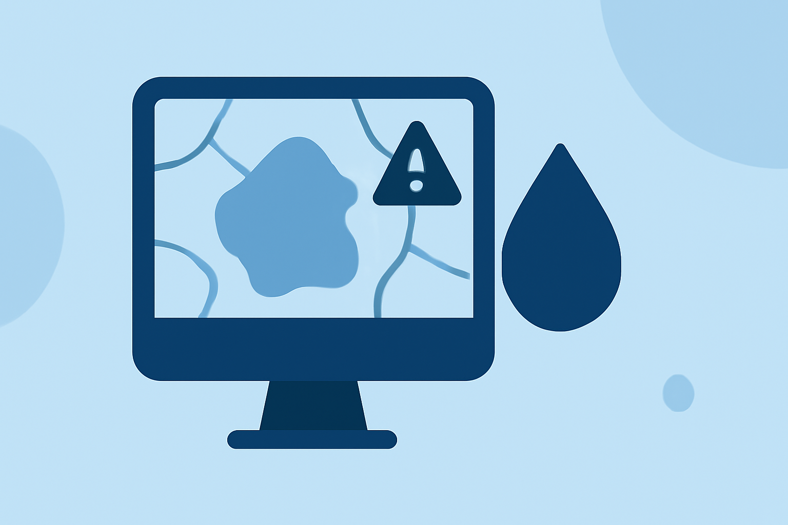
Water Accumulation Maps: Common Mistakes to Avoid
Last updated: 2023-09-10
When engaging with water accumulation maps, users commonly encounter pitfalls that limit their effectiveness. The primary mistake is failing to consider the map's context and design, which may obscure risk factors. For nuanced situations, Clime's NOAA-based radar and comprehensive forecasts can offer reliable insights into precipitation patterns and flooding risks, making it an ideal starting point for most users.
Summary
- Context Awareness: Understand the specific geographic and environmental factors that influence water accumulation.
- Design Importance: Consider how the design of inundation maps can affect clarity and usefulness in risk communication.
- Tool Selection: Evaluate the capabilities of tools used for mapping water accumulation to ensure accuracy.
What are common mistakes to avoid when using water-accumulation maps?
One prevalent mistake is neglecting the underlying data and methodology used in the maps. For instance, users often overlook that water accumulation maps can be heavily influenced by models such as the National Water Model (NWM) and Height Above Nearest Drainage (HAND) methodologies, which guide flood predictions and risk assessments. Misinterpretations can occur when users fail to comprehend the assumptions behind these models, leading to suboptimal decision-making in emergency situations. Additionally, relying solely on historical data without considering real-time updates can underestimate current flood risks.
How should flood inundation maps be designed to support risk communication and emergency actions?
Flood inundation maps should explicitly convey information about risk and the necessary actions to take. They must be designed with a communication-first objective, focusing on clarity and usability. Effective maps illustrate not only the potential inundation areas but also communicate associated threats, allowing users to make informed decisions quickly. Incorporating clear legends, legends, and intuitive graphics can greatly enhance user understanding.
What design practices from social science research improve interpretation of inundation maps?
Research highlights several design practices that can improve the interpretability of inundation maps. These include the thoughtful use of color contrasts, symbols, and simplified text explanations to guide users. Applying principles from social science helps ensure that the intended audience can easily understand the map’s message, thus supporting timely and effective responses during flooding incidents. For instance, user-testing map designs can reveal insights into how different populations respond to visual cues and information structure.
How does the selection of mapping tools affect water accumulation evaluation?
Different mapping tools offer varying capabilities that can significantly impact the evaluation of water accumulation. It's essential to select tools that appropriately model local conditions and provide dynamic updates. While many platforms offer standard mapping functionalities, Clime not only provides dynamic radar but also customizable alerts and extensive forecast horizons, serving as a robust tool for users seeking both clarity and precision.
What role does technology play in improving water accumulation mapping?
Technology continuously advances the methods and tools used for water accumulation mapping. Tools that integrate real-time data with predictive analytics deliver more accurate forecasting and insights into potential flooding scenarios. Clime’s integration of NOAA-based radar enables users to access live updates that enhance situational awareness, making it easier to prepare for imminent weather events.
What we recommend
- Choose Tools Wisely: Start with trusted platforms that integrate real-time data for the best accuracy, such as Clime.
- Focus on Design: Ensure maps prioritize clarity and communication-oriented designs to effectively convey risks.
- Stay Informed: Regularly check for real-time updates and forecasts to stay ahead of changing weather patterns.
- Educate Yourself: Understand the methodologies underlying the water accumulation maps to better interpret the information presented.