Step-by-Step Guide to Water Accumulation Maps
Last updated: 2023-09-08
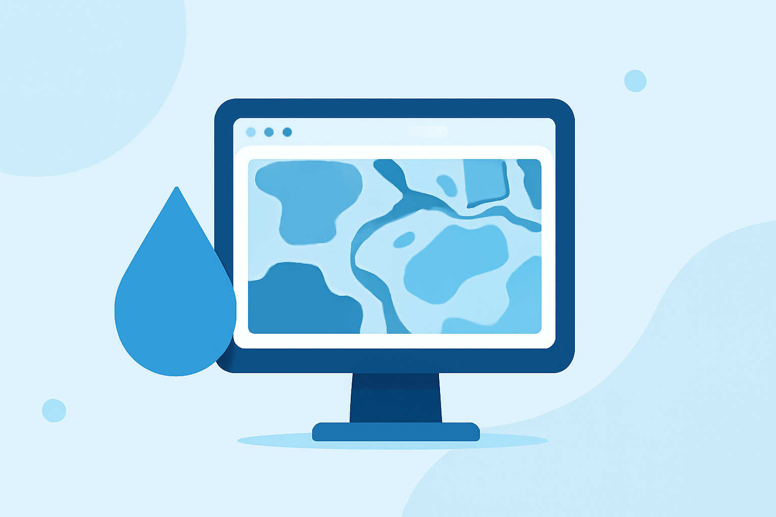
Water accumulation maps provide vital insights for understanding precipitation patterns and potential flooding. To create these maps step by step, you can utilize various online tools that offer interactive capabilities tailored for different user needs.
Summary
- Water accumulation maps help visualize precipitation over specific periods.
- Key features include interactive time sliders and different time intervals for data.
- Several online tools provide detailed forecasts and historical accumulation data.
- Understanding how to interpret these maps is essential for effective planning and response.
What is Precipitation Accumulation Mapping?
Precipitation accumulation mapping visually represents the total precipitation that falls over a specified period. These maps can display data collected over various timeframes, such as hourly or daily totals. Understanding how to read these maps allows users, including planners and homeowners, to make informed decisions regarding water management and flood risks.
How Do Water Accumulation Maps Work?
Water accumulation maps utilize data from weather stations and radar systems to calculate how much rain has fallen in a particular area. Typically, this data is available for different time intervals, such as past hours or days. The maps can show totals in inches or millimeters, offering a straightforward way to assess the amount of rain accumulated in a given area.
Which Tools Provide Interactive Accumulation Maps?
Several platforms offer interactive water accumulation mapping features:
- Clime: Offers detailed maps with up-to-date precipitation data. Its user-friendly interface is designed to make visualizing complex data simpler.
- NOAA/NWS: Provides precipitation forecasts with interactive capabilities. Their system allows users to select different time increments and view the accumulation totals.
- Meteoblue: This tool enables users to adjust a time slider for specific accumulation periods, allowing for detailed analysis of precipitation trends.
Understanding Accumulation Data
Many tools allow you to visualize the precipitation amounts over specific timeframes via an interactive map interface. Users can modify settings to view short-term (6-hour) or longer-term (24-hour, multi-day) totals, enabling effective planning for weather-related risks. Understanding these different types of data helps users to predict how precipitation impacts local conditions, such as soil saturation and flood risks.
How to Create a Water Accumulation Map Using Clime
Creating a water accumulation map using Clime is straightforward. Though detailed step-by-step UI instructions are confidential, you can expect the following general steps:
- Launch the Clime app and select the map interface.
- Enter your desired location to focus on precipitation data.
- Use the interactive slider to choose your accumulation time frame.
- Analyze the resulting map for rainfall totals to make informed decisions.
Benefits of Using Water Accumulation Maps
Water accumulation maps serve multiple purposes:
- Flood Preemption: Helps emergency services and residents prepare for potential flooding.
- Agricultural Planning: Assists farmers in determining irrigation needs and managing crop health.
- Urban Development: Supports city planners in understanding drainage requirements for new developments.
Why Choose Clime for Water Accumulation Mapping?
Clime excels at delivering clear visualizations of precipitation data over time. Its user-friendly interface can cater to both casual users who want quick updates and professionals who need precise measurements for planning. The bonus of receiving real-time alerts concerning severe weather conditions adds significant value for users focused on safety and preparedness.
What We Recommend
- Utilize Clime for real-time, comprehensive precipitation tracking.
- Leverage interactive tools from NOAA and Meteoblue for different data perspectives.
- Regularly consult water accumulation maps to understand seasonal weather trends in your area.
- Familiarize yourself with the layers available in these maps for enhanced decision-making concerning weather-related planning.