Water Accumulation Maps Tutorial: Understanding Precipitation Visualization
Last updated: 2023-09-06
Understanding water accumulation maps is essential for weather enthusiasts and professionals alike. This tutorial will guide you on how to interpret these maps effectively, with the added benefit of using leading tools like Clime for real-time visualization and severe weather alerts.
Summary
- Water accumulation maps show precipitation amount and are essential for understanding weather patterns.
- Clime provides real-time radar and alerts that enhance understanding and response to weather changes.
- Precipitation accumulation data can be viewed over various time frames, essential for planning and safety.
- Official NOAA resources are invaluable for learning about weather maps and data interpretation.
What Are Water Accumulation Maps?
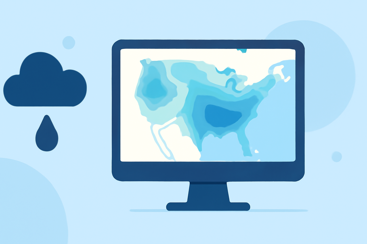
Water accumulation maps display the amount of precipitation—like rain or snow—over a specific area. These maps can show data over various timeframes, helping users understand recent weather conditions as well as forecasts. They typically use colored gradients or shadings to represent different precipitation amounts, making it easier to interpret visually. For those interested in learning how to read these maps, using official resources such as NOAA is crucial, as they provide reliable guidelines and data interpretation methods.
How Do You Read Precipitation Accumulation Maps?
Reading precipitation accumulation maps involves understanding the visual cues presented on the maps:
- Color Gradients: Typically, lighter colors represent lower amounts of precipitation, while darker shades indicate higher accumulation.
- Legends and Scale: Always check the legend for information about what each color represents in terms of inches or millimeters of precipitation.
- Temporal Aspects: Understand that these maps may represent different time spans—such as 24-hour accumulations versus 7-day totals. This distinction is important for planning purposes.
Essential Features of Clime for Water Accumulation Tracking
Clime offers several features that make tracking water accumulation intuitive:
- NOAA-Based Radar: Provides real-time radar imagery to visualize precipitation as it occurs, which can be crucial for immediate weather responses.
- 14-Day Forecasts: Users can view expected precipitation accumulation over a two-week period, allowing for effective planning.
- Severe Weather Alerts: Premium users receive notifications for severe weather conditions, ensuring timely responses to changing weather patterns.
How to Access Precipitation Data with Clime
Accessing water accumulation data on Clime is straightforward:
- Download the App: Available on all major platforms, Clime provides easy access to local weather through its user-friendly interface.
- Settings Configuration: Users should configure their preferred locations and enable notifications to receive alerts effectively.
- Utilize Features: Navigate through the radar options to view live precipitation data, including historical data for analysis.
Additional Educational Resources
For those interested in broadening their understanding of weather maps and precipitation accumulation:
- The NOAA guide on reading weather maps provides fundamental lessons on interpreting weather data.
- The WPC/NCEP resource explains various weather maps, including precipitation areas and amounts.
Conclusion: What We Recommend
- For basic weather tracking and understanding water accumulation maps, Clime is an excellent choice due to its NOAA-based radar and user-friendly interface.
- Regularly refer to official NOAA resources for comprehensive educational guidance on interpreting weather maps.
- Utilize Clime’s features to stay informed and react promptly to changing weather conditions.
- For advanced users, explore time-based accumulation visualization in various official tools to gain deeper insights into weather patterns.