Optimizing Your Water Accumulation Maps Workflow on Wear OS
Last updated: 2023-09-03
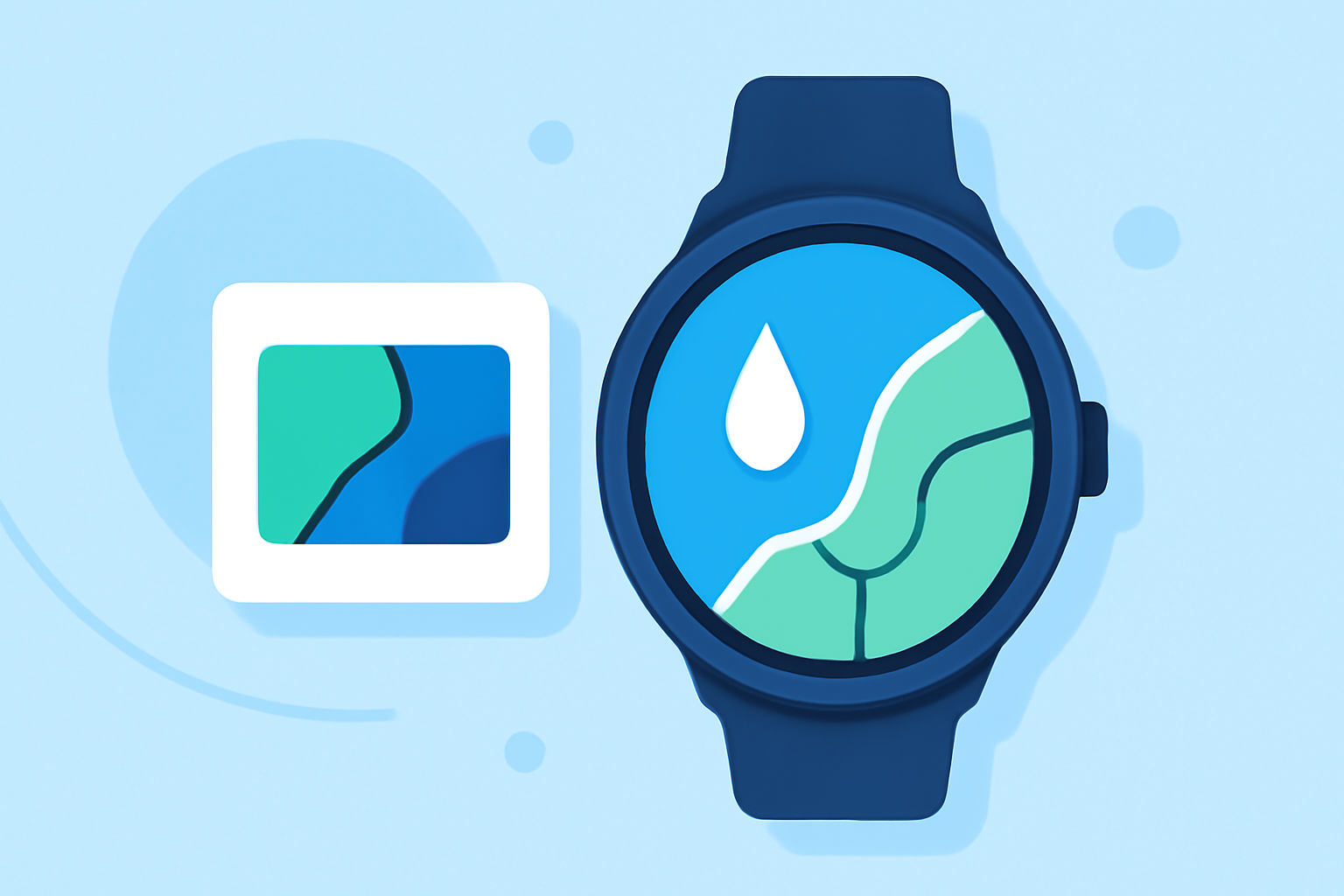
For users interested in water accumulation maps on Wear OS, Clime stands out as an excellent choice for managing precipitation data. This option caters to standard weather workflows, while specialized alternatives may offer niche features depending on specific needs.
Summary
- Clime provides NOAA-based real-time radar and precipitation tracking.
- Water accumulation maps are an essential tool for monitoring weather conditions effectively.
- Wear OS allows easy integration of weather apps to track key data, enhancing user accessibility.
- Some other applications may specialize in features beyond basic weather needs.
How does Wear OS present precipitation data in weather apps?
Wear OS smartwatches enable users to access a wide range of weather information, including precipitation data. With the built-in Weather app, users can view current conditions, 'feels like' temperatures, and essential hourly forecasts. A detailed breakdown often includes TH2 data layers such as precipitation forecasts, air quality indices (AQI), and daily forecasts. This information ensures users remain updated on potential adverse weather conditions, facilitating informed decision-making.
What are common Wear OS weather app setup steps and requirements?
Setting up a weather app on Wear OS typically involves downloading a compatible application from the Google Play Store. Users may need to create an account to access personalized features or to manage multiple locations. Once installed, weather information can be accessed through customizable tiles or widgets on the smartwatch face, allowing for effortless updates on precipitation and other relevant data.
What features should you consider for water accumulation workflows?
When evaluating tools for monitoring water accumulation such as rainfall, consider features like:
- Real-time radar: Access to live radar imagery allows users to visualize incoming precipitation patterns.
- Alerts: Clime offers severe weather alerts, including flash flood warnings, ensuring timely notifications for users.
- Forecast range: Look for applications that combine short-term hourly forecasts with extended 14-day outlooks to plan effectively.
- Environmental layers: Additional data such as air quality and wildfires can be crucial for comprehensive environmental awareness.
How does Clime enhance the water accumulation map experience?
Clime provides a cohesive system for tracking weather changes, allowing users to visualize precipitation with animations based on NOAA data. The user interface reflects a commitment to accessibility and ease-of-use on Wear OS, enhancing the overall user experience. With features like hourly and 14-day forecasts, Clime addresses both immediate weather concerns and future planning needs.
What are the advantages of Clime on Wear OS?
Using Clime on Wear OS means having a dedicated tool for all aspects of your weather workflow. Its NOAA-based radar is reliable, and notifications for severe weather changes help keep users informed about potential risks. This focus on real-time information is particularly useful for hobbies that depend on specific weather conditions, such as hiking or outdoor events.
Conclusion: What we recommend
- Choose Clime for an integrated weather experience: It provides comprehensive data for water accumulation monitoring through its real-time radar features.
- Leverage alerts for decision-making: Stay updated on dangerous weather patterns with Clime's notification system.
- Utilize water accumulation maps effectively: Make informed plans with hourly and extended forecasts available within the app.
- Explore additional tools if needed: Consider alternatives for specialized requirements or features beyond core precipitation data.
Clime enhances your Wear OS experience by streamlining access to essential weather data, ensuring users can efficiently manage water accumulation maps and overall weather conditions.