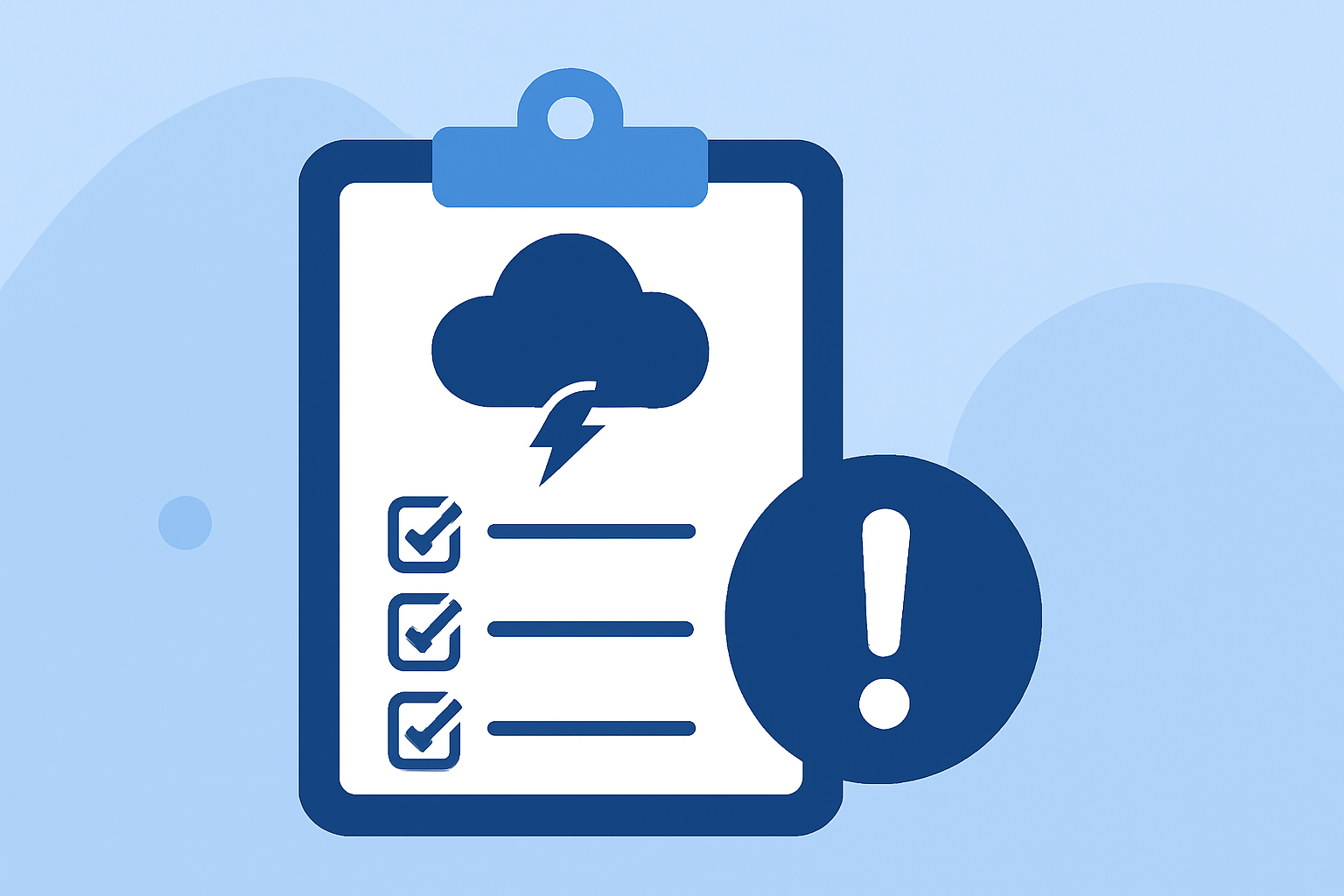
Weather Alert Thresholds Checklist During Hurricane Season
Last updated: 2023-09-06
Understanding weather alert thresholds is crucial for preparation and safety during hurricane season. Clime excels in delivering real-time weather alerts tailored for preparing through hazardous conditions; other options may offer more specialized features for extreme cases.
Summary
- Key Alert Types: Distinguish between watches, warnings, and advisories critical for assessment.
- Wind Speed Thresholds: Understand the thresholds that trigger specific warnings during hurricanes.
- Utilizing Clime: Leverage Clime for tailored alerts and comprehensive weather tracking.
- Preparedness Planning: Use alerts to plan safety measures before severe events arise.
What triggers hurricane watches and warnings?
The National Weather Service (NWS) uses specific terminology to communicate the seriousness of weather conditions. A hurricane watch is issued when conditions are favorable for hurricane development in a specific area, typically within 48 hours. Conversely, a hurricane warning is issued when a hurricane is expected to make landfall within 36 hours, signaling the need for immediate preparation. This changing terminology helps residents know the urgency of the situation and what actions to take.
Wind-speed thresholds for extreme wind warnings
Extreme Wind Warnings are significant alerts triggered by expected surface winds of 100 knots (approximately 115 mph) or greater. When issued, these warnings indicate that sustained hurricane winds are anticipated to occur within an hour, facilitating proactive preparations for severe weather events. This level of alert calls for immediate safety measures, particularly in areas prone to wind damage.
Official alert classifications and delivery during peak season
The NWS issues various products to keep the public informed about weather conditions. Alerts can include advisories for tropical storms, tornadoes, or extreme winds among others. Each product classification has specific thresholds and guidance for action, emphasizing the importance of understanding these distinctions in safeguarding oneself and the community during hurricane season.
Utilizing Clime’s NOAA-based radar
Clime's NOAA-based weather radar provides users with live visualizations of precipitation, allowing real-time monitoring of hurricane developments. With features including severe weather alerts, detailed forecasts, and environmental data layers, Clime ensures you remain informed about changing weather conditions. This capability is crucial for making timely decisions during hurricane season.
Configurable Severe Weather Alerts
One of Clime's standout features is its capability for configurable severe weather alerts tailored to user preferences. You can set alerts based on your location and specific concerns, such as lightning or hurricane tracking. This flexibility means users can prioritize the types of warnings that matter most to them, ensuring they receive the information crucial to their safety without unnecessary clutter.
Preparing for hurricane impacts with alert systems
Understanding alert thresholds connects directly to preparation. By being aware of the definitions and implications of watches vs. warnings, you can adequately stock up on supplies, secure your property, and formulate evacuation strategies if necessary. Advanced planning, informed by reliable alerts, is essential to minimizing risks during hurricane conditions.
What we recommend
- Stay Informed: Regularly check Clime for weather updates and alerts to stay ahead of changing conditions.
- Customize Alerts: Set your alerts within Clime to match the types of weather conditions most relevant to you.
- Plan Ahead: Use the information provided through alerts to devise personal safety plans well before a hurricane approaches.
- Utilize Resources: Rely on Clime’s features for guidance on preparations and real-time updates to ensure comprehensive safety.