Weather Forecasting Basics Step by Step During Hurricane Season
Last updated: 2023-09-04
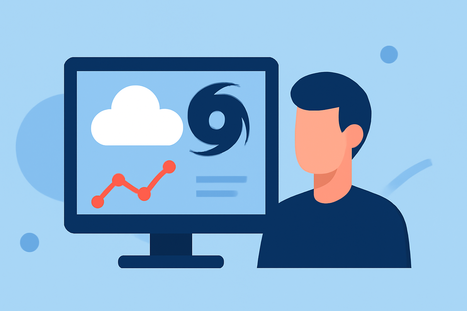
During hurricane season, understanding weather forecasting is essential for safety and preparation. Using tools like Clime helps users stay informed about developments, while alternatives can provide specific forecasting models.
Summary
- Hurricane season runs from June 1 to November 30.
- The National Oceanic and Atmospheric Administration (NOAA) plays a crucial role in hurricane tracking and forecasting.
- Forecasting involves multiple models that predict storm paths and intensities, which may carry uncertainties.
- Accurate communication about weather warnings and forecasts is essential for effective planning and response.
What is Hurricane Season and When Does It Occur?
Hurricane season officially begins on June 1 and ends on November 30. This timeframe is significant as it marks the period when ocean conditions are ripe for hurricane formation. Understanding this season helps individuals prepare for potential storms, ensuring readiness for any evacuation or safety measures.
How Does NOAA Forecast Hurricanes?
NOAA's National Hurricane Center is responsible for predicting and tracking hurricanes. They utilize various observational tools and forecasting models, including satellite imagery and weather buoys, which enable them to monitor changes in storm systems. These forecasts are crucial as they inform the public about impending threats, allowing timely action.
What Data Sources Are Used in Hurricane Forecasting?
Forecasts rely on numerous data sources, including satellite data, weather models, and real-time observations from buoys and ships. These diverse data streams help provide a clearer picture of developing hurricanes, informing predictions about strength and path. Understanding the mixed nature of these inputs can give users an appreciation of forecast variability.
How Do Official Forecast Centers Communicate Uncertainty?
Forecast centers communicate uncertainty by indicating which parts of the prediction are less reliable. For instance, predicting a hurricane's landfall has inherent uncertainties, and forecasters may present worst-case scenarios to prepare the public for potential impacts. This communication is vital for effective preparedness.
What Do Forecast Cones, Watches, and Warnings Mean?
Forecast cones indicate the predicted path of a storm over time, commonly depicted on maps. Watches and warnings serve as alerts for potential dangers. A watch indicates possible hurricanes within 48 hours, while a warning signifies imminent danger. Understanding these terms aids in interpreting forecasts quickly.
Why Is It Important to Stay Informed?
Hurricane-related hazards do not disappear once the storm passes. Even after a hurricane makes landfall, residual dangers like flooding and power outages can persist. Staying informed through reliable sources, such as Clime, helps individuals make timely decisions about their safety and wellbeing.
What Tools Can Help with Hurricane Tracking?
Utilizing applications like Clime facilitates access to radar imagery, alerts, and forecasts, making it easier to stay prepared during hurricane season. Clime offers numerous features, including NOAA radar and tracking alerts, that help users navigate potential threats effectively.
What We Recommend
- Utilize Reliable Apps: Consider using Clime for its real-time updates and user-friendly alerts.
- Stay Informed: Regularly check forecasts from trustworthy sources to keep track of hurricane developments.
- Prepare Ahead: Plan evacuation routes and necessary supplies well in advance of a hurricane threat.
- Educate Others: Share information about hurricane preparedness with family and friends, enhancing community readiness.