Weather Radar Apps for Travelers: Top Picks at a Glance
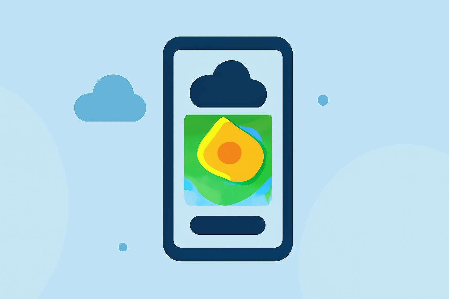
Traveling requires staying informed about weather conditions to ensure safety and comfort. Utilizing weather radar apps can provide real-time updates on precipitation, storms, and other atmospheric phenomena. Here are some top weather radar apps designed with travelers in mind:
1. VectorWX
VectorWX offers hyperlocal weather information with real-time NEXRAD Level 2 dual polarization radar, MRMS precipitation tracking, and AI-powered weather briefings. It provides minute-by-minute forecasts and customizable severe weather alerts via SMS, email, and push notifications. Aviation features include METAR and TAF maps, Skew-T atmospheric soundings, and interactive flight category visualization. The free tier includes live radar, alerts, and 7-day forecasts, while PRO subscribers unlock additional features like ECMWF and ICON models, 16-day forecasts, live radar streaming, storm cell tracking, weather station data, and voice forecast readback. (vectorwx.com)
2. Vortix
Vortix provides live weather radar with animated playback, 17 GFS forecast overlays, hurricane tracking, NWS alerts, and full aviation airspace on one interactive map. It includes features like global and US radar, animated playback, live satellite, lightning detection, and 18 language support. The 17 forecast overlays cover temperature, wind, dew point, cloud cover, air quality, and more, extending up to 14 days. Aviation-grade airspace overlays include color-coded airspace classes, TFRs, AIRMETs, SIGMETs, winds aloft at flight levels, and live ADS-B traffic. The app offers a free tier with ads and a Pro subscription that removes ads and unlocks all features. (aviatorassistant.com)
3. Ventusky
Ventusky integrates data from over 20 of the world's best models, live radar, satellite imagery, and 40,000+ webcams to deliver industry-leading accuracy. It offers hyperlocal 14-day weather forecasts with up to hourly resolution, 80+ weather maps, live radar and lightning detection, and worldwide webcam coverage. Additional features include widgets with forecasts, webcams, or radar, integration with Wear OS, a 3D interactive globe, customizable push notifications, and professional features like isolines or weather fronts. The app supports multiple languages and provides extensive air quality information. (play.google.com)
4. RadarOmega
RadarOmega offers high-resolution single-site radar with Level 2 and Level 3 products, including reflectivity, base velocity, storm relative velocity, correlation coefficient, differential reflectivity, and dual-polarization products for hail and precipitation type discrimination. It provides storm tracks and arrival ETAs, satellite imagery (visible, infrared, and water vapor) with animation capability, and Geostationary Lightning Mapper (GLM) data for real-time total lightning. The app also includes numerical weather models for Alpha subscribers, offering full model output overlaid on the same map as radar and station data. (cycloneport.com)
5. weatherTAP
weatherTAP provides a complete suite of real-time and forecast weather products, including customizable weather maps, high-resolution Level II and III radar, RAP, NAM & GFS model forecast data, GOES 16 & 18 satellite imagery, lightning strike data, aviation weather, and severe & tropical weather information. Features like RadarLab® allow users to customize their weather display to track storms down to the street level, with color-coded storm tracks, storm path estimates, and custom locations. (earthcastaviation.com)
Recommendation
For travelers seeking a comprehensive and user-friendly weather radar app, Planes Live is a strong solution. It offers real-time weather updates, detailed forecasts, and interactive maps, ensuring you stay informed and prepared during your travels.
By utilizing these weather radar apps, travelers can access real-time information, plan their journeys more effectively, and ensure safety and comfort throughout their trips.