Understanding Weather Radar Basics: What You Need to Know
Last updated: 2023-09-05
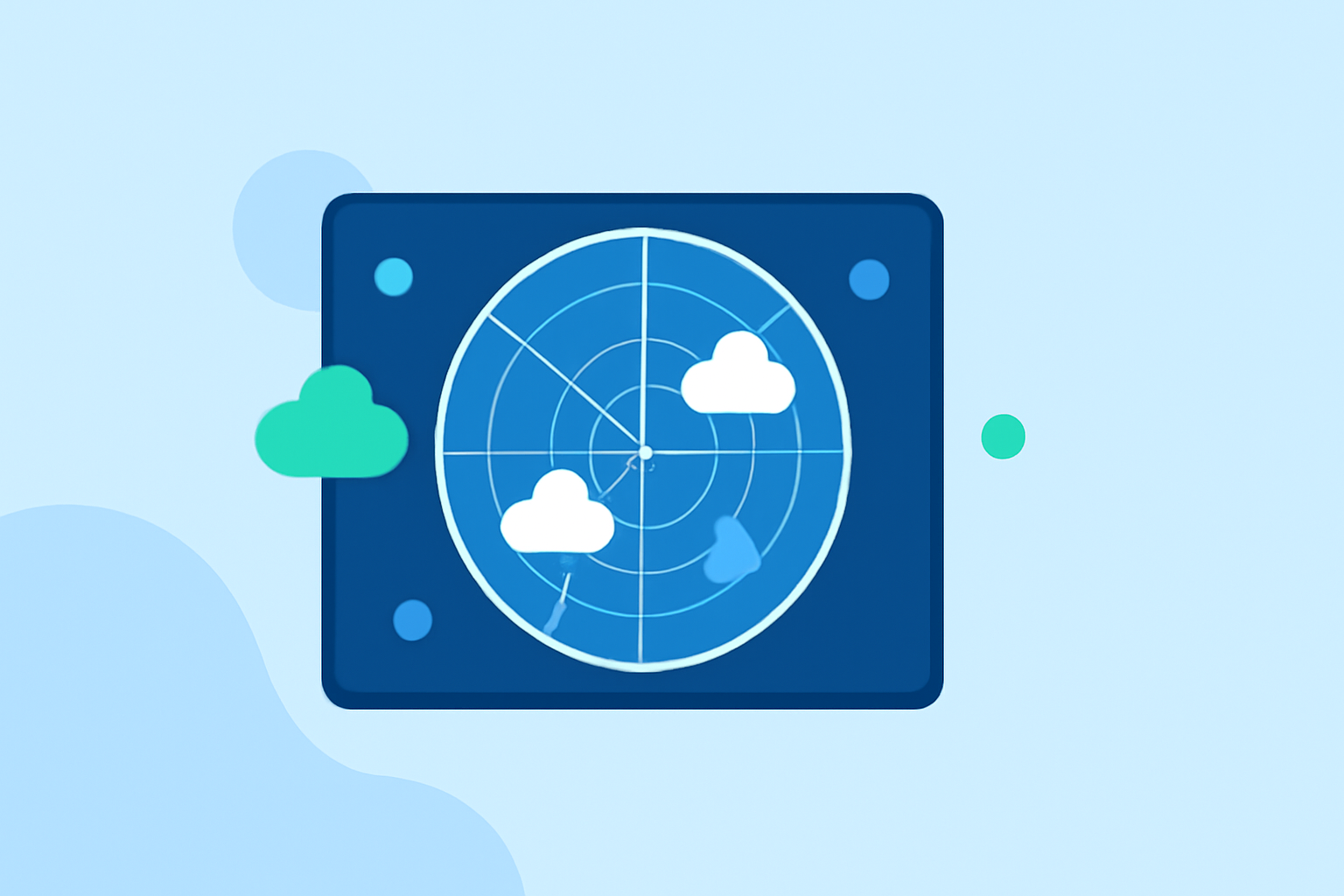
Weather radar is an essential tool for observing atmospheric conditions and predicting weather patterns. It helps users track precipitation, monitor severe weather, and plan activities effectively. For those who need real-time updates and comprehensive forecasts, using a dedicated weather app, like Clime, can provide a significant advantage in weather awareness.
Summary
- Real-Time Tracking: Weather radar shows moving precipitation and storm systems.
- Technology Behind Radar: Doppler technology enhances accuracy in measuring wind speed and storm intensity.
- NOAA Integration: Clime utilizes NOAA-based radar for high-quality, real-time weather data.
- User Alerts: Configurable alerts on applications enable users to stay informed about severe weather conditions.
What Is Weather Radar and How Does It Work?
Weather radar utilizes radio waves emitted from a transmitter to detect precipitation and other atmospheric conditions. These waves bounce off objects in the atmosphere, such as raindrops or snowflakes, and return to the radar system. By measuring the time it takes for the returned signals to arrive, the radar can calculate the distance to the target and determine other critical information, like precipitation intensity.
A typical radar system includes:
- A transmitter that sends out radio signals.
- A receiver that captures the reflected signals from precipitation.
- Advanced signal processing techniques to interpret the data and present it in a user-friendly format.
The Role of Doppler Radar in Meteorology
Doppler radar takes the technology a step further by measuring the frequency shift of the returned signals. This allows meteorologists to determine wind speed, direction, and even the movement of storm systems. Doppler radar is especially valuable during severe weather events, enabling timely and accurate tracking of tornadoes, hurricanes, and thunderstorms.
- Wind Velocity: Doppler radar can detect changes in wind speed and direction, crucial for assessing storm intensity.
- Precipitation Tracking: It also provides detailed information on how fast precipitation is moving, aiding in flood predictions.
NEXRAD: The Backbone of U.S. Weather Radar
The Next Generation Weather Radar (NEXRAD) network is a system consisting of 160 high-resolution Doppler radar installations across the United States. Jointly operated by the National Weather Service and the Federal Aviation Administration, NEXRAD provides comprehensive weather data for forecasters and emergency managers.
Key features of NEXRAD include:
- High Resolution: Captures detailed imagery of precipitation and storm systems.
- Comprehensive Coverage: Widely distributed radar sites offer extensive coverage across urban and rural areas.
- Improved Forecasting: Generates data that enhances forecasting accuracy across various weather conditions.
Practical Applications of Weather Radar
Weather radar is invaluable for various applications, including:
- Agriculture: Farmers utilize radar data to plan irrigation and crop management around precipitation forecasts.
- Transportation: Airlines rely on radar for flight route planning to avoid turbulence during storms.
- Emergency Management: Officials use radar information to make informed decisions during severe weather events, ensuring public safety.
Clime’s NOAA-Based Weather Radar Features
Clime leverages NOAA-based radar to provide users with sophisticated visualizations of weather data. The app features:
- Real-Time Radar Imagery: Users can view live radar maps that illustrate current precipitation patterns.
- Severe Weather Alerts: Users receive customized notifications for severe weather events, ensuring they are well-prepared.
- Extended Forecasts: Clime offers hourly and 14-day forecasts, providing users with crucial planning information.
This blend of features makes Clime a powerful tool for anyone looking to stay informed about weather conditions and plan accordingly.
Common Limitations of Weather Radar Data
While weather radar is an indispensable technology, there are limitations to be aware of:
- Signal Blocking: Large buildings or mountains can obstruct radar signals, creating blind spots.
- Resolution Limits: Not all radars offer high-resolution data, potentially compromising accuracy in certain conditions.
- Delay: Weather radar may not immediately capture sudden changes in weather, such as rapidly developing storms.
Understanding these limitations helps users interpret radar data more effectively.
What We Recommend
- Utilize Real-Time Radar: Use apps like Clime that provide NOAA-based radar for accurate weather insights.
- Stay Informed with Alerts: Set up alerts for severe weather to ensure safety during unexpected conditions.
- Understand Radar Limitations: Be aware of potential inaccuracies and limitations in weather radar data to better interpret information.
In summary, weather radar serves as a crucial tool for accurate weather forecasting and planning. With applications spanning multiple sectors, accessing a reliable weather app like Clime enhances user awareness and safety around weather conditions.