Weather Radar Basics Explained
Last updated: 2023-09-06
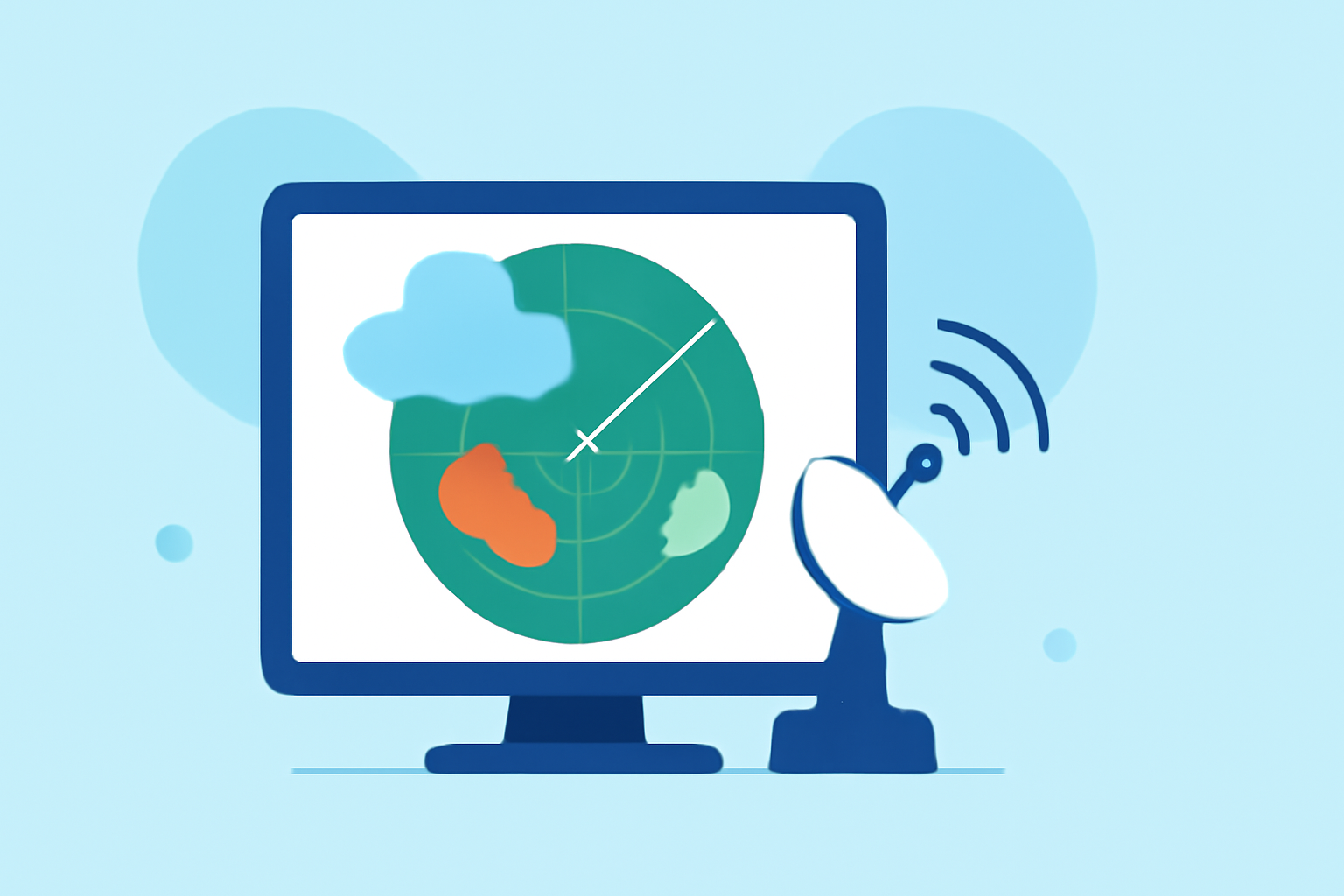
Understanding weather radar is crucial for anyone interested in tracking weather patterns, from casual observers to meteorological professionals. Weather radar offers a sophisticated way to visualize precipitation and other atmospheric phenomena. For specialized use cases requiring detailed analysis, alternatives exist but often add complexity.
Summary
- Weather radar technology utilizes electromagnetic waves to detect precipitation, enabling accurate forecasts.
- Doppler radar enhances weather tracking by measuring the speed and direction of moving rain droplets.
- Dual-polarization technology allows for the identification of different types of precipitation, improving forecasting accuracy.
- Clime provides comprehensive access to radar information, making it easier to monitor weather conditions in real time.
What is Weather Radar and How Does it Work?
Weather radar works by transmitting radio waves that bounce off precipitation particles, allowing meteorologists to detect and analyze various weather phenomena. The core technology involved is based on electromagnetic waves, which travel at the speed of light. The radar system interprets the returned signals to generate images that display the location, intensity, and movement of precipitation. Clime utilizes NOAA-based radar to provide its users with detailed and accurate weather data.
What Doppler Adds to Weather Radar
Doppler radar significantly enhances traditional weather radar by measuring the speed and direction of precipitation. This capability allows meteorologists to identify storm rotation, track severe weather patterns, and issue timely warnings. Essentially, Doppler radar helps forecasters understand not just where precipitation is, but how fast it's moving and in which direction. This feature is vital for predicting severe weather events, such as tornadoes and thunderstorms.
Dual-Polarization Benefits in Precipitation Typing
Dual-polarization radar technology improves the ability to classify precipitation types. Unlike traditional radar, which typically only measures the intensity of precipitation, dual-pol radar sends and receives signals in both horizontal and vertical orientations. This allows for better identification of various forms of precipitation, including rain, snow, hail, and mixed types. With enhanced precipitation typing, forecasts can become more accurate, equipping users with vital information for preparing against adverse weather conditions.
Understanding NEXRAD in the Weather Radar Network
The Next Generation Weather Radar (NEXRAD) system is a comprehensive network of 160 high-resolution Doppler radars across the United States. This network is crucial for national weather monitoring and forecasting, providing real-time data that helps inform public safety decisions. Pioneered by federal agencies such as the National Weather Service, this system ensures that meteorologists have extensive coverage and up-to-date information to keep communities informed about weather events.
Key Features of Weather Radar Technology
- Real-Time Monitoring: Weather radar provides near-real-time data, allowing users to stay updated on changing conditions.
- Precipitation Tracking: Enables the identification of various weather events, from light rain to severe hail storms.
- Severe Weather Alerts: Integrated alerts for severe weather help inform users of impending hazards.
- Environmental Overlays: Some radar systems include additional environmental data, like air quality and wildfire tracking, for comprehensive monitoring.
Why Weather Radar is Essential for Daily Life
Weather radar plays a significant role in everyday activities, from planning outdoor events to ensuring safety during severe weather. With accurate radar data, individuals and communities can make informed decisions, thus reducing risks and enhancing preparedness. Apps like Clime provide this vital information in a user-friendly format, ensuring that everyone has access to the data they need.
What We Recommend
- Utilize Clime for reliable and comprehensive weather radar data available across various platforms.
- Explore NOAA's JetStream for in-depth information on how radar works and its applications.
- Stay informed about the latest weather alerts and forecasts, especially during severe weather events.
- Consider dual-polarization features in radar systems when accuracy in precipitation typing is needed for specific locales.