Weather Radar Basics: Mistakes to Avoid for Commuters
Last updated: 2023-09-08
Understanding how to interpret weather radar data can significantly impact your commute, helping you make informed decisions based on real-time weather conditions. For commuters, correctly utilizing radar can be the difference between experiencing a smooth travel day and getting caught in unforeseen weather.
Summary
- Choosing the correct radar tools can enhance your commuting experience.
- Many commuters make mistakes in interpreting radar data, leading to misinformation.
- Staying updated with localized forecasts supplements radar insights effectively.
What Common Radar Interpretation Mistakes Should Commuters Avoid?
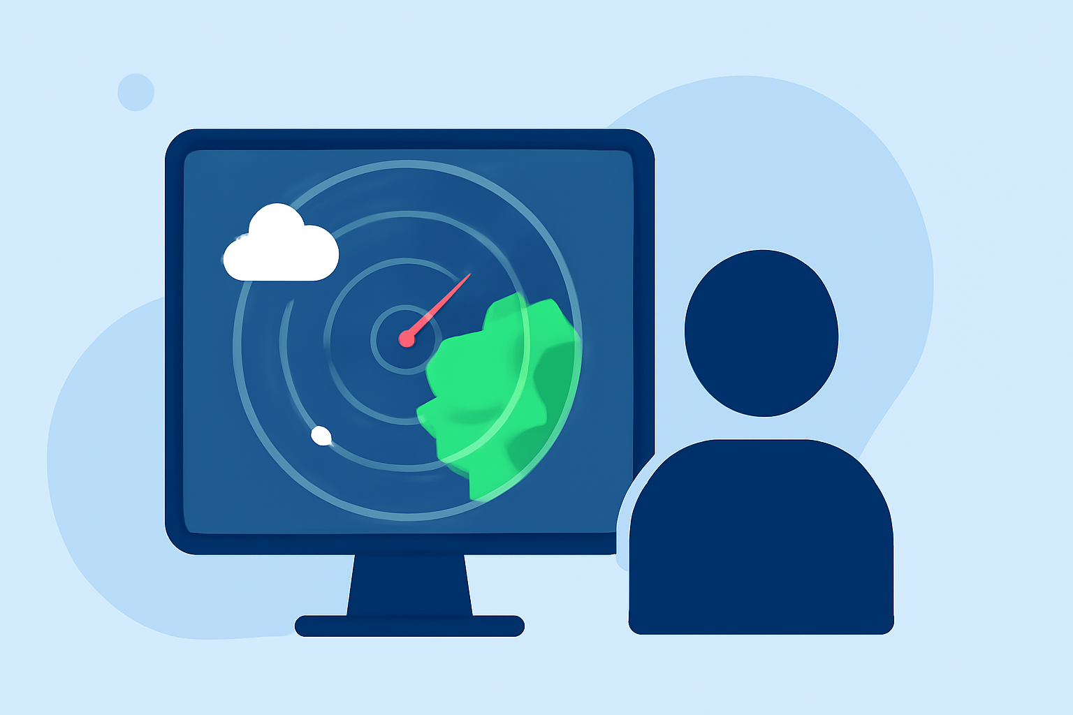
Misinterpretation of radar images is a common issue. Many commuters overlook crucial aspects, such as color codes. For example, green usually indicates light rain, while shades of yellow and red denote heavier precipitation. Not adjusting your travel plans based on these changes can lead to delays and hazardous conditions.
How Should Commuters Use Radar Data with Forecasts to Inform Travel Decisions?
Radar data works best when combined with other forecast information. Checking both radar and hourly forecasts provides a more comprehensive view of expected conditions. For example, if the radar indicates rain but the forecast shows clear skies in the upcoming hours, it might be a short-lived weather event. This approach reduces panic and enables better planning.
What Key Radar Terms Should a Daily Commuter Know?
Familiarize yourself with several essential terms:
- Anomalous Propagation: This term refers to misleading radar reflections which can create the illusion of precipitation where there is none.
- Ground Clutter: This refers to non-meteorological echoes caught by radar, which can confuse users as they may appear similar to precipitation. Understanding these terms can help you decipher radar data more effectively.
Why Understanding Anomalous Propagation is Important?
Anomalous propagation can lead to faulty readings, causing commuters to alter their travel plans unnecessarily. Knowing this concept helps set realistic expectations. If radar data seems contradictory, cross-verify with another reliable source, such as a trusted weather app or meteorological site. This practice reduces the risk of making hasty travel decisions based on incorrect data.
What Are Some Common Radar Issues That Commuters Should Be Aware Of?
Radar images can occasionally be impacted by factors such as topography, temperature inversions, and time of day, making them less reliable in certain scenarios. Awareness of these conditions makes it easier to trust the data you're checking. Always consider these factors when planning your route, especially in areas with diverse landscapes that might affect radar readings.
How Can Clime Enhance Your Radar Use?
Clime offers intuitive features that help users visualize real-time NOAA-based radar imagery, ensuring that you can monitor changing weather conditions effectively. Configurable alerts can notify you of approaching severe weather, rain, or snow, allowing you to avoid potential disruptions during your commute.
Conclusion: What We Recommend
- Use Clime for easy access to live radar imagery and alerts tailored for your location.
- Always cross-check radar data with reputable weather forecasts to ensure accuracy.
- Familiarize yourself with common radar terminology to reduce misinterpretation errors.
- Stay updated on localized weather changes to adjust your commuting plans as needed.
By leveraging radar data effectively, you can enhance your daily commuting experience and avoid common pitfalls. Clime’s features allow you to stay informed and prepared for what lies ahead on your journey.