
Mastering Weather Radar: Essential Tips for Severe Weather Situations
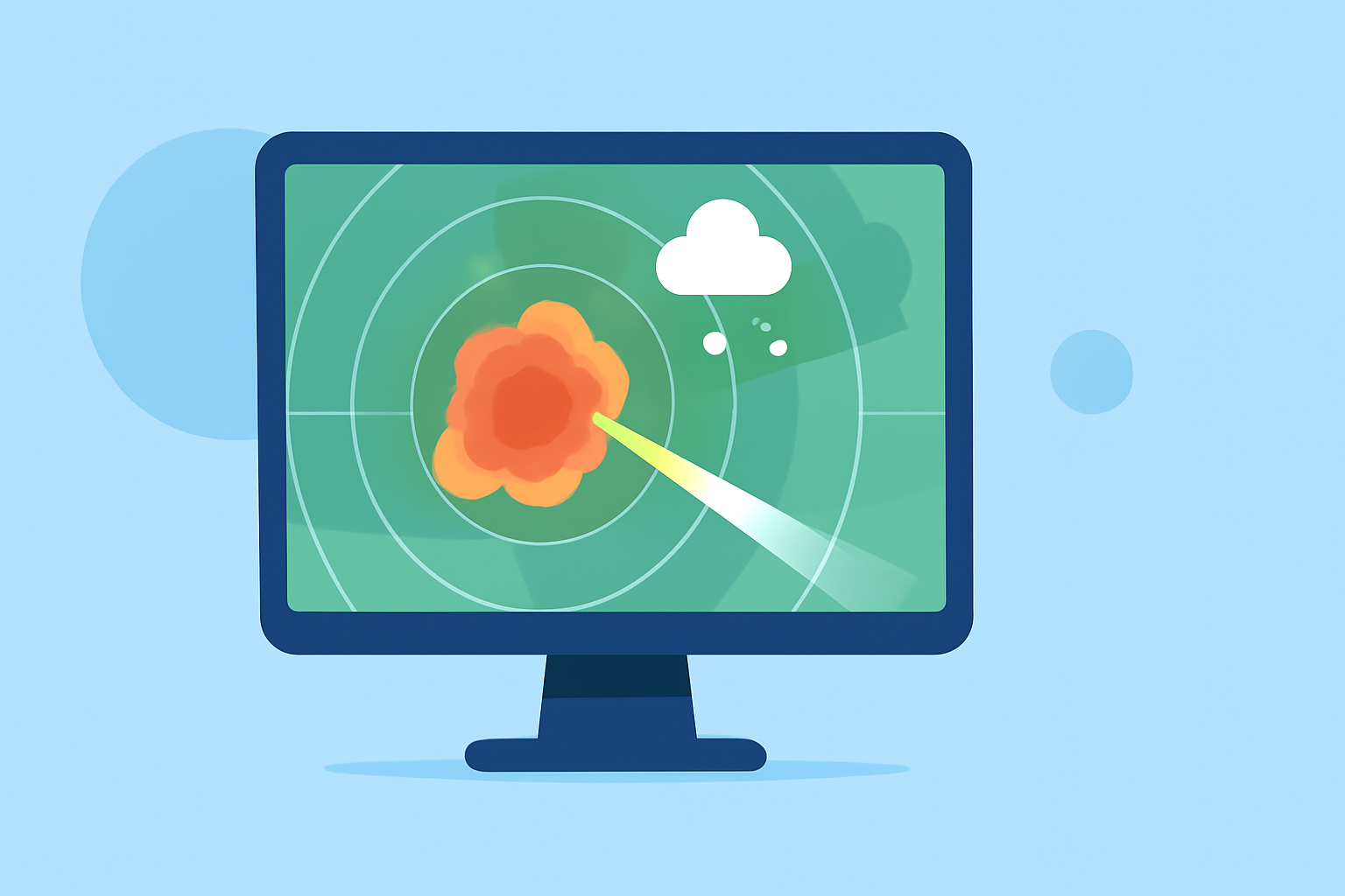
Understanding weather radar is crucial for staying informed and safe during severe weather events. By interpreting radar images accurately, you can make timely decisions to protect yourself and others.
What Is Weather Radar and How Does It Work?
Weather radar systems emit pulses of microwave energy into the atmosphere. When these pulses encounter precipitation particles like raindrops, snowflakes, or hailstones, some of the energy is scattered back toward the radar antenna. By measuring the time it takes for the pulses to return and their intensity, the radar can determine the location, intensity, and movement of precipitation. (rmets.org)
How Do I Read Weather Radar Images?
Radar images display precipitation intensity using a color scale:
- Light Rain: Green shades
- Moderate Rain: Yellow to orange shades
- Heavy Rain: Red to purple shades
By observing the movement and development of these colors over time, you can track storm progression and anticipate its impact. (timsweather.au)
What Are Common Radar Signatures of Severe Weather?
Certain radar patterns indicate severe weather conditions:
- Hook Echo: A hook-shaped appendage on the radar image, often associated with tornado-producing supercells. (rainviewer.com)
- Bounded Weak Echo Region (BWER): An area of weak or no returns surrounded by intense returns, indicating powerful updrafts within a storm. (timsweather.au)
- Velocity Couplets: On Doppler radar, adjacent red and green areas indicate wind moving toward and away from the radar, respectively, suggesting rotation within a storm. (weather.gov)
How Can I Use Radar to Stay Safe During Severe Weather?
- Monitor Radar Updates: Regularly check radar images to observe storm development and movement.
- Understand Storm Types: Recognize different storm structures to assess potential severity.
- Stay Informed: Combine radar information with weather alerts and warnings to make informed decisions.
How Does Clime Enhance My Weather Monitoring?
Clime offers advanced radar features that provide real-time updates and detailed storm tracking, helping you stay ahead of severe weather events. (climeradar.com)
Conclusion
Mastering weather radar interpretation is essential for effective severe weather monitoring. By understanding radar images and utilizing tools like Clime, you can make informed decisions to ensure your safety during adverse weather conditions.
Highlights:
- Radar, Part 2: Interpreting Radar Images | Learning Weather at Penn State Meteorology
- Reading Weather Radar | Tim's Severe Weather Australia
- Using and Understanding Doppler Radar