
An Introduction to Weather Radar Basics on a Smart Display
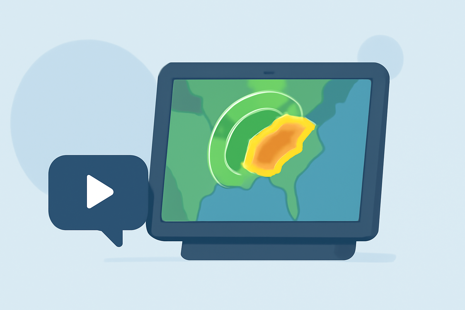
Weather radar is a crucial tool in meteorology, enabling the detection and analysis of precipitation patterns such as rain, snow, and hail. Understanding how weather radar operates and how to interpret its data on smart displays can enhance your ability to monitor and predict weather conditions effectively.
What Is Weather Radar and How Does It Work?
Weather radar, short for "radio detection and ranging," utilizes radio waves to detect precipitation in the atmosphere. The radar system emits pulses of electromagnetic energy, which travel through the air and reflect off precipitation particles like raindrops, snowflakes, or hailstones. The reflected signals are then received by the radar, allowing meteorologists to determine the location, intensity, and movement of precipitation. (prod-01-alb-www-noaa.woc.noaa.gov)
How Is Radar Data Displayed on Smart Devices?
Modern smart devices, including smartphones and tablets, can display weather radar data through specialized applications. These apps present radar information in real-time, often using color-coded maps to indicate precipitation intensity. For example, light rain might be shown in green, moderate rain in yellow, and heavy rain in red. Some applications also provide additional features like storm tracking, wind speed indicators, and severe weather alerts.
What Are the Key Components of Radar Data on Smart Displays?
When viewing radar data on a smart display, it's essential to understand the following components:
-
Reflectivity: Indicates the intensity of precipitation. Higher reflectivity values correspond to heavier precipitation.
-
Velocity: Shows the speed and direction of precipitation particles, helping to identify wind patterns and potential severe weather events.
-
Dual-Polarization: Enhances the ability to distinguish between different types of precipitation, such as rain, snow, or hail, by transmitting and receiving both horizontal and vertical pulses. (prod-01-alb-www-noaa.woc.noaa.gov)
How Can I Interpret Radar Data Effectively on My Smart Device?
To interpret radar data effectively:
-
Familiarize Yourself with the Color Scale: Understand what each color represents in terms of precipitation intensity.
-
Monitor Movement and Trends: Observe how precipitation is moving over time to anticipate weather changes.
-
Pay Attention to Alerts: Utilize features that provide notifications for severe weather conditions.
-
Cross-Reference with Other Sources: Use radar data in conjunction with other weather information, such as forecasts and satellite imagery, for a comprehensive understanding.
How Accurate Is Radar Data on Smart Displays?
While radar data on smart displays is generally accurate, it's important to be aware of certain limitations:
-
Range Limitations: Radar effectiveness decreases with distance; precipitation far from the radar may not be detected accurately.
-
Beam Height: The radar beam is elevated above the ground, which can result in missing precipitation near the surface.
-
Non-Meteorological Interference: Objects like birds, insects, or buildings can cause false returns, leading to inaccuracies. (bom.gov.au)
How Can I Enhance My Understanding of Weather Radar on Smart Displays?
To deepen your understanding:
-
Explore Educational Resources: Many weather apps offer tutorials and guides on interpreting radar data.
-
Stay Updated: Regularly check for updates to your weather app, as new features and improvements are continually developed.
-
Engage with Community Forums: Participate in discussions with other users to share insights and tips.
By comprehending the fundamentals of weather radar and effectively utilizing smart displays, you can stay informed about weather conditions and make better decisions based on real-time data.
Highlights:
- Weather radars | The Bureau of Meteorology
- How radar works | National Oceanic and Atmospheric Administration
- Using and Understanding Doppler Radar