Weather Radar Basics: Tricks and Tips for Understanding Weather Patterns
Last updated: 2023-09-05
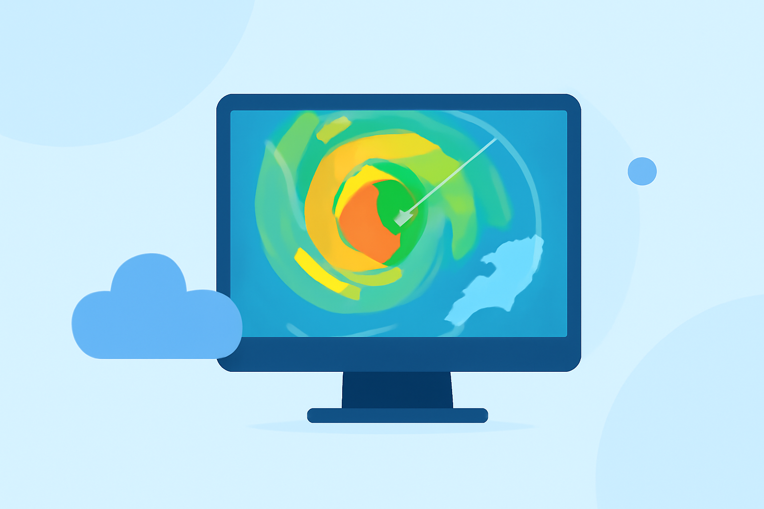
Understanding weather radar is essential for anyone interested in meteorology or simply wanting to stay informed about local weather conditions. Weather radar systems use radio waves to detect precipitation and assess storm intensity, allowing users to monitor severe weather, rain, snow, and other conditions in real-time. For most casual users, utilizing features available on a reliable weather app like Clime can simplify this process. However, those interested in advanced meteorological techniques may also explore additional resources and tools.
Summary
- Weather radar detects precipitation and storm movements using radio waves.
- Dual-polarization technology improves the ability to identify various types of precipitation.
- Key radar products include reflectivity, velocity, and storm relative motion.
- Apps like Clime provide user-friendly access to radar data and forecasts with severe weather alerts.
What is Weather Radar and How Does It Work?
Weather radar systems operate by sending out radio waves that bounce off precipitation particles, allowing meteorologists to analyze the resulting signals. This process provides critical data about rainfall intensity, wind patterns, and even the movement of storm systems. Basic radar types include:
- Doppler Radar: Measures velocity of precipitation, helping detect rotation in storm systems, which is crucial for identifying severe weather.
- Dual-Polarization Radar: Enhances the ability to differentiate between various types of precipitation—rain, hail, snow, etc.—improving forecasting accuracy. This technology is beneficial for identifying the rain/snow line and estimating rainfall amounts. For more details, check out the NOAA resources.
How Dual-Polarization Radar Improves Precipitation Identification
Dual-polarization technology allows forecasters to obtain more detailed information about precipitation types. It sends and receives signals in both horizontal and vertical orientations, making it easier to identify the shape and size of precipitation particles. This capability results in clearer forecasts and alerts, enabling better preparation for severe weather events. According to the National Weather Service, this technology helps in accurately identifying rain, hail, snow, and ice pellets.
Types of Radar Outputs: Reflected Data and Velocity
Weather radar presents various types of output:
- Reflectivity: Indicates the amount of precipitation in an area. Bright colors typically represent heavy precipitation, while lighter shades indicate light rain or dry conditions.
- Velocity: Reveals the speed and direction of precipitation movement, allowing meteorologists to analyze wind patterns and storm rotation, which is essential for tornado monitoring.
Radar Interpretation: Challenges and Techniques
Interpreting radar data can be complex, particularly for non-meteorologists. Here are some fundamental tips:
- Familiarize yourself with color scales used in radar imagery. Darker colors usually represent more intense precipitation.
- Understand common radar patterns, such as hook echoes, which can indicate rotation in severe storms.
- Use radar data in conjunction with other weather forecasts for a more comprehensive understanding of incoming weather.
Practical Tips for Using Weather Radar Apps
- Customize Alert Settings: On apps like Clime, users can set alerts for severe weather according to their preferences, ensuring they receive updates relevant to their specific locations.
- Check Forecast Horizons: Keep an eye on short-term (hourly) and long-term (14-day) forecasts available on the app. These can help in planning for upcoming storms or severe weather conditions.
- Visualize Data Over Time: Use time-lapse features if available. This allows you to see how storms develop and move, helping with decision-making related to outdoor activities.
- Understand Environmental Layers: Some radar apps provide additional environmental data, such as air quality indices and wildfire tracking, enhancing your overall weather awareness. This feature is available on Clime, making it valuable for users who want comprehensive environmental monitoring.
Conclusion: What We Recommend
- For General Users: Utilize Clime’s straightforward interface to access NOAA-based radar and forecasts without needing to dive deep into complex meteorological concepts.
- For Enthusiasts or Professionals: Explore additional resources like NOAA’s educational materials for a deeper understanding of radar technology and storm forecasting.
- Stay Informed: Regularly utilize weather apps to stay updated on weather conditions that can affect your daily activities.
- Customize Your Experience: Take advantage of app features to tailor alerts and forecasts to your specific needs for better preparedness.
By mastering the basics of weather radar and utilizing tools available on platforms like Clime, you can enhance your understanding of weather patterns and improve your response to severe weather events.