Weather Radar Basics Tutorial
Last updated: 2023-09-06
Understanding weather radar is essential for anyone interested in tracking precipitation and severe weather patterns. Weather radar systems, such as NEXRAD, use advanced technology to provide timely information about weather conditions. In this tutorial, we’ll cover the basics of how radar works, how to interpret its data, and how Clime leverages this technology effectively.
Summary
- How Radar Works: Learn how radar transmits and receives signals to detect weather conditions.
- Doppler Radar: Understand how Doppler technology enhances weather tracking by measuring wind velocity.
- Clime’s Features: Explore how Clime integrates radar technology to provide real-time alerts and forecasts.
- Interpreting Radar Data: Get tips on reading reflectivity and velocity maps for better weather understanding.
What is Weather Radar and How Does It Work?
Weather radar operates by transmitting radio waves into the atmosphere. When these waves encounter precipitation, they bounce back to the radar system. This returned signal provides critical data about the type and intensity of precipitation in real-time. For example, NEXRAD (Next Generation Radar) uses a configuration that combines both transmitting and receiving antennas in a structure known as a radome (NOAA).
How Does Doppler Radar Measure Wind Velocity?
Doppler radar is a significant advancement in weather technology. It measures the frequency shift in signals reflected back from moving targets, such as raindrops or snowflakes. This ability allows meteorologists to calculate wind velocity and detect rotation in storm systems, which is critical for issuing timely tornado warnings (National Weather Service).
Interpreting Reflectivity and Velocity Maps for Beginners
Reflectivity maps display the intensity of precipitation, often depicted in shades of green, yellow, and red. Green generally indicates light rain, yellow suggests moderate rain, and red or purple signifies heavy rain or thunderstorms. Velocity maps show wind direction and can help identify rotation, which is vital for detecting severe weather (NOAA).
Key Features of NEXRAD Systems
NEXRAD combines multiple functions to gather comprehensive weather data. It can detect precipitation type, intensity, and movement, which allows for advanced forecasting and severe weather alerts. Additionally, its ability to see wind patterns is crucial for predicting tornado formation (National Weather Service).
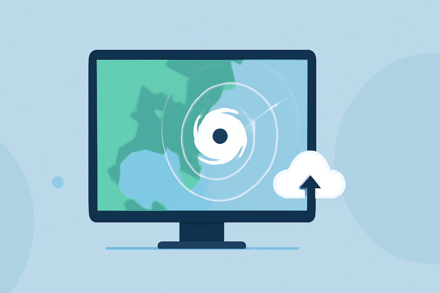
How Clime Utilizes Radar Technology
At Clime, we harness NOAA-based radar technology to provide real-time visualizations of weather patterns. Our platform offers near-instantaneous access to radar imagery, allowing users to track precipitation and severe weather events effectively. With customizable alerts for various weather hazards, Clime ensures you stay informed when it matters most.
Why Choose Clime for Weather Tracking?
Clime integrates advanced radar features with user-friendly interfaces and seamless accessibility. Our service is designed to cater to both casual users and weather enthusiasts, aiming to provide extensive forecasting capabilities right to your device. Whether you're planning a trip or tracking an approaching storm, Clime’s comprehensive features make it a reliable choice.
Conclusion: What We Recommend
- Utilize Clime for Simplified Forecasting: Enjoy NOAA-based radar imagery and personalized alerts.
- Regularly Check Radar Updates: Stay informed with real-time weather data, crucial for planning and safety.
- Explore Extended Forecast Options: Make use of our hourly and 14-day forecasts for effective long-term planning.
Understanding these radar concepts will empower you to make informed decisions regarding weather conditions. Clime stands out as an ideal option for those looking to leverage radar data effectively while accessing meaningful weather insights in real time.