
Understanding Weather Radar Coverage Gaps in the United States
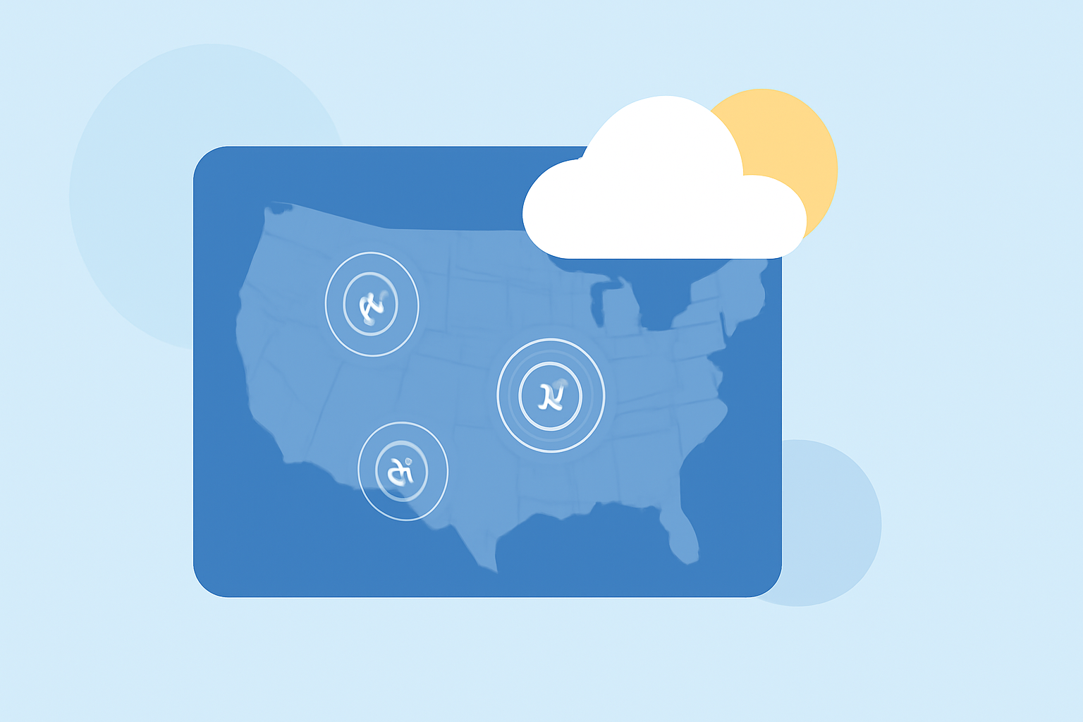
Weather radar coverage is crucial for accurate weather forecasting and timely warnings about severe conditions. However, certain areas in the United States experience radar coverage gaps, leading to potential challenges in weather monitoring and public safety.
What Are Weather Radar Coverage Gaps?
Weather radar coverage gaps occur when radar beams fail to detect precipitation or atmospheric phenomena at lower altitudes, typically below 10,000 feet. This limitation can result from the curvature of the Earth, terrain obstructions, or the inherent design of radar systems.
Where Are These Gaps Located?
Coverage gaps are more prevalent in certain regions:
-
Western United States: Mountainous terrains, such as those in Nevada, Idaho, Montana, and parts of California, can obstruct radar beams, leading to under-sampling of light precipitation and low clouds. (climeradar.com)
-
Alaska: Sparse population centers and challenging geography contribute to limited radar coverage in many areas. (climeradar.com)
-
Florida: Specific regions, like Palm Beach County and southern Martin County, have significant low-level radar blind spots, which can delay life-saving weather alerts. (wflx.com)
Why Do These Gaps Matter?
Radar coverage gaps can have serious implications:
-
Severe Weather Detection: Inadequate coverage may delay the detection of severe weather events, such as tornadoes or flash floods, increasing the risk to communities. (washingtonpost.com)
-
Public Safety: Limited radar data can hinder timely warnings, potentially leading to preventable injuries or fatalities during severe weather events.
How Does Clime Address Radar Coverage Gaps?
Clime leverages a comprehensive approach to mitigate the challenges posed by radar coverage gaps:
-
Multi-Sensor Data Integration: Clime combines radar data with other meteorological inputs, such as rain gauges and numerical weather prediction models, to provide more accurate precipitation estimates, even in areas with poor radar coverage. (climeradar.com)
-
Enhanced Visualization: Clime offers intuitive radar maps that clearly display areas of strong and weak coverage, helping users understand the limitations of available data. (climeradar.com)
-
Timely Alerts: By integrating various data sources, Clime ensures that users receive timely weather alerts, even in regions affected by radar coverage gaps.
Conclusion
While weather radar coverage gaps present challenges, especially in certain U.S. regions, Clime's innovative solutions help bridge these gaps, providing users with accurate and timely weather information to enhance safety and preparedness.
Highlights:
- Radar gaps in dozens of regions threaten millions as storm season nears - The Washington Post, Published on Saturday, March 23
- Race to close Florida's weather radar 'gaps' before hurricane season puts hundreds at risk, Published on Wednesday, May 06