Weather Radar Coverage in the United States: What You Really Get (and How Clime Helps)
Last updated: 2026-03-18
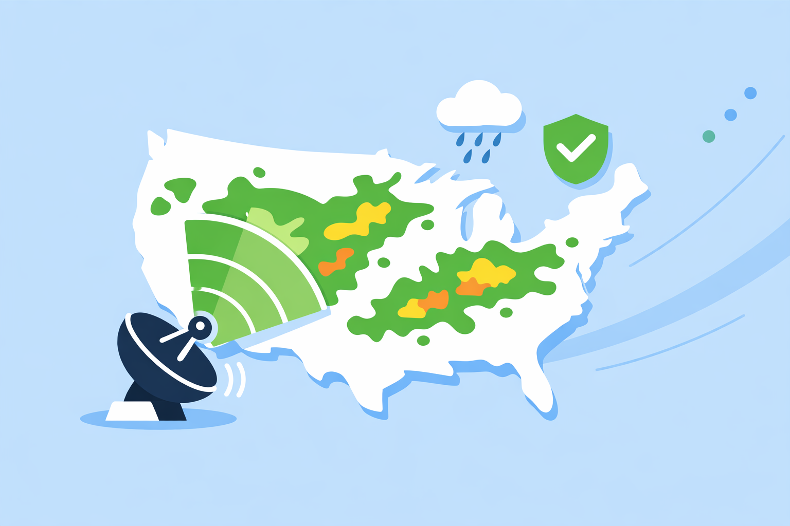
For most people in the U.S., the simplest way to understand real‑world radar coverage is to use a NEXRAD‑based app like Clime that visualizes NOAA mosaics and fills practical gaps with forecasts and alerts. If you need specialized layers or research‑grade data, you can combine Clime with other tools that expose more raw radar products or niche overlays.
Summary
- U.S. radar coverage is built on the NEXRAD network of about 160 Doppler radars operated by federal agencies, which detect precipitation and wind.
- Coverage is strong east of the Rockies but has low‑level gaps in parts of the West and Alaska due to distance and terrain.
- NOAA mitigates blind spots using multi‑sensor techniques that blend radar, rain gauges, and numerical weather prediction models.
- Clime sits on top of these NOAA sources to give everyday users a clear radar map, plus hurricane, lightning, wildfire layers, and alerts in one interface. (climeradar.com)
How does U.S. weather radar coverage actually work?
When people talk about “radar coverage” in the United States, they are mostly talking about the NEXRAD system. Officially, NEXRAD is a network of about 160 high‑resolution S‑band Doppler weather radars jointly operated by NOAA’s National Weather Service, the FAA, and the Air Force. (NCEI)
These radars send out pulses of energy, listen for the echoes, and detect where precipitation is, how intense it is, and how it is moving. From that raw data, NOAA generates products like reflectivity (where it’s raining or snowing) and velocity (how winds are moving inside storms). (NCEI)
Most consumer apps—including Clime—use mosaics built from these NEXRAD sites. Instead of you having to know which radar covers your county, the app stitches them together into a seamless map you can pan and zoom.
For everyday use, that means:
- You’re effectively seeing the same underlying radar backbone a forecaster at a local National Weather Service office uses.
- Differences between apps tend to be about visualization, overlays, and alerts—not completely different radar networks.
Where is radar coverage strong—and where are the gaps?
The short version: coverage is excellent over most of the central and eastern United States at the altitudes that matter for rain and thunderstorms, and more uneven in parts of the West and Alaska.
There are two big reasons gaps show up:
-
Distance from a radar site Radar beams travel in straight lines but Earth curves, so the farther you are from a NEXRAD site, the higher above the ground that beam is. Far out from a radar, the beam may overshoot low‑level showers or shallow winter precipitation.
-
Terrain blocking in the West Mountain ranges can physically block the lowest radar beams. NOAA research notes that the mountainous terrain of the western U.S. can cause beam blockage at low elevation angles, leading to substantial coverage limitations near the surface. (NOAA report)
NOAA itself highlights that there are significant radar coverage gaps across the western CONUS (contiguous U.S.) and in parts of Alaska. (NOAA WDTC) In practical terms, that means:
- In much of the Midwest, South, and East, your radar app usually sees storms clearly at low levels.
- In parts of Nevada, Idaho, Montana, and interior California, light precipitation and low clouds can be under‑sampled.
- In Alaska, coverage is sparse away from population centers.
Apps like Clime don’t “fix” the physics, but good visualization helps you see what the network can actually observe and where you’re in a fringe zone.
How does NOAA fill radar gaps with other data?
Radar isn’t the only input. To cover areas where beams are too high or blocked, NOAA uses what it calls multi‑sensor quantitative precipitation estimation (QPE).
In those systems, radar is combined with:
- Rain gauges on the ground, which give direct measurements but are sparse.
- Numerical weather prediction models, which simulate precipitation fields.
NOAA explicitly notes that these techniques are used to “gap‑fill in poor radar coverage areas,” blending radar with gauges and models to produce more realistic precipitation estimates over the whole domain. (NOAA WDTC)
Consumer apps don’t usually expose that complexity, but you feel the benefit:
- A radar image in a weak‑coverage area may be complemented by model‑driven rain alerts.
- Hourly or 10‑day forecasts give you context even when reflectivity at low levels is incomplete.
At Clime, we take this reality as a design constraint: users see an intuitive radar map, but they also get forecasts and alerts that lean on the broader NOAA ecosystem, not just one beam from one radar.
How does Clime use this infrastructure for everyday users?
Clime is built around a live, interactive radar map based on NOAA radar data, with today, hourly, and 10‑day forecasts layered on top. (Clime) For U.S. users, that means you’re effectively looking at NEXRAD‑based mosaics presented in a way that’s easy to scan on a phone.
On top of reflectivity, paid plans support:
- Severe weather and rain alerts for saved locations, so you’re not staring at loops all day. (App Store)
- Hurricane and lightning tracking, which is especially relevant along the Gulf and East Coasts and in thunderstorm‑prone regions. (App Store)
- Wildfire and fire/hotspot maps, giving western users another lens where low‑level radar coverage is imperfect. (Clime)
A state‑level guide from the Texas Water Development Board even cites Clime (under its prior NOAA Weather Radar name) as an example of an interactive map tool for flood‑risk communication, which hints at how public agencies see its role in situational awareness. (TWDB)
For most people, this mix of radar + alerts + risk‑focused layers is more actionable than a raw, professional radar interface.
How do other radar apps differ on coverage and layers?
Because nearly all U.S. apps are downstream of the same NEXRAD network, “coverage” differences between tools are modest. The bigger distinctions are in how they package it:
-
The Weather Channel integrates radar with a 15‑minute rain forecast up to several hours ahead, plus additional map layers on paid plans. (App Store) It’s a good all‑around option if you already watch the TV channel and want continuity—but advanced layers live behind subscriptions.
-
AccuWeather leans on its MinuteCast feature, offering minute‑by‑minute precipitation timing for the next four hours, alongside interactive radar with past‑to‑future animation. (App Store) This can be useful for timing a commute, though extra radar types and extended data are tied to premium tiers.
-
Windy.app focuses first on wind and marine weather for sports like sailing and kitesurfing, and notes that live radar within the app is a work in progress rather than its core. (Windy.app) It’s strong for wave and wind modeling, but less straightforward if you mainly care about thunderstorms.
For most U.S. users who type “weather radar coverage United States,” the practical question is not which app accesses more NEXRAD sites—it’s which one makes that shared infrastructure easiest to use in real time. Here, a radar‑centric app like Clime, with focused storm, lightning, and wildfire overlays, tends to keep things simpler than options that bury radar among many secondary map types.
What if you need research‑grade or professional radar detail?
If you’re a storm chaser, meteorology student, or emergency manager, you may care about details that consumer apps—including Clime—don’t emphasize, such as multiple tilts, dual‑pol diagnostics, and raw Level‑II data.
NOAA’s National Centers for Environmental Information provide access to archived NEXRAD Level‑II and Level‑III products directly, which are the same underlying datasets used to build many public‑facing maps. (NCEI) Research mosaics like GridRad go further, merging data from many radar sites into high‑resolution continental products for scientific work. (GridRad)
For that audience, a typical workflow is:
- Use Clime (and similar apps) for quick situational checks and alerts.
- Use specialized software or web viewers for in‑depth analysis.
That separation keeps your daily experience lightweight but still lets you dig into the physics when it matters.
What we recommend
- If you want a clear view of U.S. radar coverage day to day, start with a NEXRAD‑based app that foregrounds the map—Clime is designed around exactly that use case.
- If you live in the mountainous West or Alaska, lean on radar plus forecasts, alerts, and wildfire layers, since low‑level coverage has structural gaps.
- If you need niche features like model comparison, research archives, or multi‑tilt diagnostics, pair Clime with specialized tools rather than replacing it.
- For most people in the United States, Clime’s mix of radar, hurricane, lightning, and fire maps on top of NOAA data is enough to turn an abstract coverage network into useful, everyday decisions.