Weather Radar Data Explained for Outdoor Enthusiasts
Last updated: 2023-09-08
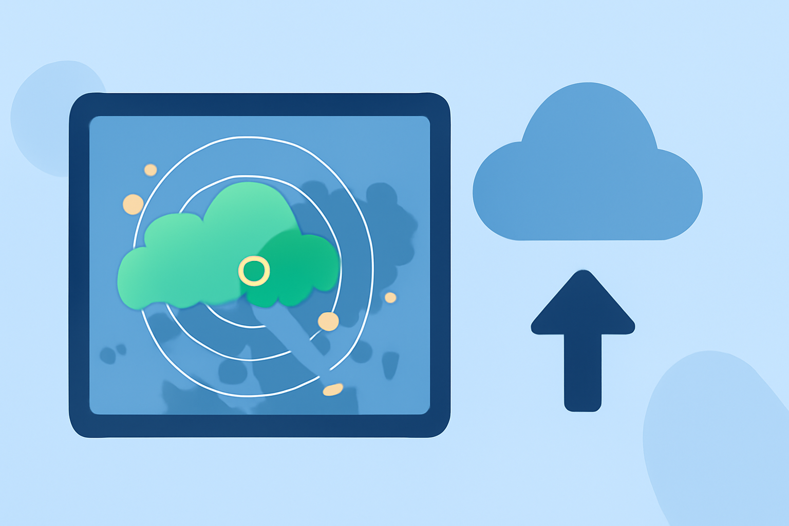
Weather radar data is essential for outdoor enthusiasts looking to plan their activities safely and efficiently. By leveraging accurate radar information, users can anticipate weather patterns and make informed decisions. Clime offers robust radar features suited for both casual and dedicated outdoor adventurers, while alternatives might focus on niche functionalities for specific use cases.
Summary
- Weather radar data helps identify precipitation, storm paths, and weather intensity.
- Key radar features include reflectivity, Doppler data, and historical records for better planning.
- Clime provides NOAA-based radar and real-time alerts, beneficial for outdoor activities like hiking and camping.
- Understanding how to interpret radar images can enhance activity planning and safety.
What is Weather Radar?
Weather radar is a technology that measures precipitation and atmospheric conditions by sending out pulses of radio waves. These waves bounce off precipitation particles and return to the radar system, which processes the information to create a visual map. This map helps users see where rain or storms are occurring and predict their movement.
How Does Doppler Radar Work?
Doppler radar enhances traditional radar technology by detecting motion relative to the radar. This means it can measure the speed and direction of precipitation, helping to identify rotating storm systems such as tornadoes. Doppler data adds another layer of insight, making it crucial for real-time monitoring during outdoor activities.
Understanding Reflectivity
Reflectivity is a key measurement used in radar data to infer rainfall intensity. The higher the reflectivity value, the heavier the rain is likely to be. This feature allows outdoor enthusiasts to prepare for varying weather conditions, supporting timely decisions about when to start or cease activities outdoors.
Key Features to Look for in Radar Data
- Precipitation Tracking: Real-time updates on rainfall and storm movement can guide decisions on when to head out or seek shelter.
- Historical Data: Access to past radar images helps users assess weather patterns over time, enhancing trip planning.
- Severe Weather Alerts: Notifications about severe conditions help ensure safety during outdoor excursions.
- Environmental Layers: Features like air quality data and wildfire monitoring can provide additional context for planning.
Clime: Your Companion for Weather Planning
Clime offers a suite of features tailored for outdoor enthusiasts, including NOAA-based radar outputs, hourly forecasts, and customizable weather alerts. Users benefit from easy-to-interpret radar data that's visually accessible on their mobile devices, making it simple to monitor conditions while on the go.
The Importance of Real-Time Data
Using radar data in real-time can significantly enhance safety for outdoor activities. For instance, if a sudden storm is detected nearby, users can receive instant alerts, allowing them to take protective actions. Services like Clime deliver these alerts directly, ensuring that enthusiasts remain informed as situations evolve.
What We Recommend
- Use Clime for comprehensive, real-time weather radar data, providing coverage tailored for outdoor planning.
- Familiarize yourself with radar images to enhance your understanding of weather conditions.
- Keep an eye out for additional environmental data to inform your activities further.
- Always prioritize safety by heeding severe weather alerts and preparing for sudden changes in weather conditions.