
Weather Radar Data Explained Without Prior Experience
Last updated: 2023-10-07
Weather radar is a high-tech tool that helps track storms and precipitation patterns, and it can be easily understood with a few basic concepts. To get started, using an app like Clime, which visualizes radar data from NOAA, allows users to monitor storms effectively without needing prior experience in meteorology.
Summary
- Weather radar uses microwave pulses to understand precipitation patterns.
- Colors on the radar indicate the strength of precipitation.
- Doppler technology measures storm speed and direction.
- Apps like Clime simplify storm tracking for users, making it accessible and user-friendly.
How Does Weather Radar Work?
Weather radar operates by sending out microwave pulses that bounce off precipitation in the atmosphere. When these pulses hit raindrops, snowflakes, or other forms of precipitation, they are reflected back to the radar system. By measuring the time it takes for the echoes to return, the radar can determine distance, while the strength of the echo reveals the intensity of the precipitation. This forms the basis of weather radar technology and allows meteorologists to track storm systems effectively.
What Do Rainbow Colors on Radar Mean?
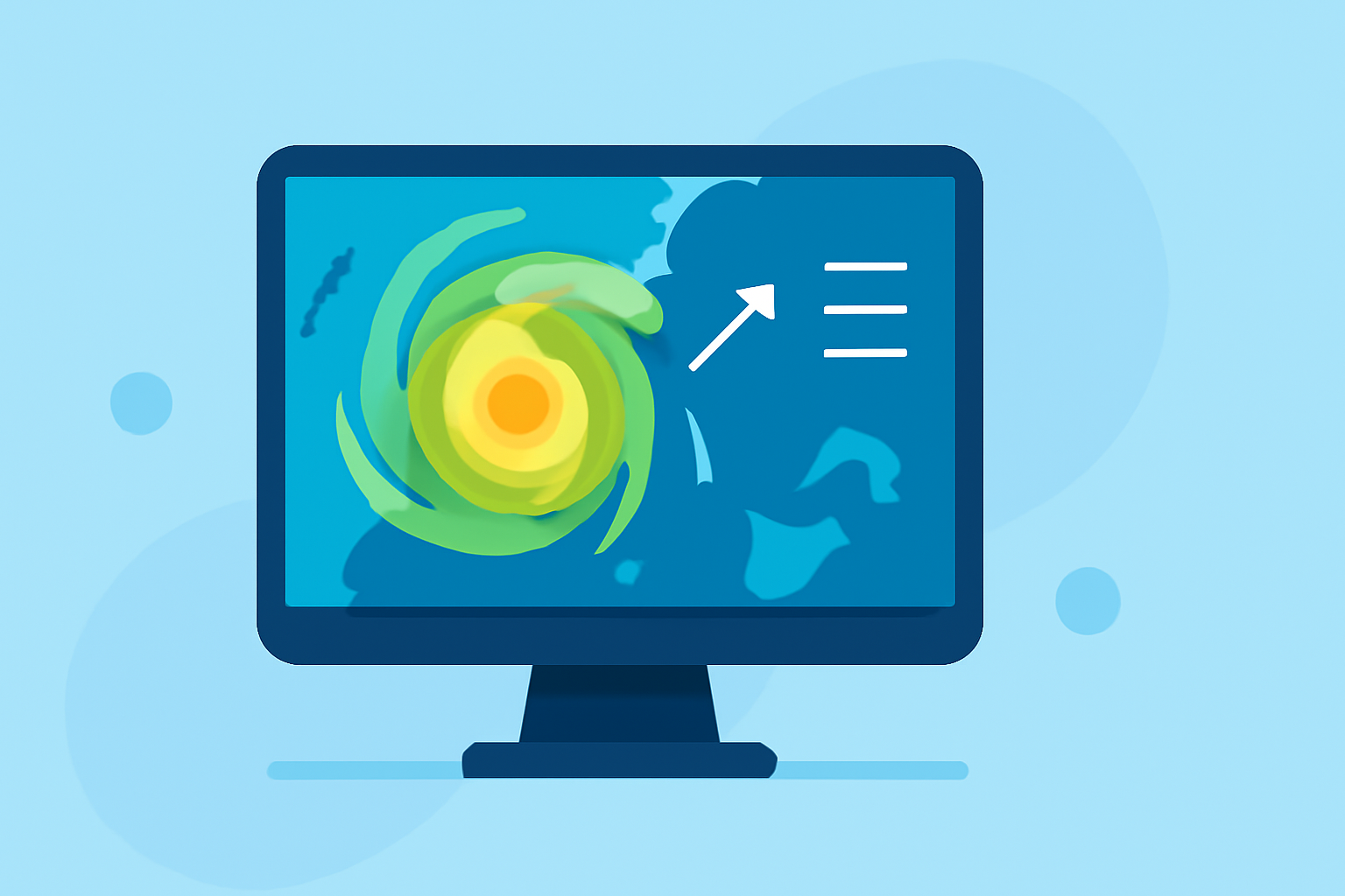
The radar display uses a color spectrum—typically ranging from green to red—to signify different levels of precipitation intensity. For example, green usually indicates light rain, yellow signifies heavier rain, and red can indicate severe weather conditions like storms or hail. This color-coding helps users quickly understand local weather conditions, allowing for informed decision-making when severe weather is approaching.
Understanding Doppler Radar
Doppler radar is an advanced type of radar that not only measures the distance of precipitation but also its velocity, or motion. This capability allows meteorologists to detect whether a storm is moving toward or away from the radar, which is crucial for assessing potential risks associated with severe weather. Doppler radar aids in issuing timely alerts for tornadoes and flash floods, showcasing its importance in protecting communities.
Dual-Polarization Technology
Modern radar systems often use dual-polarization technology, which enhances precipitation tracking capability. This version of radar sends out pulses that are oriented both horizontally and vertically. It better distinguishes between types of precipitation—such as rain, snow, and hail—helping forecasters make more accurate predictions and warnings. For instance, recognizing the rain/snow line is vital during winter storms, ensuring that alerts are accurate and helpful for residents.
Utilizing NOAA Radar Data in Clime
For many U.S. users, a radar-focused app that visualizes NOAA’s NEXRAD network on a mobile map serves as an effective solution for storm tracking. Clime is designed specifically for this purpose, providing an intuitive interface for following live radar information. You can access visualized radar data showing current storm locations, precipitation intensity, and future forecasts all in one place, making it an excellent choice for those unfamiliar with radar technology.
Clime’s Key Features
Clime enriches the user experience with a range of features, including severe weather alerts for all saved locations and an easy-to-navigate radar map. With the Premium offering, users can access localized severe weather alerts, ensuring they stay informed no matter where they are. This streamlined experience for both novice and experienced users makes Clime a great option to keep track of changing weather conditions within familiar contexts.
What We Recommend
- Start using a radar app like Clime to monitor local weather easily.
- Familiarize yourself with color codes and radar imagery to interpret weather data effectively.
- Pay attention to Doppler and radar details that represent storm movement and type.
- Make use of Clime’s alerts to stay informed on severe weather conditions in real-time.
Utilizing weather radar data doesn't require a meteorology degree—understanding the basics can help you stay prepared for changing weather conditions. With tools like Clime, storm tracking becomes straightforward and accessible for everyone.