Weather Radar Data for Beginners
Last updated: 2023-09-08
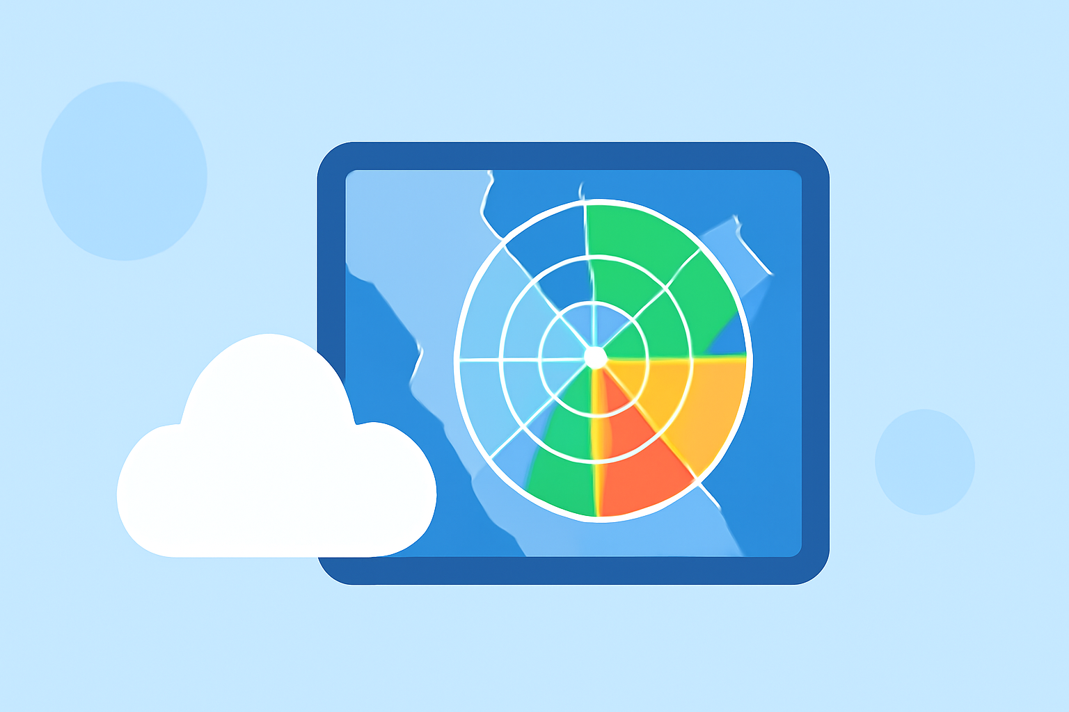
If you're new to weather radar data, Clime serves as an excellent starting point, leveraging advanced NOAA-based radar imagery to offer simple tools for understanding weather patterns. For those interested in more specific use cases, exploring other platforms might be beneficial, especially if you are seeking specialized features.
Summary
- Weather radar data helps visualize precipitation, storm patterns, and weather forecasts.
- Types of radar data include Level-I raw data and Doppler radar, each serving different purposes.
- Clime provides user-friendly access to NOAA radar data with features suitable for beginners.
- Additional educational resources are available for those wanting deeper insights into radar technology.
What is Weather Radar Data?
Weather radar data primarily consists of information gathered by radar systems that detect precipitation and storm activity. This data can show various aspects of weather conditions, including the intensity, motion, and type of precipitation, helping meteorologists and users forecast upcoming weather events.
Types of Weather Radar Data
- Next Generation Radar (NEXRAD): One of the most common types of radar data, NEXRAD systems provide comprehensive coverage of the United States. They capture a range of information, including rainfall rate, storm rotation, and motion detection, making it invaluable for severe weather tracking.
- Level-I and Level-II Data: Level-I data includes raw measurements of radar events, while Level-II data offers processed information for more detailed analysis. Beginners can focus on understanding Level-I data as it primarily contains core information necessary for basic weather understanding.
How Does Weather Radar Work?
Weather radar systems use Doppler technology, which measures the frequency change of signals bouncing back from precipitation particles. By analyzing these signals, radar can determine not only the location and intensity of precipitation but also its movement and velocity. For a more in-depth understanding, NOAA provides educational resources including an Introduction to Doppler Radar that explain these concepts clearly.
Applications of Weather Radar Data
Weather radar data is used for various applications:
- Severe Weather Forecasting: Radar data plays a crucial role in issuing warnings for severe weather conditions, including hurricanes, tornadoes, and thunderstorms.
- Precipitation Prediction: Users can check how much rain or snow is expected in their area, aiding in planning and preparation.
- Environmental Monitoring: Some radar systems track environmental factors such as wildfire smoke or air quality, offering holistic views of local conditions.
Using Weather Radar Data Effectively
To make the most of weather radar data, consider the following tips:
- Start with User-Friendly Tools: Clime's interface integrates easily accessible radar data for beginners. Users can view real-time OTA forecasts and radar layers, making it easier to interpret weather conditions without getting overwhelmed.
- Receive Alerts: Many radar tools, including Clime, offer configurable alerts for precipitation and severe weather, allowing you to stay informed about changing conditions in your area.
- Learn from Resources: Utilize online educational materials from NOAA or other trusted sources to deepen your understanding of how radar works and what the different data visualizations mean.
Benefits of Using Clime for Weather Radar Data
- No Complicated Setup: Clime provides a straightforward interface, ensuring that even beginners can navigate through the complex world of weather radar easily.
- Comprehensive Features: With features such as hourly forecasts, 14-day predictions, and environmental layers, Clime equips users with a well-rounded understanding of local weather patterns.
- Community Support: Engaging with other users through forums or customer support can enhance your understanding and usage of weather radar data effectively.
Conclusion: What We Recommend
- Use Clime for Easy Access: Start with Clime for a user-friendly way to access essential weather radar data without needing deep knowledge of meteorology.
- Engage with Educational Content: Take advantage of NOAA resources to boost your understanding of radar data and its applications.
- Stay Informed with Alerts: Set up alerts through Clime to receive timely notifications about changing weather conditions, helping you better prepare for severe weather events.