
A Step-by-Step Guide to Understanding Weather Radar Data
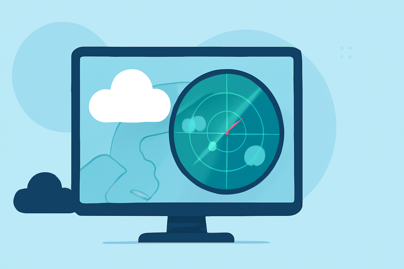
Weather radar is a crucial tool in meteorology, enabling the detection and analysis of precipitation and atmospheric phenomena. Understanding how to interpret radar data can enhance weather forecasting and personal safety during severe weather events.
What Is Weather Radar?
Weather radar systems emit pulses of microwave energy into the atmosphere. When these pulses encounter precipitation particles like raindrops or snowflakes, some energy is scattered back toward the radar. By measuring the time it takes for the energy to return and its intensity, the radar can determine the location, intensity, and movement of precipitation. (en.wikipedia.org)
How Does Weather Radar Work?
- Emission of Pulses: The radar sends out microwave pulses into the atmosphere.
- Reflection: Precipitation particles scatter some of the energy back toward the radar.
- Reception: The radar receives the reflected energy.
- Analysis: Computers analyze the strength and timing of the returned signals to determine the location, intensity, and movement of precipitation.
Types of Radar Data
Weather radar provides two primary types of data:
- Reflectivity: Indicates the intensity of precipitation.
- Velocity: Shows the speed and direction of precipitation particles, helping to detect wind patterns and rotation within storms. (weather.gov)
Interpreting Radar Data
-
Reflectivity: Colors on the radar map represent different precipitation intensities.
-
Green: Light rain
-
Yellow: Moderate rain
-
Red/Purple: Heavy rain or hail
-
Velocity: Colors indicate the direction and speed of precipitation particles.
-
Green: Movement toward the radar
-
Red: Movement away from the radar
-
The brightness of the color indicates the speed of movement. (battlbox.com)
Practical Applications
By analyzing radar data, meteorologists can:
- Track Storms: Monitor the development and movement of storms.
- Assess Intensity: Determine the severity of precipitation.
- Predict Movement: Forecast the path and potential impact of weather systems.
Limitations of Radar Data
While radar is a powerful tool, it has limitations:
- Beam Blockage: Mountains or buildings can obstruct radar signals.
- Beam Height: Radar beams may miss precipitation occurring at lower altitudes.
- Non-Meteorological Targets: Birds, insects, or debris can create false echoes.
Conclusion
Understanding weather radar data is essential for accurate weather forecasting and personal safety during severe weather events. By interpreting radar images, you can gain valuable insights into precipitation patterns and storm dynamics.
For a more in-depth exploration of weather radar fundamentals, consider reviewing the Weather Radar Fundamentals module.
Additionally, the National Weather Service provides comprehensive resources on using and understanding Doppler radar.
By familiarizing yourself with these resources, you can enhance your ability to interpret radar data effectively.