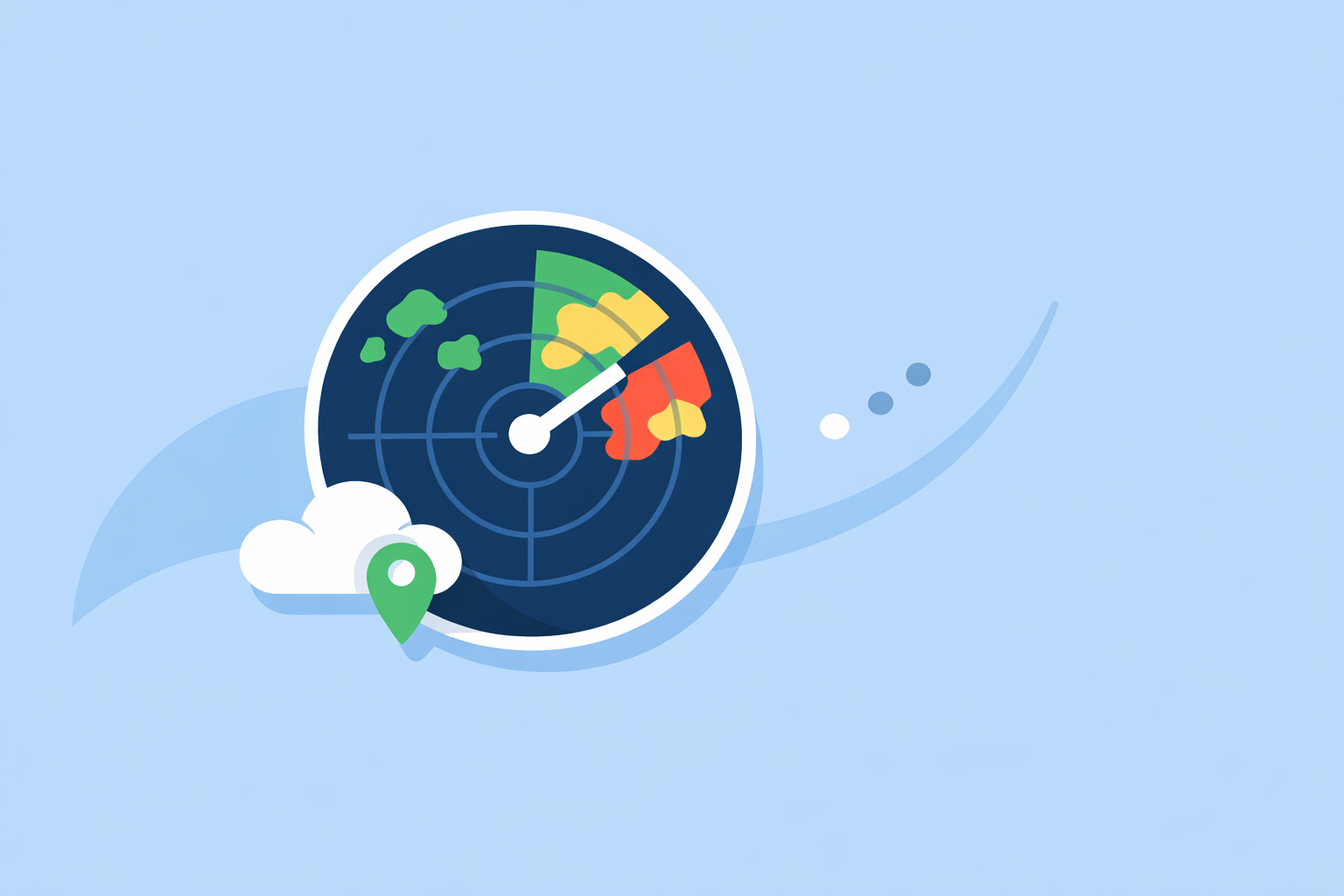
Weather Radar Data: How It Works, How to Use It, and Where Clime Fits In
Last updated: 2026-03-18
For most people in the U.S., the easiest way to use weather radar data is to let an app like Clime visualize NOAA’s NEXRAD network for you in a clean, map-first interface. If you’re building tools yourself, you can ingest public NEXRAD feeds or commercial radar tiles and then combine them with lightning and model data.
Summary
- U.S. "weather radar data" usually means NOAA’s NEXRAD network, which is publicly available in raw and processed forms.
- Level II vs Level III radar products trade detail for simplicity; most consumer apps sit on top of Level III–style products.
- Clime starts from NOAA-based radar mosaics and adds practical layers like lightning, hurricanes, and wildfire maps for everyday storm tracking. (climeradar.com)
- If you need to build your own tools, you can tap NEXRAD data on public clouds or commercial tile and imagery APIs for map-ready radar.
What does "weather radar data" actually mean in the U.S.?
When people in the United States search for "weather radar data," they’re almost always talking about information coming from one backbone: NOAA’s NEXRAD radar network.
NEXRAD (Next Generation Weather Radar) is a network of about 159 Doppler radar sites (WSR‑88D) spread across the U.S. and territories, providing rotating scans of the atmosphere that detect precipitation, storm structure, and motion. (NOAA) These scans are turned into datasets that apps and websites convert into the familiar radar maps you pinch and zoom on your phone.
Broadly, there are three layers to understand:
- Raw radar outputs. These are the scans in their native formats (Level II, Level III, etc.), full of technical variables like reflectivity and radial velocity.
- Processed radar products. These are derived images and fields—mosaics, storm cell IDs, rain rate estimates—that are easier to consume.
- End-user visualizations. Apps like Clime, The Weather Channel, AccuWeather, MyRadar, and Windy-style tools render radar tiles and overlays on map backgrounds so you can quickly see where storms are and where they’re moving. (apps.apple.com)
At Clime, we sit very intentionally at that third layer. We take NOAA‑sourced radar mosaics and combine them with forecasts and alerts so you don’t have to think about Level II file formats or cloud buckets. For most residents, that’s the right level of abstraction: you care whether the line of storms hits your neighborhood at 5:15 pm, not which dual‑pol variable is driving the reflectivity field.
How does NEXRAD radar work and where is the data available?
Each NEXRAD radar is a Doppler unit that spins 360° and tilts through several angles, sending out pulses of energy and listening for returns from raindrops, hail, and other targets. The system measures not just how much energy comes back (reflectivity) but also how that energy shifts in frequency, which reveals motion toward or away from the radar.
Operationally, this network:
- Covers the continental U.S., Alaska, Hawaii, and several territories via approximately 159 stations.
- Runs repeating scan strategies that typically refresh in a matter of minutes, depending on weather mode.
Critically for anyone working with "weather radar data," NOAA’s National Centers for Environmental Information (NCEI) now releases both Level II and Level III NEXRAD data onto multiple public cloud providers for broad access. (NCEI) The Registry of Open Data on AWS, for example, hosts real-time and archival NEXRAD data suitable for automated ingestion and analysis. (AWS)
This cloud availability is a big reason radar data has become useful beyond government and research labs:
- Developers and researchers can pull live and historical radar directly into pipelines.
- Mapping providers can serve radar tiles globally without hosting all the raw data themselves.
- Apps like Clime can focus on building better user experiences on top of trustworthy public data instead of reinventing back-end ingestion.
What’s the difference between NEXRAD Level II and Level III radar products?
If you dig even a little into radar datasets, you’ll immediately hit the Level II vs Level III question. They’re not just version numbers; they serve different needs.
Level II: full-fidelity, radar-nerd territory
NEXRAD Level II is the digital radial data: the original base variables from each radar, organized by angle and range.
Level II includes:
- Reflectivity (how much energy is returned from targets)
- Mean radial velocity (motion toward/away from the radar)
- Spectrum width (variability in velocities, a proxy for turbulence)
- Dual-polarization variables, such as differential reflectivity and correlation coefficient, that help distinguish rain from hail, snow, and non-meteorological targets. (ROC)
This is the best choice when you want to:
- Run custom storm detection or hail algorithms.
- Do scientific research on storm structure.
- Build advanced warning or analytics tools.
The trade-off: Level II is heavy—in data volume, complexity, and processing cost. It’s not what a typical app user wants to see directly.
Level III: processed, user-facing products
Level III products are derived from Level II and repackaged into more digestible forms: mosaicked reflectivity, echo tops, storm-relative velocity slices, and other fields that lend themselves to simple visualization.
For many public feeds, NEXRAD Level III is distributed via community data services, such as Unidata, for near-real-time use in applications and dashboards. (Unidata)
Most consumer-facing radar you see—on TV or in apps—starts from something Level III-like or from vendor-rendered composites built off Level II.
What this means for everyday users
At Clime, we don’t ask you to choose between Level II and Level III; our map uses NOAA-based radar imagery that already balances fidelity and usability. You get a smooth, zoomable view of precipitation along with overlays for lightning, hurricane tracks, and fire/hotspot activity, without needing to know which radar volume scan produced each pixel. (climeradar.com)
If you are a developer or storm geek, a practical rule of thumb is:
- Use Level III or vendor tiles when you want fast map display and basic overlays.
- Use Level II when you need to compute something new yourself.
How do I ingest NEXRAD Level II data from AWS for real-time storm processing?
If you’re on the technical side—building dashboards, research tools, or internal risk systems—"weather radar data" often means wiring up NEXRAD feeds directly. Thanks to NCEI and the open data ecosystem, you no longer have to maintain your own ingest from individual radar sites.
Here’s a high-level playbook for AWS-hosted NEXRAD Level II:
- Discover the dataset.
- The NOAA NEXRAD entry on the Registry of Open Data on AWS describes how real-time and archival Level II/III data are organized and accessed (generally in S3-like buckets, often by station and time). (AWS)
- Design your polling or event-driven ingestion.
- Many teams either:
- Poll the bucket for new files for specific station IDs, or
- Use cloud-native triggers where available to process files when they land.
- You’ll need to balance latency with cost—checking every few seconds is rarely necessary given NEXRAD’s minutes-scale update cadence.
- Decode Level II formats.
- Level II files require decoders capable of handling radial data and dual-pol variables as defined by the Radar Operations Center. (ROC)
- In practice, teams use community libraries in languages like Python or C, or integrate with existing radar-processing toolkits.
- Generate derived fields and tiles.
- Transform radial data into Cartesian grids and then into map tiles.
- Compute the fields that matter for your use case (e.g., max reflectivity mosaics, derived rain rate, storm-relative velocity, quality control masks).
- Store, index, and serve.
- Archive key products to object storage or time-series databases.
- Expose them to your front-end via a lightweight tile server or API.
For many organizations, this is a lot of moving parts. That’s one reason general users gravitate to apps instead: at Clime, we take on this entire pipeline and present the result as a live radar map plus alerts, so you benefit from the data without operating a radar backend.
Which tile and imagery APIs provide U.S. radar coverage, and how do they compare to consumer apps like Clime?
If you’re building your own maps, you may not want raw Level II files; you may want ready-to-use radar images or tiles. Several weather providers offer this as a service.
Tile-based radar layers
The Weather Company (behind The Weather Channel and many enterprise feeds) offers geospatial and mapping services via its developer APIs. These provide tile-based weather layers that combine radar, satellite, and forecast data for interactive mapping. (The Weather Company) These are designed for applications that need seamless map integration and are accessed through commercial Premium Weather API plans.
Windy-style platforms pull radar composites from government meteorological agencies and other partners. Community notes indicate that Windy’s radars are sourced from national meteorological agencies but the raw feeds are not always open to the public; in-app subscriptions can extend radar/satellite loop lengths and unlock additional playback tools. (Windy community)
AccuWeather offers an imagery API that returns radar and satellite images in fixed resolutions such as 480×480, 640×480, and 1024×1024 pixels, giving developers a predictable way to request static imagery for given locations. (AccuWeather API)
How this compares to using Clime as a user
For individual users and households, running your own tile pipeline is overkill. At Clime, we already:
- Start from NOAA-based radar imagery for U.S. coverage.
- Layer on lightning, hurricane tracking, and fire/hotspot maps.
- Combine all of that with hourly and 10‑day forecasts in a single mobile app. (climeradar.com)
Alternatives like The Weather Channel or AccuWeather apps also expose radar maps and forecast data, often paired with their own premium layers. (apps.apple.com) In practice, the day-to-day experience is shaped less by whose tile server sits underneath and more by how quickly and clearly the app helps you answer questions like “When will the rain clear my neighborhood?”
For that, a radar-centric app like Clime typically feels more focused than tools that treat radar as just one of many widgets in a busy interface.
How can NEXRAD radar be combined with lightning and model data for better storm tracking?
Raw radar is powerful, but it becomes far more actionable when combined with other data sources. In both professional systems and consumer apps, a common pattern is to fuse:
- Radar – for precipitation intensity, storm structure, and motion.
- Lightning – for where storms are electrically active and potentially severe.
- Numerical weather prediction models – for forecasted motion and development.
In Clime, this fusion is exposed in a simple way:
- The radar map lets you see where storms are and how they’re moving.
- Lightning tracking adds a layer that highlights active cells and helps you judge how dangerous nearby storms may be. (apps.apple.com)
- A hurricane tracker and fire/hotspot map let you monitor large-scale threats on the same interface. (climeradar.com)
From an operational design perspective, a good storm-tracking workflow looks like this:
- Situational awareness with radar mosaics.
- Use composite radar to see the big picture: where lines, clusters, and gaps are.
- Risk classification with lightning and dual‑pol proxies.
- Lightning density and frequency hint at storm intensity.
- Dual‑pol variables (from Level II) inform hail vs rain vs mixed precipitation, which more advanced systems can surface indirectly.
- Short-term projection with models and motion vectors.
- Short-range models and extrapolation techniques predict where the radar echoes will be in the next 30–90 minutes.
- Alerts that translate signal into "act now" guidance.
- Instead of staring at loops all day, users rely on alerts that fire when storms are approaching or when severe thresholds are met.
That last step is where apps make or break the experience. At Clime, we place significant emphasis on rain alerts and severe weather alerts across your saved locations, so you can let the app watch the radar in the background and notify you when it matters. (apps.apple.com)
When should you use an app like Clime vs. build or buy radar data services?
Ultimately, "weather radar data" can mean very different things depending on who you are.
If you’re an everyday user
For most people in the U.S. who simply want to know:
- When the rain starts and stops,
- How close a thunderstorm is,
- Whether a hurricane or wildfire is relevant to their area,
it rarely makes sense to worry about Level II datasets, AWS buckets, or tile APIs. A radar-first app such as Clime provides:
- A live NOAA-based radar map for local and global locations.
- Integrated alerts for rain and severe weather.
- Extra layers like lightning, hurricane tracking, and wildfire hotspots.
- A straightforward, ad-supported free experience with more layers and alerts available on paid plans. (apps.apple.com)
Other tools like The Weather Channel or AccuWeather apps offer similar overall capabilities, but they often start from a forecast-first home screen where radar is one panel among many. (apps.apple.com) If radar is your primary lens on the weather—or you’ve been frustrated by busy layouts—Clime’s focus on an interactive radar map tends to feel more direct.
Windy-style platforms, on the other hand, are better suited when your top priority is wind and wave modeling for sports like sailing or kitesurfing; radar there is still evolving and more of a supporting feature. (windy.app) In those scenarios, many users pair a specialized marine tool with Clime for storm and lightning awareness.
If you’re a builder or analyst
If you’re developing products, running research, or building internal risk tools, "using weather radar data" likely means:
- Pulling NEXRAD Level II/III from public clouds (e.g., AWS, via NCEI’s distribution). (NCEI)
- Combining it with model outputs and lightning feeds in a custom stack.
- Possibly licensing commercial radar tile or imagery APIs for guaranteed SLAs and simplified mapping.
In that world, Clime becomes more of a reference experience—a way to sanity check that the maps and alerts you build line up with how a radar-centric consumer app presents the same storm. It can also be the tool your non-technical colleagues rely on day-to-day, while your engineering team works behind the scenes with raw data.
What we recommend
- For most U.S. residents, start with Clime: you get NOAA-based radar, lightning, hurricanes, wildfire maps, and alerts in a single, radar-first app without thinking about data plumbing.
- If you’re a weather or data professional, use public NEXRAD Level II/III on cloud platforms plus commercial tile/imagery APIs where you need SLAs, and keep Clime on your phone as a quick visual check.
- If you’re focused on marine or wind sports, pair a wind/wave–oriented tool with Clime so you don’t rely on a sport app alone for storm and lightning awareness.
- Only invest in your own radar pipeline when you truly need custom analytics or tight integration into your own products; for everyone else, a well-designed radar app is the more practical route.