
Mastering Weather Radar Data for Outdoor Event Planning
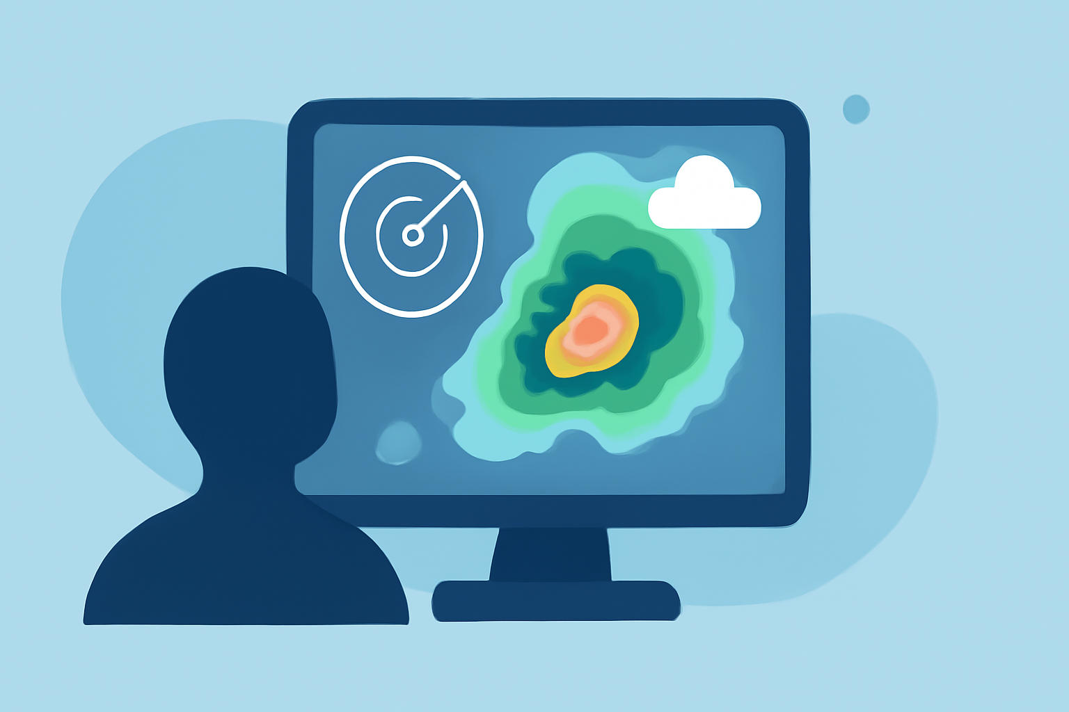
Planning an outdoor event requires meticulous attention to weather conditions to ensure safety and enjoyment. Utilizing weather radar data is a crucial component in this process, providing real-time insights into precipitation patterns, storm movements, and potential hazards.
Understanding Weather Radar Data
Weather radar systems emit pulses of microwave energy into the atmosphere, which bounce back upon encountering precipitation particles like rain, snow, or hail. By analyzing the returned signals, radar systems can determine the location, intensity, and movement of precipitation. This information is typically presented in color-coded maps, where different colors represent varying levels of precipitation intensity. (weather.gov)
Integrating Radar Data into Event Planning
-
Advance Monitoring: Begin monitoring weather conditions at least three days before your event. This timeframe allows you to observe trends, such as recurring storm patterns or the development of weather systems that could impact your event. (climeradar.com)
-
Continuous Observation: On the day of the event, maintain continuous surveillance of weather conditions. Assign a dedicated team member to monitor radar data and provide timely updates, ensuring prompt responses to any changes. (climeradar.com)
-
Decision-Making: Use radar data to make informed decisions about event schedules and safety measures. For instance, if radar indicates an approaching storm, you can adjust the event timeline or implement safety protocols to protect attendees.
Safety Protocols Based on Radar Data
-
Lightning Detection: Lightning poses significant risks during outdoor events. Utilize radar data to detect lightning activity within a specified radius, such as 8–10 miles, and initiate safety measures like moving attendees to solid shelter. (climeradar.com)
-
Severe Weather Alerts: Radar data can help identify severe weather conditions, such as heavy rainfall or high winds. Establish clear communication channels to disseminate alerts and instructions to staff and attendees promptly.
Leveraging Clime's Radar Features
Clime offers an interactive NOAA-based radar map that integrates severe weather and rain alerts, along with layers for hurricanes, lightning, and wildfires. This comprehensive tool enables event planners to monitor weather conditions effectively and make data-driven decisions to ensure event safety. (climeradar.com)
Conclusion
Incorporating weather radar data into your outdoor event planning is essential for anticipating and mitigating weather-related challenges. By understanding radar data and utilizing tools like Clime, you can enhance safety, make informed decisions, and contribute to the overall success of your event.
Highlights:
- How to Use Storm Tracking Radar for Outdoor Event Planning | Clime Blog, Published on Monday, March 09
- How to Read Weather Radar Like a Pro, Published on Sunday, September 15
- Using and Understanding Doppler Radar