
Weather Radar Data Tips for Commuters in the United States
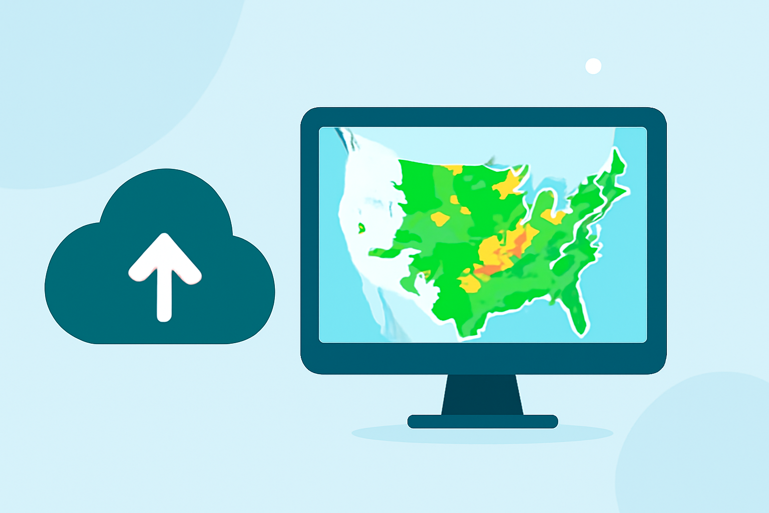
Commuting in the United States often involves navigating through diverse and unpredictable weather patterns. Utilizing weather radar data can significantly enhance your ability to plan your journey and ensure safety.
Understanding Weather Radar Data
Weather radar systems, such as the Next Generation Weather Radar (NEXRAD), operate across the U.S., providing real-time information on precipitation, wind patterns, and storm development. These radars detect atmospheric conditions, allowing for the tracking and anticipation of weather events like rain, snow, hail, and tornadoes. (ncei.noaa.gov)
Accessing Weather Radar Data
For commuters, accessing timely and accurate weather radar data is crucial. The National Weather Service (NWS) offers an interactive radar map that displays real-time precipitation and storm information across the country. (radar.weather.gov) Additionally, the National Centers for Environmental Information (NCEI) provides access to archived NEXRAD Level-II data and Level-III products, which can be valuable for understanding historical weather patterns. (ncei.noaa.gov)
Utilizing Weather Radar Data for Commuting
-
Pre-Commute Planning: Before heading out, check the NWS radar map to identify any precipitation or severe weather along your route. This proactive approach allows you to adjust your departure time or choose an alternative route if necessary.
-
Real-Time Monitoring: During your commute, periodically consult the radar map to stay updated on changing weather conditions. This can help you anticipate sudden weather changes and make informed decisions, such as seeking shelter during a storm.
-
Post-Commute Analysis: After your journey, review the radar data to understand the weather patterns you encountered. This analysis can assist in future planning and help you become more attuned to local weather trends.
Additional Resources
For commuters seeking more detailed information, the NCEI's Weather and Climate Toolkit offers data access and visualization services for weather and climate data. (ncei.noaa.gov) Additionally, the Commerce Data Hub provides information on weather radar stations, which can be useful for understanding the coverage and capabilities of radar systems in your area. (data.commerce.gov)
Conclusion
Incorporating weather radar data into your daily commuting routine can enhance your preparedness and safety. By understanding how to access and interpret this information, you can make informed decisions and navigate adverse weather conditions with confidence.
Highlights:
- Next Generation Weather Radar (NEXRAD) | National Centers for Environmental Information (NCEI)
- NOAA Next Generation Radar (NEXRAD) Level 2 Base Data
- Radar | National Centers for Environmental Information (NCEI)