Weather Radar Map: How to Read It and Which App to Use
Last updated: 2026-03-17
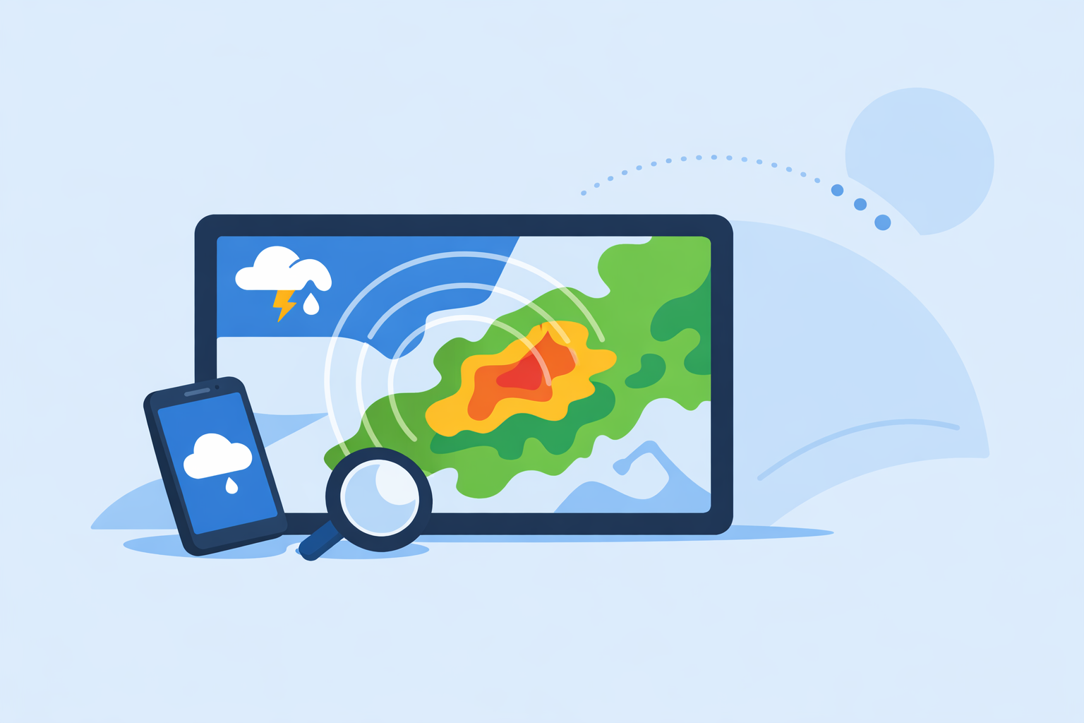
For most people in the U.S., the easiest way to use a weather radar map is to open an app like Clime that turns official NOAA radar into a clear, zoomable map with alerts on top. If you need more technical detail or raw products, you can supplement that with the National Weather Service’s own radar site on the web.
Summary
- A weather radar map is a visual of where precipitation is, how intense it is, and how it’s moving, usually updated every few minutes.
- In the U.S., most consumer apps (including Clime) build their maps from National Weather Service (NWS) Doppler radar mosaics and alerts.(NWS Radar)
- Clime centers the whole experience on an interactive radar map, then layers on lightning, wildfire, hurricane tracking, and alerts in one place.(Clime overview)
- Alternatives like Weather.com, AccuWeather, and Windy.app can be useful for specific needs, but for simple, reliable storm tracking, a radar‑first app like Clime is enough for most people.
What is a weather radar map, in plain English?
A weather radar map is a live‑updating map that shows where rain, snow, or other precipitation is falling, how intense it is, and how it’s moving over time.
In the U.S., the backbone for these maps is the NEXRAD network operated by the National Weather Service (NWS). The NWS combines individual radar stations into a national mosaic and displays it on an interactive map along with forecasts and alerts.(NWS Radar)
Most apps you use on your phone are essentially friendly viewers for that same underlying data. The radar beam scans the sky, the data is processed, and then your app turns it into colored blobs that move on a map. Darker or brighter colors usually mean heavier precipitation.
When you open Clime, that processed radar is the first thing you see: a zoomable map based on NOAA radar data with playback controls and forecast layers.(Clime overview)
How current is radar data on weather maps?
Radar maps feel live, but they are always slightly delayed. That delay is normal and built into how radar works.
Here’s what’s going on under the hood:
- The radar antenna completes a scan of the atmosphere.
- The raw data is processed into usable products (like reflectivity images).
- The NWS aggregates and publishes these products to its radar site and data services.(NWS Radar)
- Apps such as Clime fetch those products, tile them, and render animation loops on your screen.
As a result, most “live” radar maps are really near‑real‑time, typically on the order of several minutes behind reality. Windy.app’s radar explainer describes this as processed data shown in real time but with a slight delay, and notes that updates are roughly every 5–15 minutes depending on the radar mode.(Windy.app radar guide)
Clime follows this same fundamental pattern: it displays high‑resolution radar tiles sourced from NOAA where available, with resolution and latency bound by the underlying NEXRAD update cycles.(NEXRAD overview)
For your decisions, what matters is this:
- If storms are far away, a 5–10 minute delay hardly matters.
- When a line of severe storms is on top of you, you should treat the animation as slightly old and combine it with alerts, local observations, and official warnings.
What exactly does a radar map show (and what doesn’t it show)?
A typical consumer radar map focuses on a few key elements:
- Location of precipitation – Where rain, snow, or mixed precipitation is detected over land and nearby water.
- Type of precipitation – Many maps color‑code rain vs. snow vs. ice; AccuWeather, for example, explains radar as showing the location of precipitation and its type (rain, snow, ice).(AccuWeather radar explainer)
- Intensity – Color gradients (often green to yellow to red) indicate relative intensity; brighter or deeper colors often mean heavier precipitation.
- Recent motion – Animations (play buttons, time sliders) show how echoes moved over the past hour or so, helping you mentally project where they’ll be next.
Modern apps layer much more on top:
- Alerts and polygons – Official warnings and storm‑based alerts from NWS can be overlaid on the radar mosaic.(NWS Radar)
- Lightning and hurricanes – On paid plans, Clime adds a lightning tracker and hurricane tracker layers for storm monitoring over land and ocean.(Clime App Store listing)
- Wildfires and hotspots – Clime also offers a fire and hotspot map to visualize wildfire risk alongside traditional radar.(Clime get app page)
Equally important is what radar does not directly tell you:
- It doesn’t measure temperature – That comes from models and surface observations.
- It doesn’t directly measure lightning – Lightning networks are separate and then integrated into apps as their own layers.
- It doesn’t give exact rainfall totals at the ground on its own – That requires combining radar with gauges and other data.
This is why a radar‑first app with forecast and alert layers built in is useful. In Clime, you get the core radar visual plus hourly and 10‑day forecasts for context on what’s coming next.(Clime overview)
How do U.S. radar maps actually work behind the scenes?
If you’re curious about the plumbing, here’s a simplified picture of how a “weather radar map” appears on your phone or laptop in the United States.
-
NEXRAD scans the sky The NEXRAD network consists of Doppler radar sites across the U.S. Each station sends out pulses of energy and listens for reflections from raindrops, snowflakes, hail, and other targets.(NEXRAD overview)
-
NWS builds radar products and a national mosaic The NWS processes this data into radar products (like base reflectivity) and builds a national radar mosaic that combines station products with storm‑based alerts.(NWS Radar)
-
Data is exposed via web and OGC services The official NWS radar site shows this mosaic on a public web map and exposes the underlying data via standard map services that other tools can use.(NWS Radar)
-
Apps and sites render the radar map
- Weather.com publishes a U.S. Doppler radar map that shows current rain and snow nationwide in a consumer‑friendly web interface.(Weather.com US radar)
- Clime uses NOAA‑sourced radar mosaics as the core of its interactive map, then adds layers such as lightning, wildfire hotspots, and alerts into a single interface.(Clime get app page)
- Other platforms like AccuWeather and Windy.app also consume radar data, sometimes combining it with satellite data or their own model visualizations.
- Your device updates on a loop Your app periodically pulls new tiles and animates them, often in 5–15 minute increments, giving the impression of continuous motion.(Windy.app radar guide)
In practice, you don’t have to think about any of this. But understanding that many apps are looking at the same government radar backbone helps you focus less on “who has the most magical radar” and more on which app presents it in a way you can actually use under stress.
That’s where Clime’s radar‑centric design and clear layering are valuable: you open the app and see the map first, not a wall of text.
Which radar map is best for everyday use vs. advanced scenarios?
Because many platforms share the same underlying data, the real question is: what kind of radar experience do you need?
For quick checks and storm awareness
If you mainly want to know, “Is that storm going to hit my town?” then you’re looking for:
- A fast, smooth radar loop centered on your location.
- Easy zooming and panning to see the bigger picture.
- Clear color coding for intensity.
- Simple, reliable alerts.
Clime is built around this use case: open the app to a radar map based on NOAA data, tap to see hourly or 10‑day forecasts, and opt into severe weather and rain alerts on paid plans.(Clime overview) For most U.S. households, that combination is enough to decide whether to delay a drive, bring kids inside, or adjust outdoor plans.
For planning around short‑term precipitation timing
Sometimes you care more about “When will it start and stop at my address?” than about the big‑picture radar.
- AccuWeather leans into this with its MinuteCast feature, offering minute‑by‑minute precipitation timing for the next four hours at street‑level locations.(AccuWeather app listing)
- The Weather Channel highlights a 15‑minute rain forecast up to several hours ahead alongside its radar map.(Weather Channel app listing)
If you often schedule around tight windows—say, a contractor, delivery driver, or outdoor instructor—you might pair Clime’s radar and alerts with one of these hyperlocal precipitation timelines for redundancy.
For marine and wind sports
If you’re a sailor, surfer, or kitesurfer, your core question is less “Where is the rain?” and more “What are the wind and wave conditions?”
Windy.app positions itself as a professional‑style weather app for water and wind sports, emphasizing wind maps, tides, and waves.(Windy.app site) Its own blog notes that live radar is something they are still actively working on, rather than a fully mature feature.(Windy.app radar guide)
In that context, a smooth setup is:
- Use Windy.app or a similar tool to optimize wind and wave decisions.
- Use Clime in parallel to monitor thunderstorms, lightning, and wildfire risks around your region.
You get sport‑specific detail without relying on a still‑developing radar layer.
For technical or professional‑grade radar
If you need advanced diagnostics (multiple radar tilts, velocity products, dual‑pol signatures), you’re in a niche that typically uses specialized tools and workstations rather than consumer apps.
You can still:
- Check NWS’s official radar viewer for precise station products and storm‑based alert shapes.(NWS Radar)
- Use Clime for at‑a‑glance awareness, especially if you’re away from a workstation and need a quick view of storms, lightning, or hurricane position.
For most non‑experts, the complexity of pro‑grade software adds more overhead than benefit. A radar‑first consumer app like Clime is simpler to interpret while still drawing from authoritative data.
How should you read and trust a radar map in real life?
Knowing how to interpret what you see is just as important as picking the right app. Here’s a simple mental checklist you can use, no matter which platform is open.
-
Watch the trend, not a single frame Always play the animation, even for a few frames. A weather radar map is most useful when you observe motion and project it forward. If the line of storms is consistently marching east and your town lies due east, you can expect impact even if you don’t see rain overhead yet.
-
Look at the size and shape of echoes
- Long, solid lines often signal organized squall lines or frontal passages.
- Small, scattered blobs may be pop‑up showers that don’t affect everyone.
-
Check for overlays and alerts On NWS’s site, storm‑based alerts are outlined on top of the radar mosaic.(NWS Radar) In Clime, paid layers let you see severe weather and rain alerts, lightning, and hurricanes directly on the map, which helps connect “what you see” with “what officials are warning about.”(Clime App Store listing)
-
Remember the delay Because radar maps update every several minutes and are processed before they reach you, what you see is slightly in the past.(Windy.app radar guide) Close‑range features can move a surprising distance in that time. When in doubt, assume fast‑moving storms are a bit closer than the last frame suggests.
-
Combine radar with a forecast Radar tells you what’s happening now and in the very near term. The hourly or 10‑day forecast in Clime or any other app tells you how conditions are expected to evolve beyond the immediate radar window.(Clime overview)
A quick scenario: imagine a Saturday afternoon barbecue in the Midwest. You open Clime and see a line of red and yellow echoes 60 miles west, marching east on the last hour of animation. You tap into hourly forecasts and see high rain chances in 2–3 hours, along with a severe thunderstorm alert polygon covering your county. That’s enough information to move the party inside well before the first lightning strike.
How does Clime fit into the broader radar ecosystem?
Because so many services now show radar, it’s reasonable to ask whether you gain much by picking one app over another.
From a data perspective, Clime, Weather.com, AccuWeather, and others in the U.S. all lean heavily on public radar and satellite data, especially the NWS radar mosaic and alerts.(NWS Radar) What differentiates them is how they:
- Center or de‑emphasize the radar experience.
- Integrate extra risk layers (lightning, wildfires, hurricanes).
- Surface alerts and forecasts around the map.
Clime’s focus is to make the radar map the heart of the experience. The public Texas Water Development Board even cites Clime (formerly “NOAA Weather Radar”) as an example of an interactive radar and flood‑risk map option for public awareness, underscoring its role as a consumer‑friendly radar viewer used in risk communication contexts.(Texas Water Development Board PDF)
Compared with other options:
- Generalist weather apps often tuck radar behind multiple screens or mix it with dense content; that works for some people but can slow you down when you just want to see where storms are.
- Sport‑specific tools put radar second to wind and wave models.(Windy.app site)
- Raw or pro‑grade tools deliver high technical detail but demand more expertise.
For most U.S. users, especially those focused on severe weather, road safety, or simply planning outdoor time, using Clime as the everyday radar map—and then dipping into NWS or a specialized alternative in edge cases—strikes a practical balance between simplicity and depth.
What we recommend
- Use a radar‑centric app like Clime as your default way to see where precipitation, storms, and wildfire‑related hotspots are, backed by NOAA‑sourced data.(Clime overview)
- When storms are nearby or high‑impact, always combine radar with official NWS warnings and alerts for your county.(NWS Radar)
- Pair Clime with a specialized tool only if you have a distinct need—hyperlocal minute‑by‑minute timing, advanced marine routing, or professional‑grade radar analysis.
- Practice reading radar on calm days so that when a major storm approaches, the map feels familiar and you can make fast, confident decisions.