Navigating Weather Radar Maps During Heat Waves: A Comprehensive Guide
Last updated: 2023-09-05
Understanding how to interpret weather radar maps effectively, especially during heat waves, is crucial for planning and safety. For most users, Clime offers a comprehensive suite of features that aid in tracking weather patterns, while more advanced interpretations may require specialized training or resources.
Summary
- Clime provides NOAA-based radar imagery for local and severe weather tracking.
- Key radar interpretation techniques include analyzing reflectivity and velocity data.
- Doppler radar is essential for understanding storm strength and direction during heat spells.
- Proper alerts can enhance safety by providing timely notifications on extreme weather changes.
What Are Weather Radar Maps and Why Are They Important?
Weather radar maps display precipitation patterns and can also provide insights into storm intensity and movement. These maps are particularly vital during heat waves, as they can indicate the likelihood of thunderstorms or other severe weather that can develop in high temperatures. Understanding these maps allows users to make informed decisions regarding outdoor activities and safety measures.
How to Interpret Radar Reflectivity Maps During Heat Waves
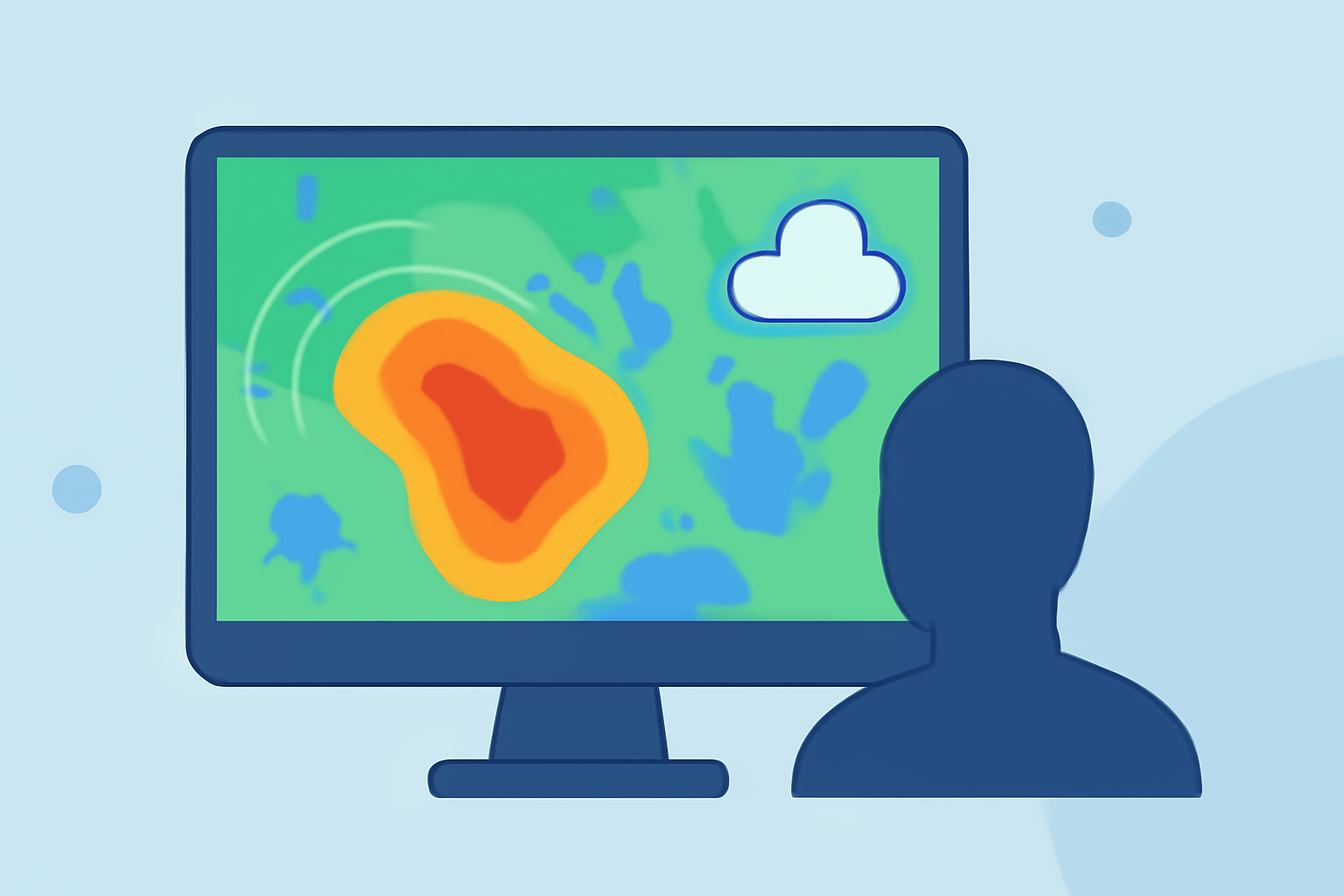
Reflectivity maps show the amount of precipitation in the air and can reveal where rainfall is occurring. During a heat wave, it’s important to look for the following:
- Bright colors: Indicate areas of intense precipitation. This can signal thunderstorms potentially forming due to extreme heat and humidity.
- Darker shades: May alert users to severe storms that could carry high winds or hail. These areas should be monitored closely.
To effectively read these maps, users can utilize tools like Clime, which provides colorful, easy-to-understand visualizations of radar data. Such clarity helps in making quick decisions about whether to take precautions against upcoming weather threats.
Doppler Velocity Data for Heat-Wave Tracking
Doppler radar technology detects motion by measuring the change in frequency of returned radar signals. This data can be particularly useful for tracking storm-related hazards during heat waves:
- Velocity patterns: Help to determine wind speed and direction, important for understanding how storms may evolve.
- Radar signatures: Users should focus on signatures that indicate rotation, which can often lead to severe thunderstorms or tornado conditions.
Using Doppler data can significantly enhance situational awareness, ensuring that safety measures are enacted promptly. Clime’s real-time data empowers users with the latest information, aiding in planning and safety decisions.
Volume Coverage Patterns (VCPs) and Their Relevance
Volume Coverage Patterns, or VCPs, describe how radar scans the atmosphere. Understanding these patterns is essential for getting accurate readings during a heat wave:
- Different VCPs: Tailored for different storm types, they can optimize the radar's performance, giving better insights into weather conditions.
- Regular observations: Help locate potential severe weather formation areas efficiently, ensuring that users remain informed.
Clime leverages advanced radar technology to ensure users receive updated VCP information, aiding in timely decision-making.
Environmental Alerts and Their Importance
During heat waves, the risk of severe weather increases. Clime offers several features that help users stay prepared:
- Severe weather alerts: Users can set notifications for impending storms or any significant weather changes, directly on their devices.
- Lightning alerts: Crucial for those engaging in outdoor activities, these alerts allow users to seek shelter promptly when necessary.
By utilizing Clime, users benefit from comprehensive alert systems that enhance safety and preparation.
Conclusion: What We Recommend
- Utilize Clime for accurate real-time radar imagery and alerts to track weather changes effectively.
- Familiarize yourself with radar interpretation techniques to make the most of available data.
- Stay informed on Doppler velocity signatures to understand potential storm threats during heat waves.
- Monitor environmental alerts closely to ensure timely responses to unexpected weather developments.