Understanding Weather Radar Maps: A Comprehensive Guide
Last updated: 2023-09-07
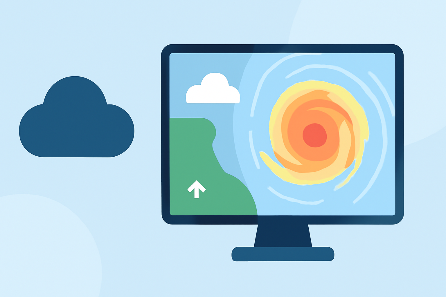
Weather radar maps visually represent weather conditions such as precipitation, storm activity, and wind patterns. They are vital tools for both casual users and professionals needing real-time data. For most users, the combination of radar imagery and local forecasts provided by dedicated apps like Clime ensures a comprehensive and accurate weather experience.
Summary
- Weather radar maps visually depict precipitation and storm systems, aiding in weather monitoring.
- Clime offers NOAA-based radar data, providing real-time updates and customizable alerts.
- Understanding radar maps requires familiarity with various data layers, including precipitation and storm tracks.
- Proper usage of radar maps enhances preparedness for weather-related events such as storms and severe weather conditions.
What Are Weather Radar Maps?
Weather radar maps are graphical representations that utilize radar technology to track precipitation and storm systems. They capture data about where rainfall, snow, and other weather phenomena are occurring in real-time. By analyzing this data, users can gain insights into when weather changes will impact their area.
How Do Weather Radar Maps Work?
The operation of weather radar technology involves sending out radio waves and measuring how long it takes for those waves to bounce back after hitting precipitation. Dual-polarization radar enhances this system by differentiating between raindrops, snowflakes, and hail, providing detailed information about the type and intensity of precipitation (NOAA). This capability allows forecasters to predict weather more accurately, visualizing the movement and intensity of storms.
Key Features of Weather Radar Maps
- Precipitation Detection: Radar maps highlight areas where precipitation is falling, categorized by intensity, helping users understand whether they need to prepare for rain or heavier storm conditions.
- Storm Tracking: Many radar systems track severe storms, showing their projected paths, allowing users to make informed decisions during storm watches and warnings.
- Multiple Data Layers: Users can view various information layers on radar maps, including temperature, humidity, and severe weather alerts, which provide a full picture of current conditions.
Understanding Radar Data Layers
Radar maps generally display several important layers:
- Reflectivity: Indicates the intensity of precipitation over an area.
- Velocity: Used to identify wind patterns and storm rotation, crucial for tornado warnings.
- Dual Polarization: Offers insights into the size and shape of precipitation particles, improving forecasts about weather type and severity.
How to Read Radar Maps Effectively
When comparing radar maps, familiarize yourself with the legend that indicates what various colors and symbols represent. Here are some essential tips:
- Pay Attention to Colors: Typically, lighter colors represent lighter precipitation while darker shades indicate heavier rain or severe conditions.
- Observe Movement: Track how storm systems are moving across the map, which helps in anticipating when they will arrive in your area.
- Use Alerts: Set up customize severe weather alerts using tools like Clime to receive immediate notifications about changing conditions.
Why Choose Clime for Weather Radar?
Clime provides reliable, NOAA-based radar maps available both for free and with premium options. Its user-friendly interface allows for easy access to real-time weather updates, including customizable alerts for severe weather conditions. Key features include:
- NOAA Weather Radar Data: Gain access to authentic data that reflects real-time conditions.
- Custom Alerts: Tailor alerts for specific weather events for your saved locations.
- Visualizations: Clime’s animated radar offers rich visual data of precipitation over time, which enhances understanding of weather patterns.
Conclusion: What We Recommend
- For most users seeking reliable weather information, using Clime gives you comprehensive access to radar maps combined with forecasts and alerts.
- Familiarize yourself with radar map layers to maximize your understanding of what the weather is doing in your area.
- Set up alerts tailored to your specific locations to stay ahead of severe weather events.
- Utilize radar maps as part of your broader weather planning strategy to ensure you’re prepared for changing conditions.