
Weather Radar Maps for Beginners: A Complete Guide
Last updated: 2023-09-15
Weather radar maps are invaluable tools for anyone looking to understand weather patterns and track precipitation. They provide real-time data that can help you prepare for storms and other weather phenomena. For beginners, exploring where to access these maps and how to interpret them is crucial. An alternative path for those seeking comprehensive tutorials may involve specialized meteorological resources or educational websites.
Summary
- Understand how weather radar maps visualize precipitation and storm systems.
- Learn essential terms like reflectivity and velocity to interpret maps correctly.
- Discover the role of NOAA's Doppler radars in generating these visualizations.
- Explore how Clime offers user-friendly access to radar mapping tools and alerts.
What Are Weather Radar Maps?
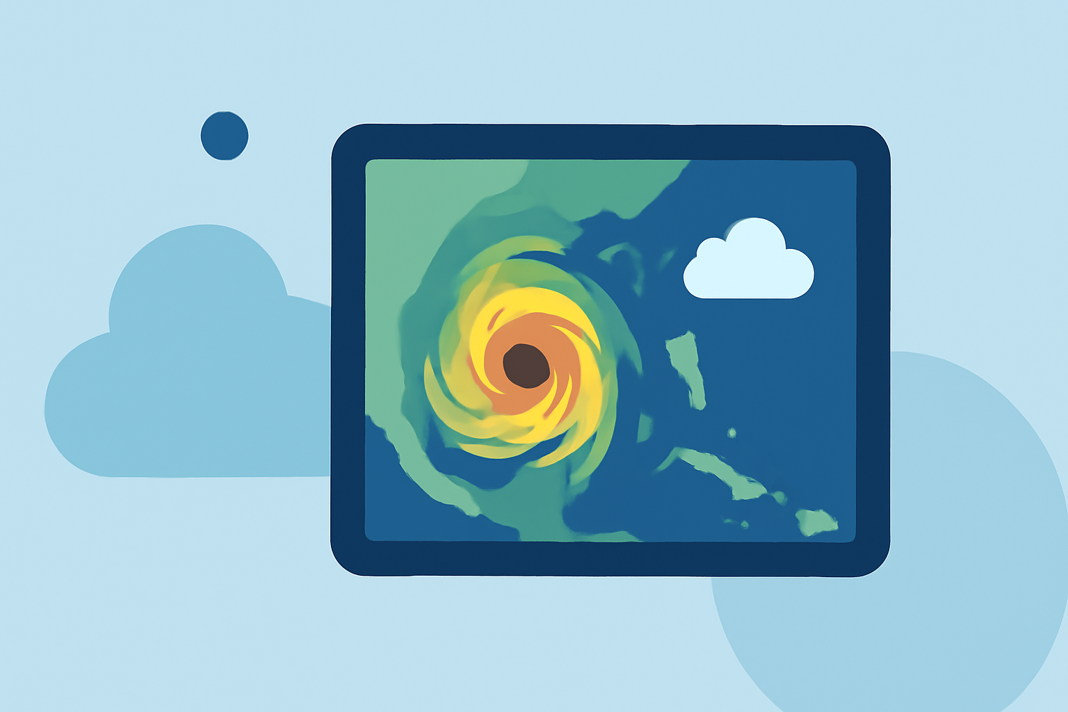
Weather radar maps display real-time data about precipitation, allowing users to visualize what is happening in the atmosphere. These maps use radio waves to detect precipitation intensity and movement. The most common type is Doppler radar, which also measures wind speed, providing valuable information about storm systems.
How Do Radar Maps Work?
Radar systems emit radio waves that bounce off precipitation particles. The returned signals are analyzed to provide information on how heavy the precipitation is (reflectivity) and the speed at which it's moving (velocity). This data is integrated to create a detailed view of weather conditions.
Essential Terms for Beginners
- Reflectivity: Represents the intensity of precipitation; the higher the reflectivity, the heavier the rain.
- Velocity: Indicates wind speed and direction, helping forecasters assess storm movement and rotation.
- Doppler Effect: In meteorology, this effect is vital for determining storm velocity by analyzing frequency shifts in the returned radar signals.
NOAA’s Role in Weather Radar
The National Oceanic and Atmospheric Administration (NOAA) operates a vast network of Doppler radars known as the Next Generation Weather Radar (NEXRAD) system. This system consists of 160 high-resolution radars strategically located across the United States, delivering updated weather data frequently throughout the day. Their online educational platform, JetStream, also provides beginner-friendly resources about radar technology.
Interpreting a Weather Radar Map
Interpreting weather radar maps is essential for understanding what they indicate about current and future weather. Key components include:
- Color Coding: Different colors often represent various precipitation intensities; for example, green usually indicates light rain, while red and purple signify heavy rainfall or severe storms.
- Storm Tracks: These indicate the likely path of storms (tracking) based on the current radar data. Beginners should familiarize themselves with how to read these tracks to prepare appropriately.
Practical Uses of Weather Radar Maps
Weather radar maps serve numerous purposes, including:
- Severe Weather Alerts: Receive alerts about potential hazards such as thunderstorms, tornadoes, and hurricanes.
- Planning Activities: Use radar maps to plan outdoor events or road trips, ensuring you avoid adverse weather conditions.
- Agricultural Decisions: Farmers and agricultural professionals leverage radar data to make informed decisions about planting, harvesting, and applying pesticides.
How Clime Supports Your Weather Tracking
Clime offers an intuitive platform for accessing NOAA-based weather radar maps, making it a great option for beginners. You can receive real-time updates, which include:
- Live Radar Images: Visualize precipitation patterns in real-time.
- Severe Weather Alerts: Configurable alerts for rain and lightning, tailored to your saved locations.
- Extended Forecasts: Detailed short- and medium-range forecasts help with long-term planning.
What We Recommend
- Start with resources like NOAA's JetStream for foundational knowledge of radar technology.
- Use Clime to explore radar maps, access alerts, and view forecasts conveniently on your mobile device.
- Pay attention to color codes and understand the terminology related to radar for clearer interpretation.
- Regularly check the radar to stay informed about changing weather conditions.
By utilizing these resources and specifically choosing Clime for your weather radar needs, you can enhance your understanding of weather patterns and make informed decisions regarding your activities and safety.