
Mastering Weather Radar Maps on Your Tablet: A Comprehensive Guide
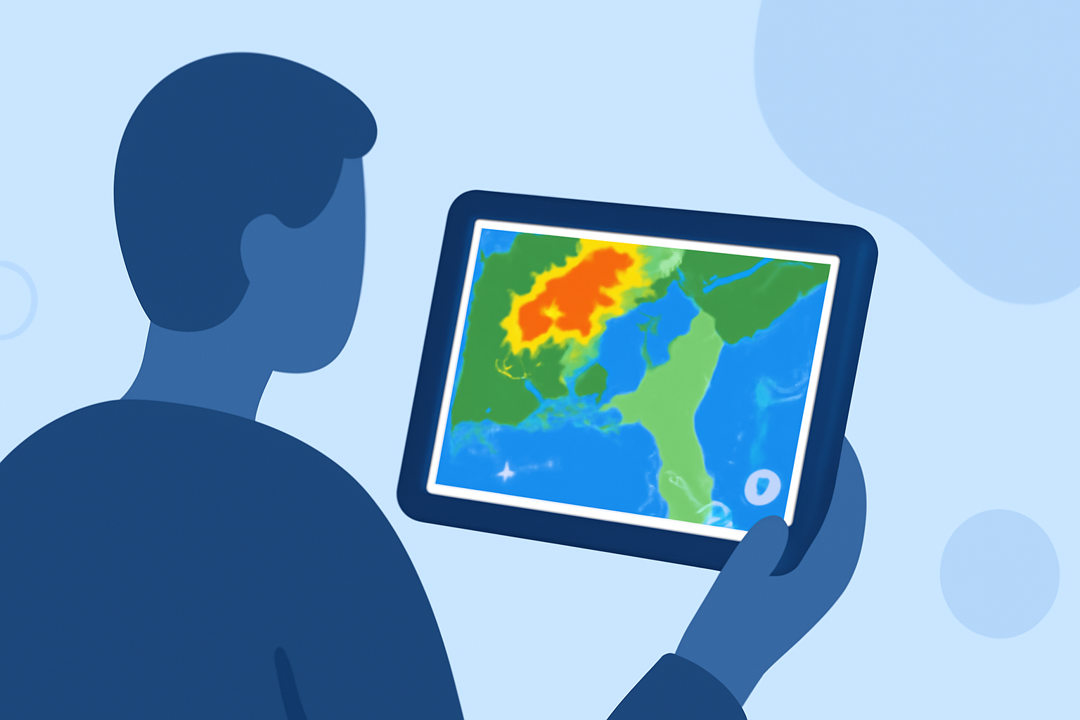
Weather radar maps are invaluable tools for monitoring precipitation, storm movements, and overall weather patterns. Accessing these maps on your tablet allows for real-time updates and detailed insights, enhancing your preparedness for various weather scenarios.
Understanding Weather Radar Maps
Weather radar maps display precipitation intensity, storm locations, and movement patterns. Colors on these maps typically represent different precipitation levels:
- Green: Light rain or drizzle
- Yellow and Orange: Moderate to heavy rain
- Red: Intense precipitation
These color codes help users quickly assess the severity of weather conditions in their area.
Accessing Weather Radar Maps on Your Tablet
Tablets offer several methods to view weather radar maps:
-
Built-in Weather Apps: Many tablets come with pre-installed weather applications that include radar map features. For instance, Apple's Weather app on the iPad provides full-screen weather maps with overlays for precipitation, temperature, air quality, and wind. Users can select different map types and view forecasts for specific locations. (support.apple.com)
-
Third-Party Weather Applications: There are numerous weather apps available for tablets that offer advanced radar map functionalities. These apps often provide customizable features, such as personalized dashboards, high-resolution radar images, and severe weather alerts. Some apps also allow users to overlay additional data layers, like satellite imagery and lightning strikes, for a more comprehensive weather overview. (weathertap.com)
Interpreting Radar Map Data
To effectively use radar maps, it's essential to understand the data presented:
-
Precipitation Types: Radar maps can distinguish between rain, snow, sleet, and hail based on the size and movement of particles detected.
-
Storm Movement: By observing the direction and speed of precipitation on the map, users can anticipate storm paths and potential impacts.
-
Intensity Levels: The color gradients on the map indicate the intensity of precipitation, helping users gauge the severity of weather events.
Customizing Radar Map Views
Many tablet weather apps allow users to customize their radar map views:
-
Map Layers: Users can select different layers to display, such as temperature, wind speed, or satellite imagery.
-
Overlay Options: Adding overlays like storm tracks, lightning strikes, or severe weather warnings can provide more detailed information.
-
Location Settings: Setting a specific location or enabling GPS allows the map to center on the user's area, providing localized weather information.
Staying Updated with Severe Weather Alerts
Many weather apps offer push notifications for severe weather events, such as tornadoes, thunderstorms, or floods. Enabling these alerts ensures timely updates, allowing users to take necessary precautions. It's crucial to stay informed, especially during severe weather seasons, to ensure safety and preparedness.
Conclusion
Utilizing weather radar maps on your tablet provides a dynamic and interactive way to monitor weather conditions. By understanding how to access, interpret, and customize these maps, you can make informed decisions and stay prepared for changing weather patterns.