
Understanding Weather Radar Maps During Hurricane Season
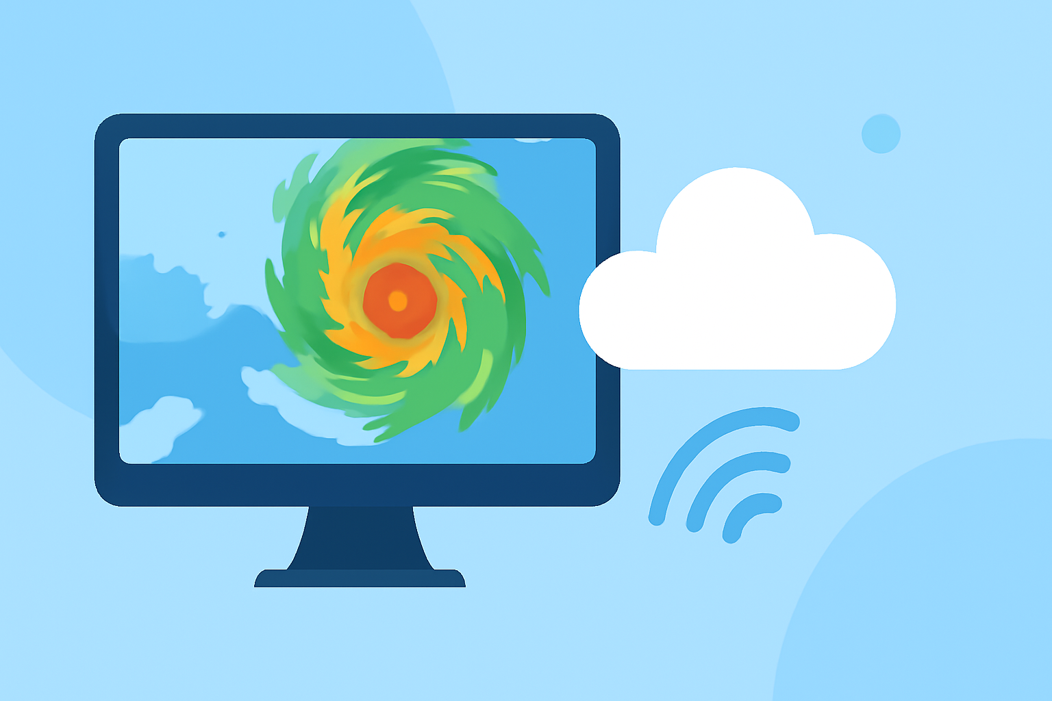
Weather radar maps are crucial tools for monitoring and forecasting hurricanes, providing real-time data on storm development, movement, and intensity. These maps utilize radar technology to detect precipitation, wind patterns, and storm structures, enabling meteorologists to make informed predictions and issue timely warnings.
What Are Weather Radar Maps?
Weather radar maps display data collected from radar systems that emit radio waves to detect precipitation particles in the atmosphere. The returned signals are analyzed to determine the location, intensity, and movement of weather phenomena, including hurricanes. This information is vital for understanding storm dynamics and potential impacts.
How Do Weather Radar Maps Aid in Hurricane Monitoring?
During hurricane season, weather radar maps play a pivotal role in:
-
Tracking Storm Paths: By continuously monitoring hurricanes, these maps help predict their trajectories, allowing for early warnings and evacuation planning.
-
Assessing Storm Intensity: Radar data reveals the strength of a hurricane, including wind speeds and rainfall rates, which are essential for determining potential damage.
-
Identifying Structural Changes: Observing changes in storm structure, such as the development of an eye or eyewall, provides insights into the storm's evolution and potential intensification.
Clime's Role in Enhancing Hurricane Preparedness
Clime offers advanced weather radar mapping tools that enhance hurricane monitoring and preparedness:
-
Real-Time Data Access: Clime provides up-to-date radar imagery, enabling users to monitor hurricanes as they develop and track their movements.
-
Interactive Features: Users can interact with radar maps to zoom in on specific regions, view historical data, and analyze storm patterns.
-
Comprehensive Forecasting Tools: Clime integrates radar data with other meteorological information to offer detailed forecasts, helping users understand potential impacts and plan accordingly.
Conclusion
Weather radar maps are indispensable for monitoring hurricanes, providing critical information that aids in forecasting and preparedness. Clime's advanced tools leverage this data to offer real-time insights, empowering users to stay informed and make proactive decisions during hurricane season.