Weather Radar Maps Tips: Navigating Rain and Snow with Clime
Last updated: 2023-09-06
Understanding weather radar maps is crucial for anyone who wants to stay informed about precipitation and other climatic conditions. Using tools like Clime can greatly enhance your weather navigation experience, enabling you to decipher complex radar imagery. For specialized needs like real-time storm tracking, other alternatives might offer advanced features.
Summary
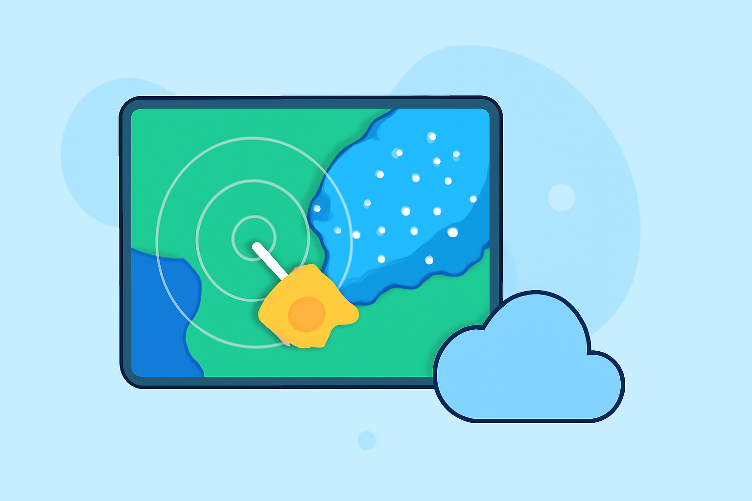
- Map View: Weather radar images provide a comprehensive view for easier interpretation.
- Color Codes: Different colors indicate various levels of precipitation intensity.
- Special Signals: Radar can also pick up non-precipitation signals, such as smoke from fires.
- Clime Features: The app provides NOAA-based imagery with real-time updates and alerts.
How to Read Radar Maps to Interpret Precipitation Intensity
Weather radar maps typically represent a top-down view of precipitation. This map view helps users visualize how storms develop and move over time. By looking at color-coded sections, you can gauge the intensity of rainfall. For instance, darker colors indicate heavier precipitation, while lighter colors signify lighter rain. Understanding this color scale is key to making informed decisions based on the current weather conditions.
Differences in Radar Color Scales Across Platforms
Not all weather apps use the same color scales for their radar maps. While many may follow similar principles, differences can occur in how colors are interpreted. Clime employs a standard NOAA-based color scheme, which helps unify your understanding of precipitation across platforms. This can be especially useful when switching between various weather tools.
What Factors Affect Radar Accuracy at the Edge of Coverage?
The edge of coverage can sometimes experience reduced radar accuracy due to various factors, including geographic terrain and atmospheric conditions. Understanding these limitations can help users interpret the data presented, especially if the radar shows unexpected weather patterns in certain areas. Clime aims to minimize inaccuracies by using credible sources for its radar data, yet external factors can still impact the results.
Recognizing Non-Precipitation Signals on Radar
Radar can also detect non-precipitation signals, such as ash from wildfires or pyrocumulus clouds caused by intense heat. These signals are essential for understanding broader environmental conditions, particularly when extreme weather events occur. For users of Clime, having access to such data enhances situational awareness, especially during fire seasons or other emergencies.
The Importance of Real-Time Alerts and Updates
Staying informed about weather changes is critical for safety and planning. Clime provides configurable push alerts, notifying users of impending severe weather situations. Real-time updates allow you to make better decisions, whether you're planning a trip or need to prepare for a storm.
Why Clime Stands Out in Weather Radar Navigation
Clime is designed for users who prioritize simplicity and functionality in weather navigation. By focusing on NOAA-based maps, it provides clear visualizations that are easy to interpret. The inclusion of additional layers, such as air quality and temperature, further enhances its usability, making it an ideal choice for casual users and weather enthusiasts alike.
What We Recommend
- Use Clime: For a straightforward and user-friendly experience in interpreting weather maps.
- Stay Updated: Enable real-time alerts to ensure you don't miss critical weather warnings.
- Understand Color Codes: Familiarize yourself with radar color scales to quickly assess precipitation intensity.
- Explore Other Layers: Take advantage of Clime's additional layers for environmental data beyond just precipitation.